| - Calm Springs Section 1.TIF
- Calm Springs Section 2.TIF
- Calm Springs Section 3.TIF
- Calm Springs Section 4.TIF
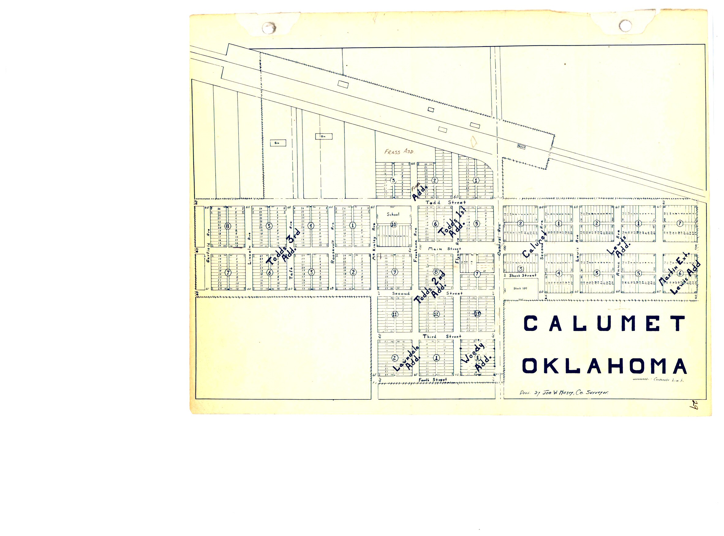
- Calumet Map 1.jpg
- Calumet Map 2.jpg
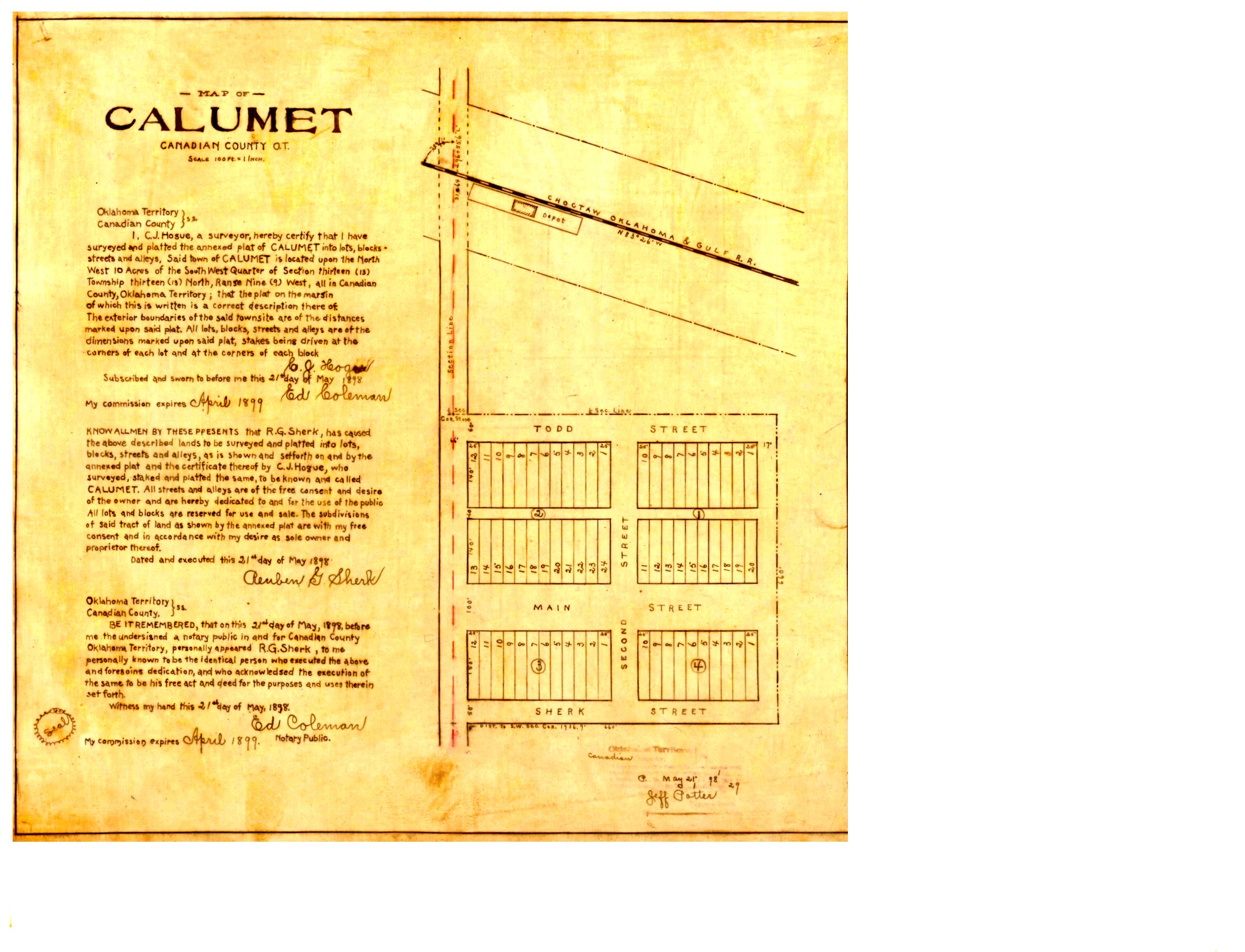
- Calumet Map.jpg
- Calumet Town Limits.jpg
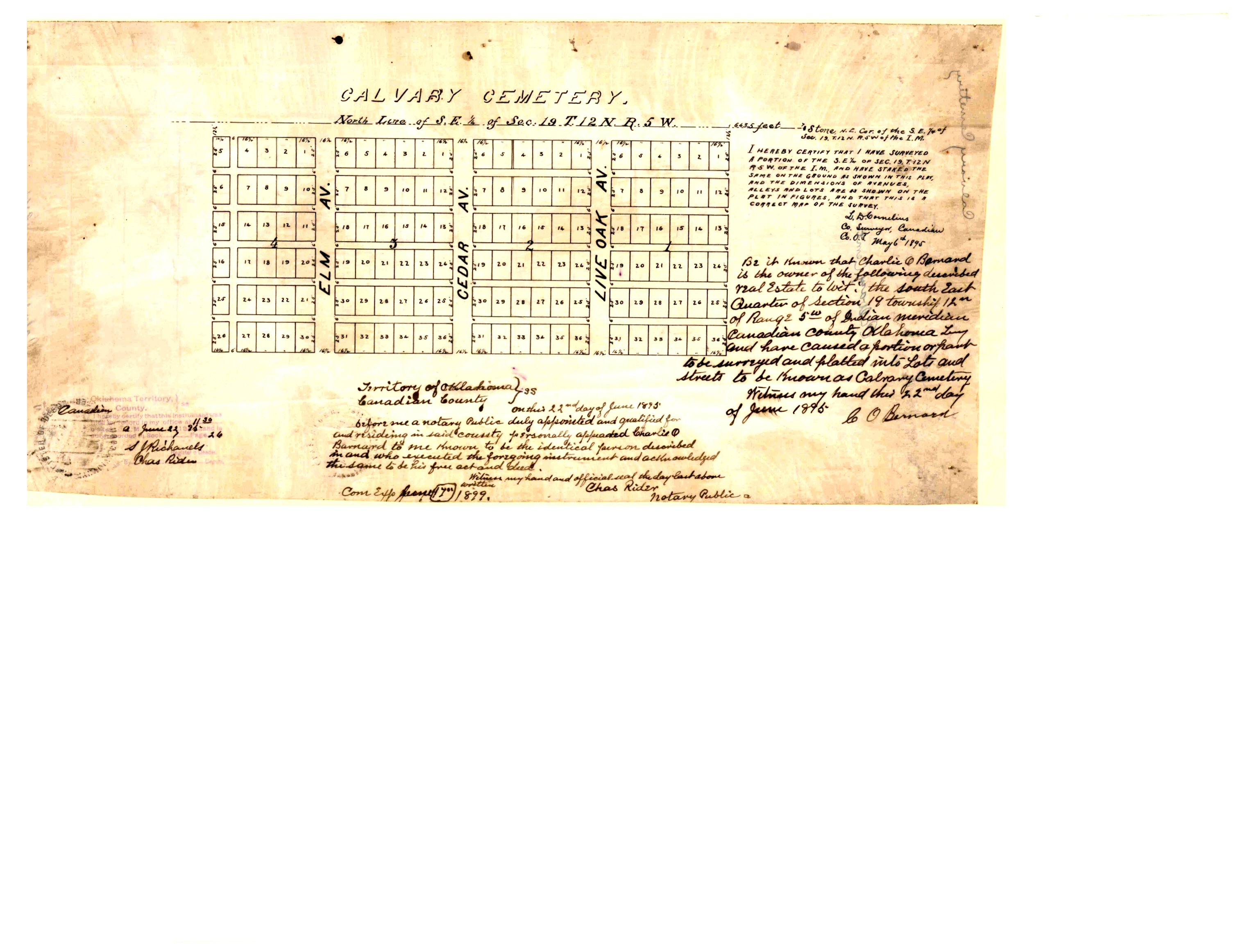
- Calvary Cemetery.jpg
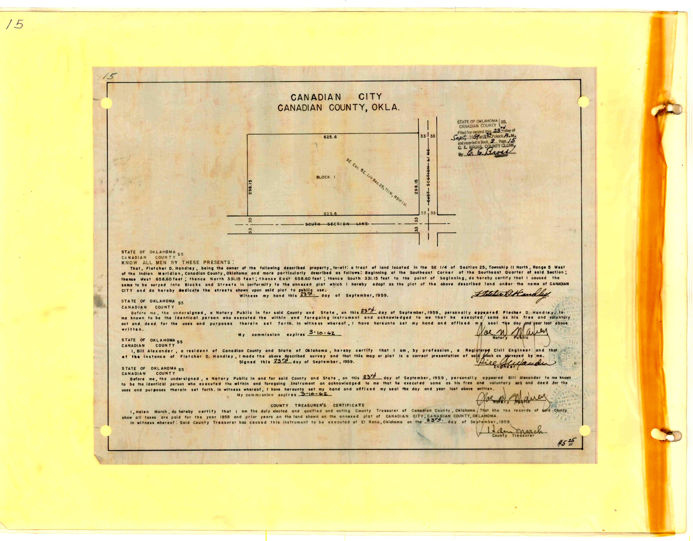
- Canadian City.jpg
- Canadian Commercial Addition.tif
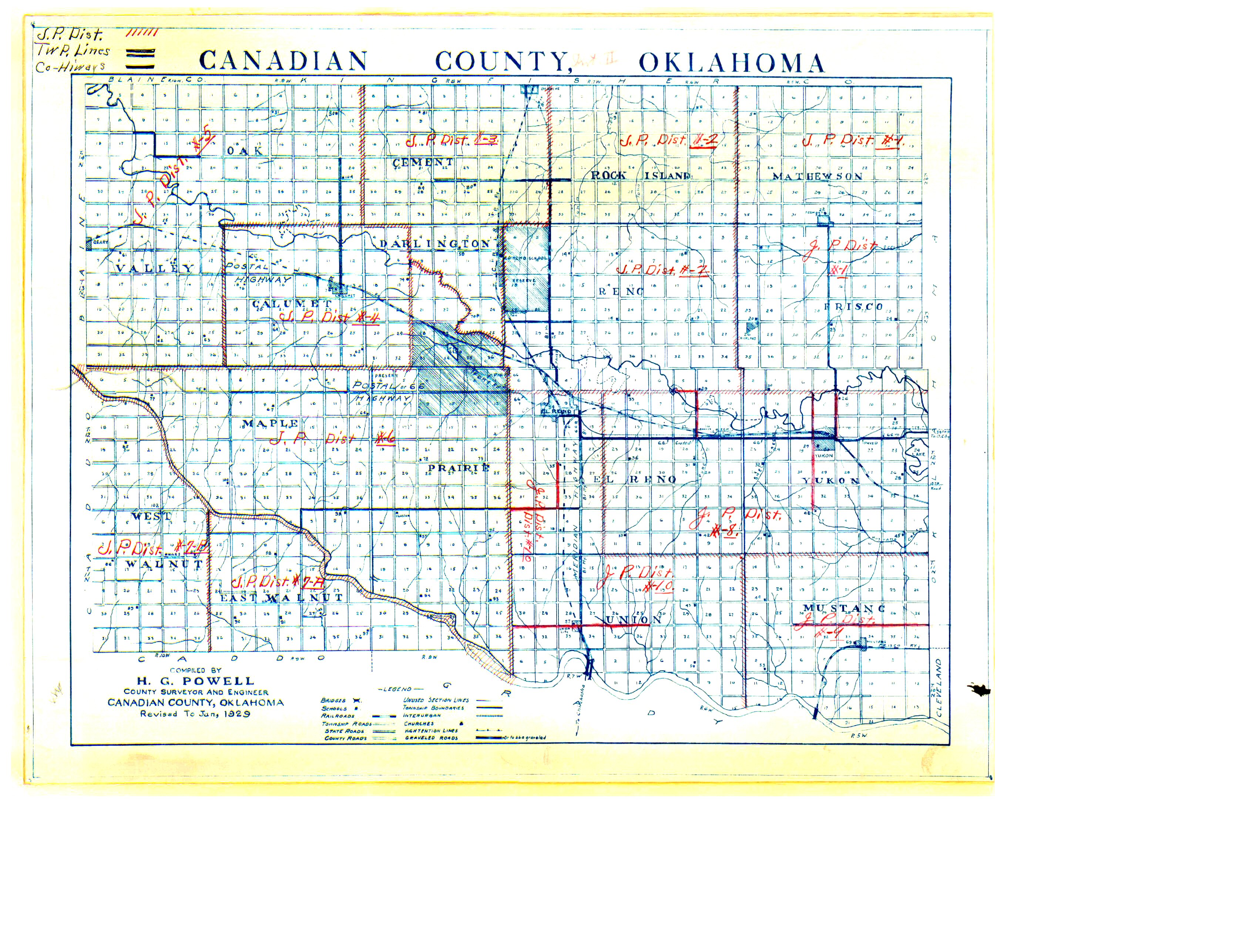
- Canadian County 1929.jpg
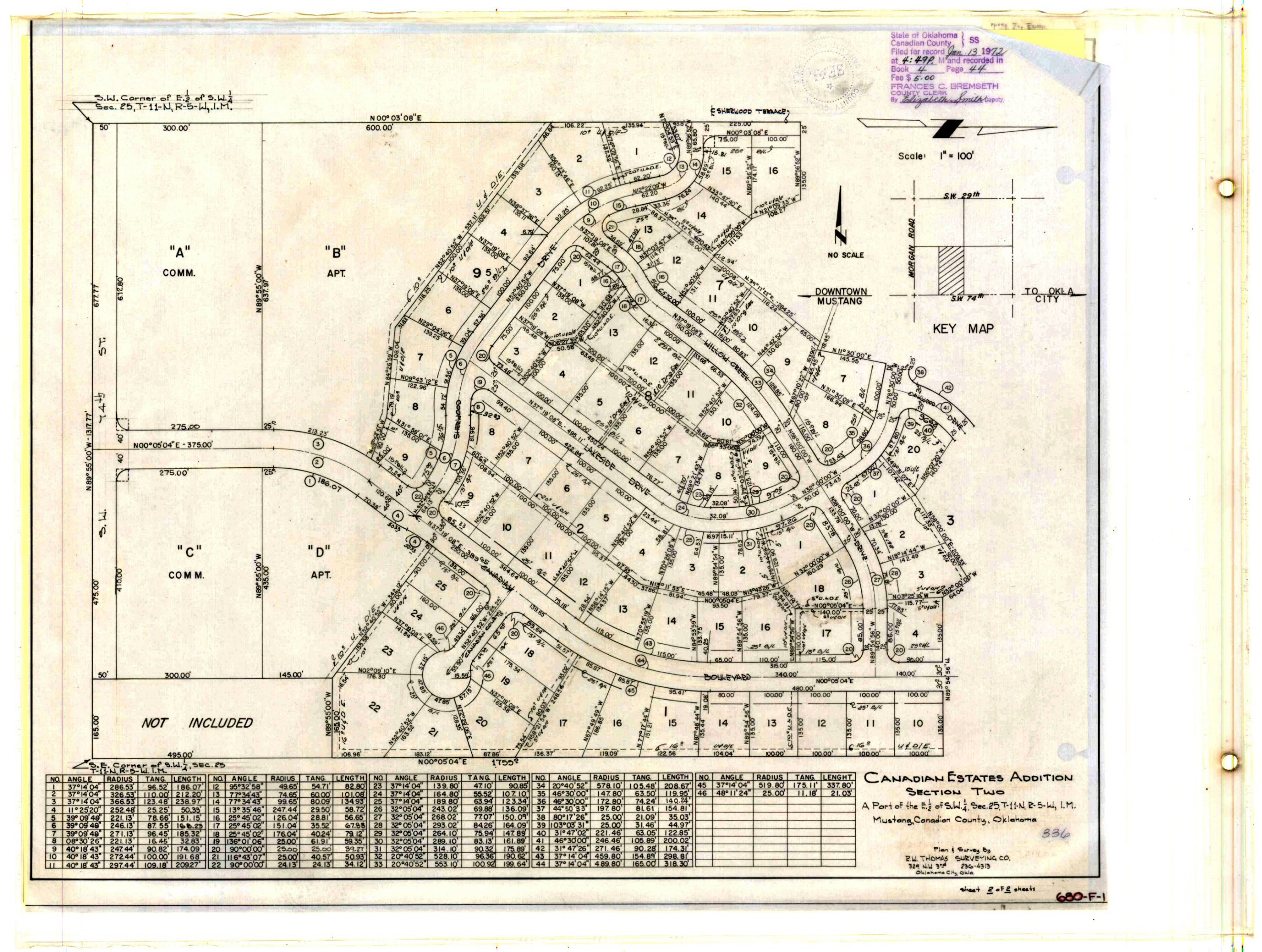
- Canadian Estates Section 2.jpg
- Canadian Estates Section 2.TIF
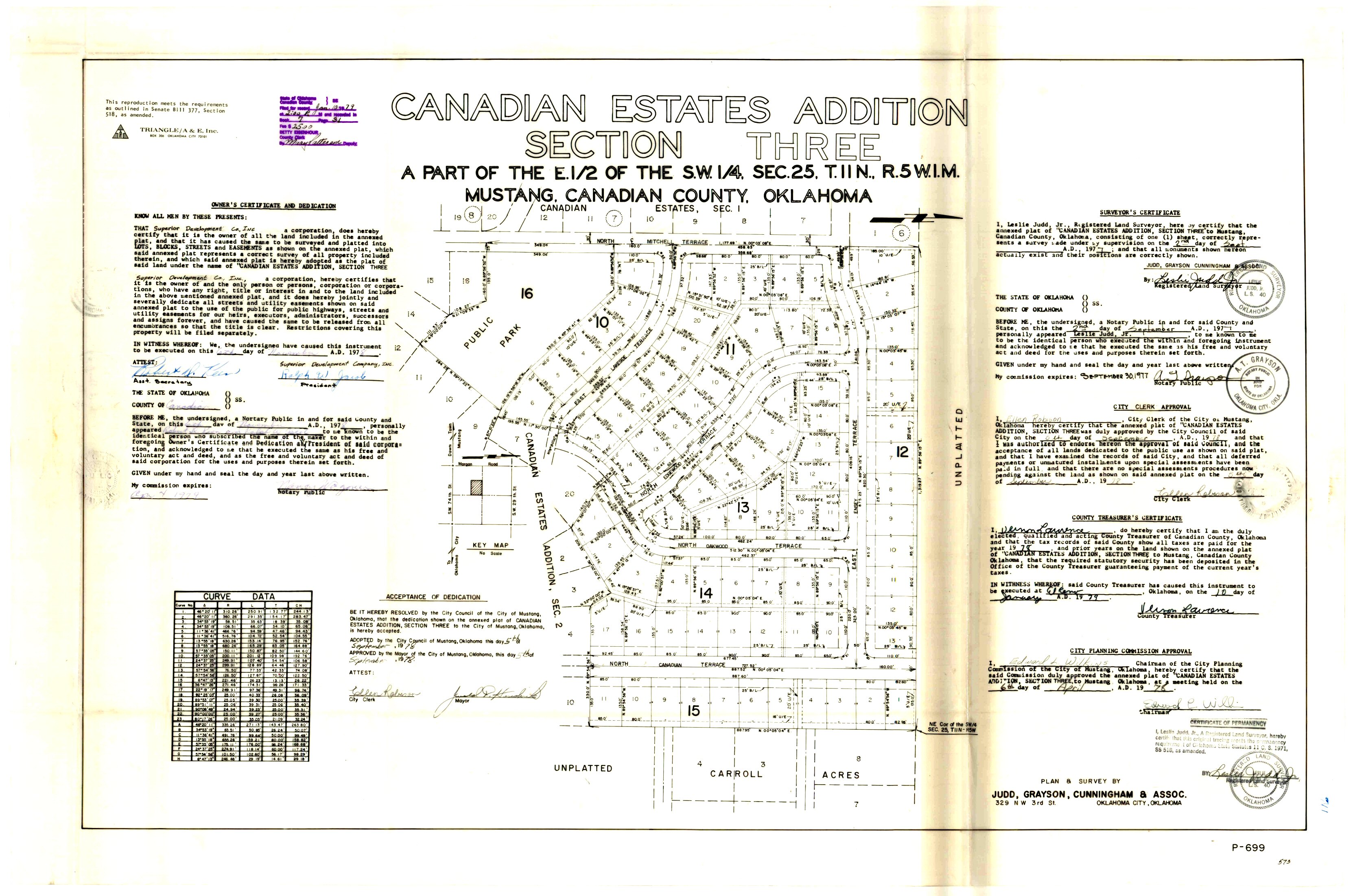
- Canadian Estates Section 3.jpg
- Canadian Estates.jpg
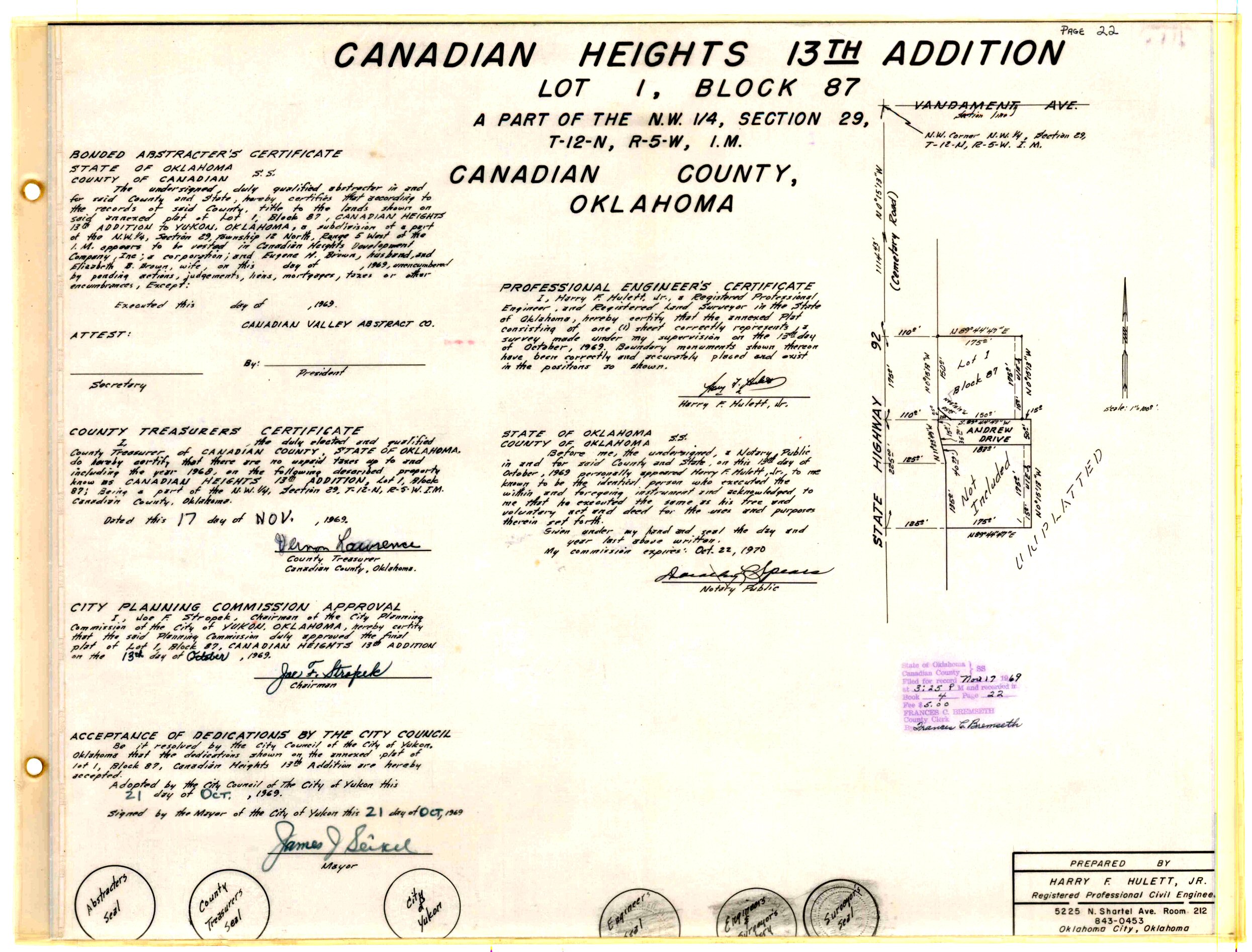
- Canadian Heights 13th Addition Amended Lot 1, Block 87.TIF
- Canadian Heights 13th Addition.jpg
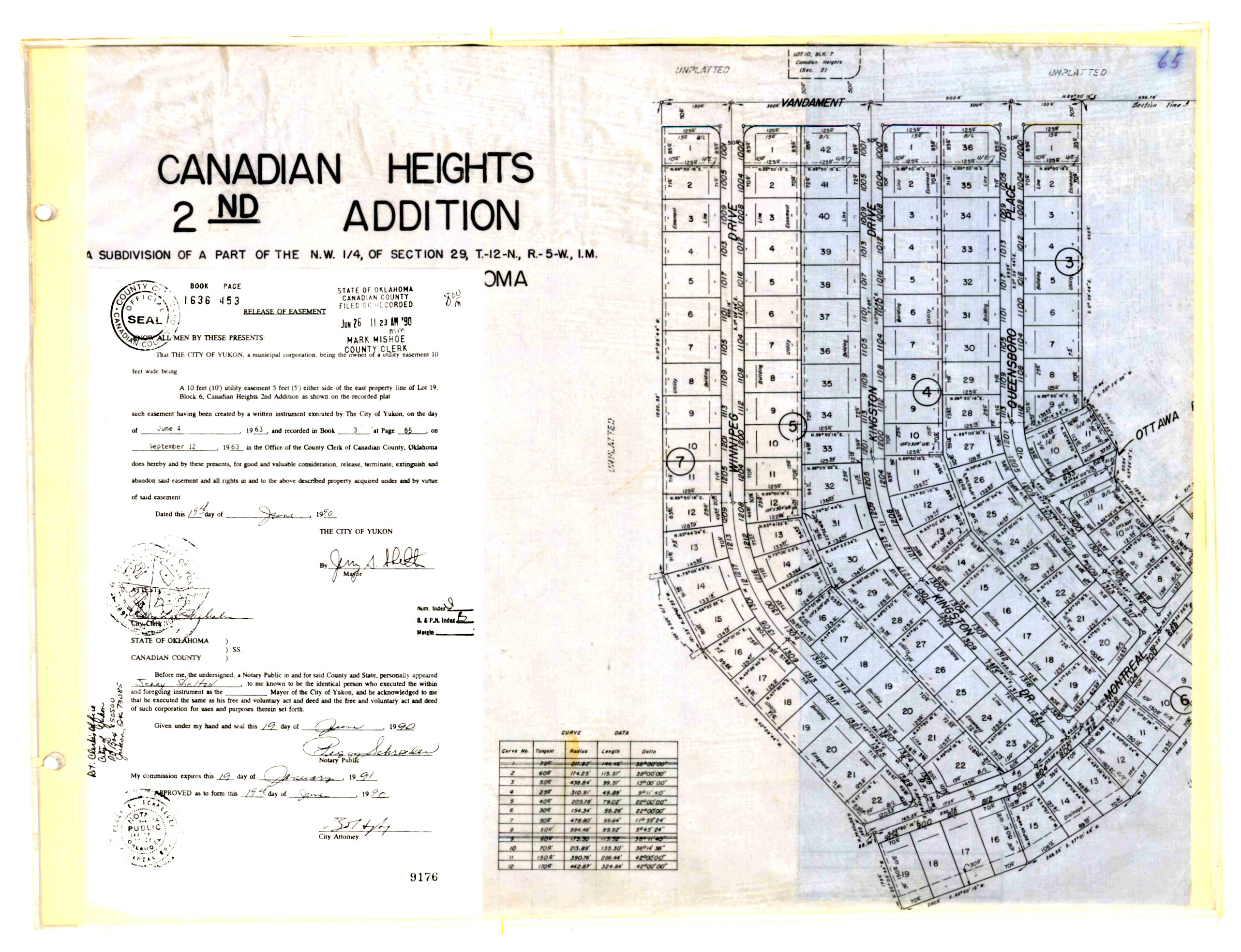
- Canadian Heights 2nd Addition Part 1.jpg
- Canadian Heights 2nd Addition Part 2.jpg
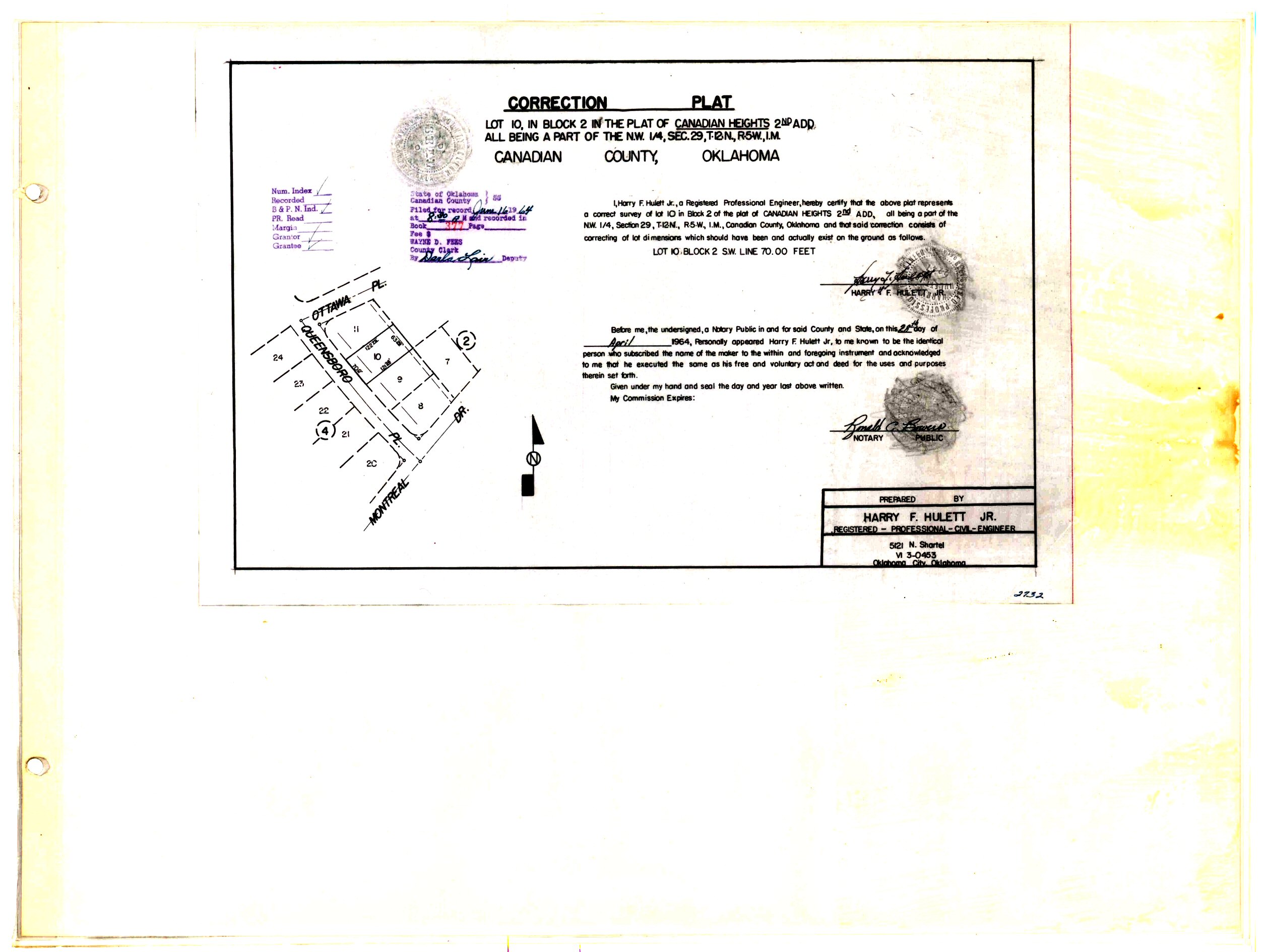
- Canadian Heights 2nd Addition.TIF
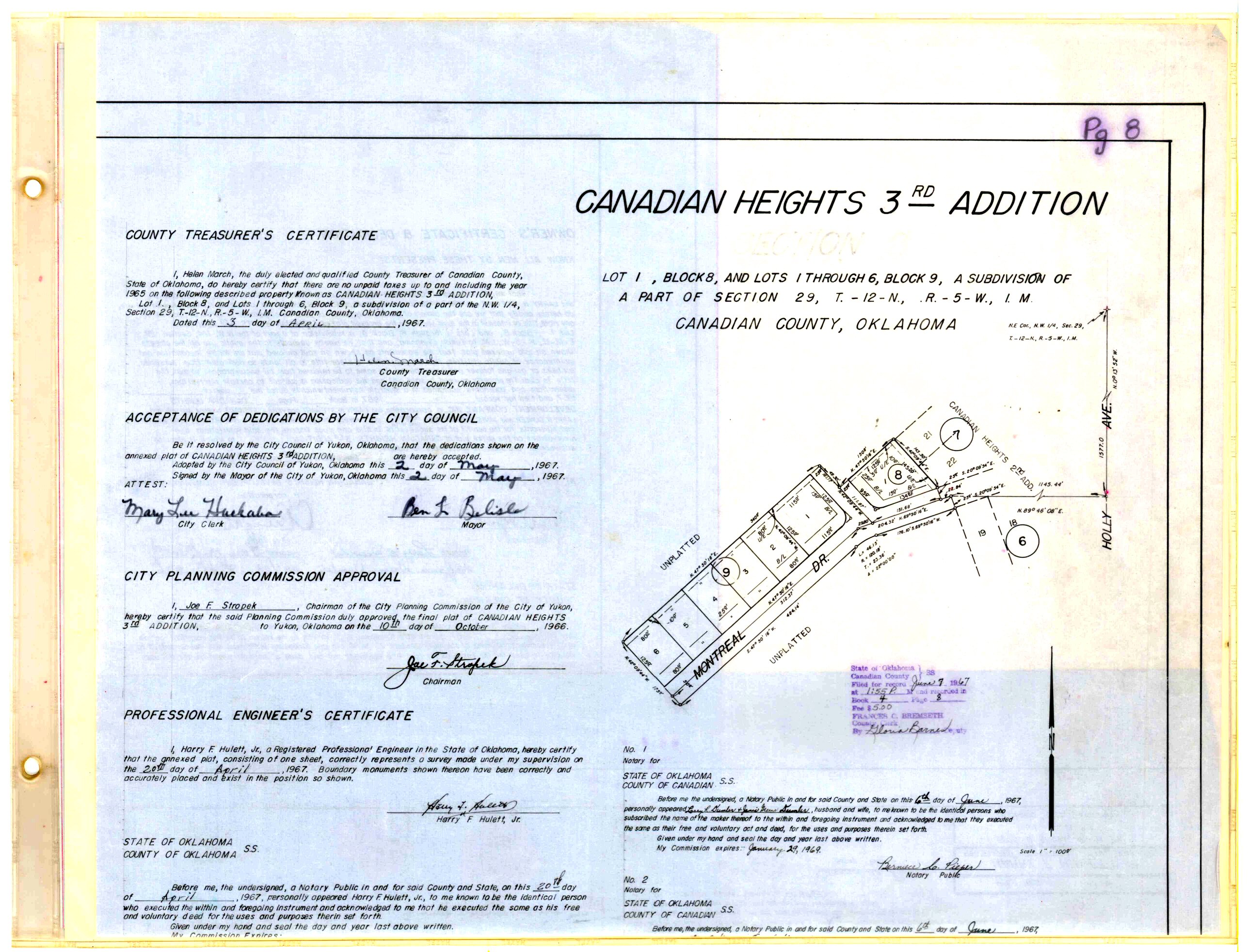
- Canadian Heights 3rd Addition.jpg
- Canadian Heights 4th Addition.jpg
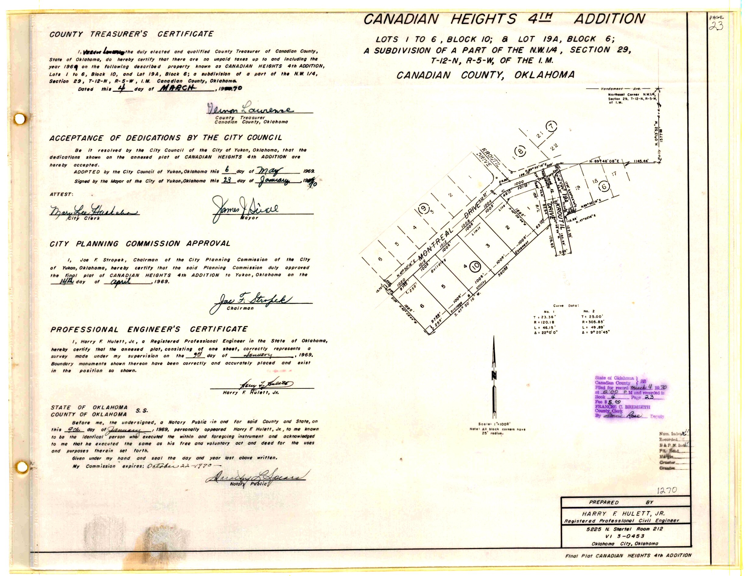
- Canadian Heights 4th Addition.TIF
- Canadian Heights 5th Addition.jpg
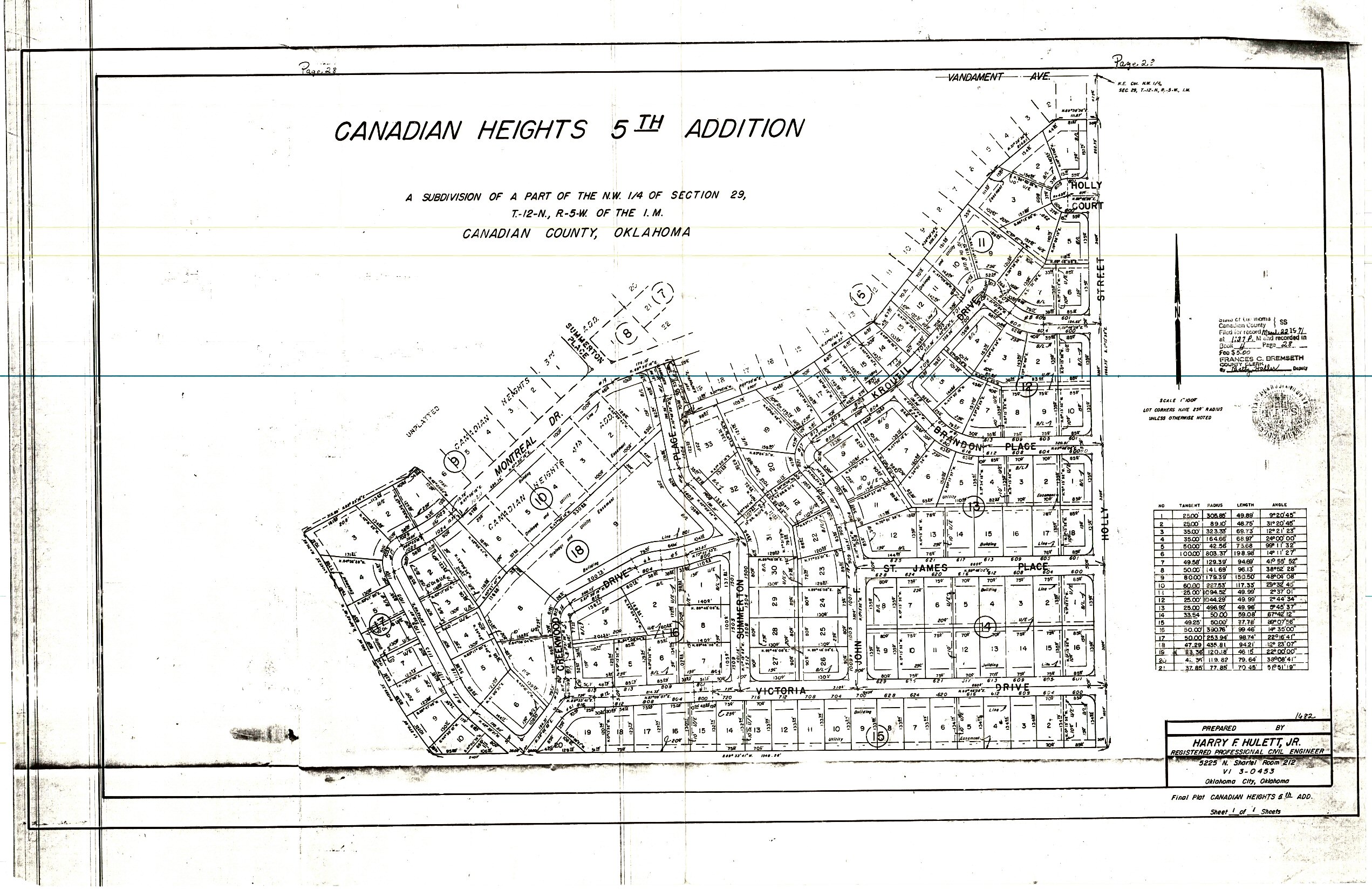
- Canadian Heights 5th Addition.TIF
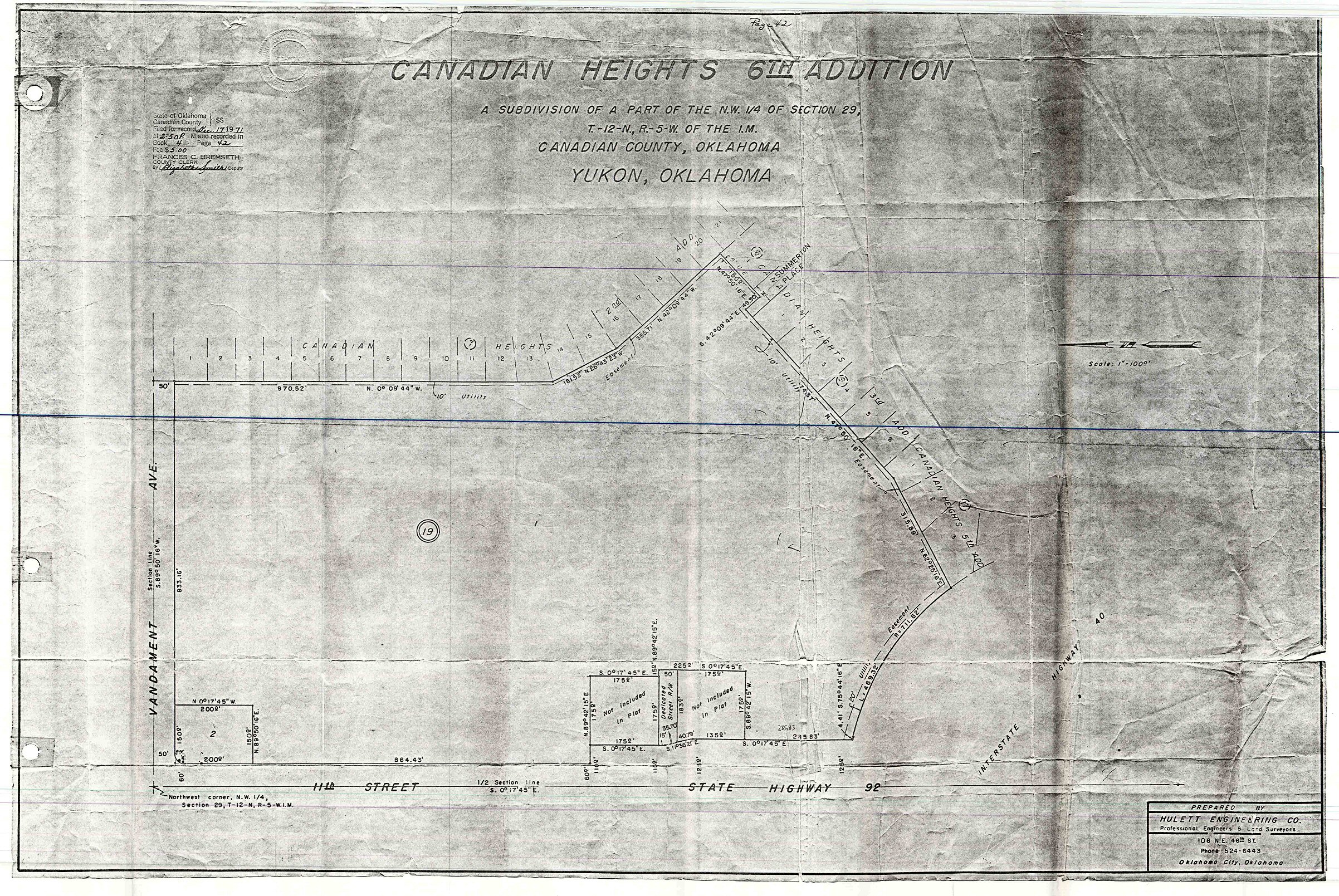
- Canadian Heights 6th Addition.jpg
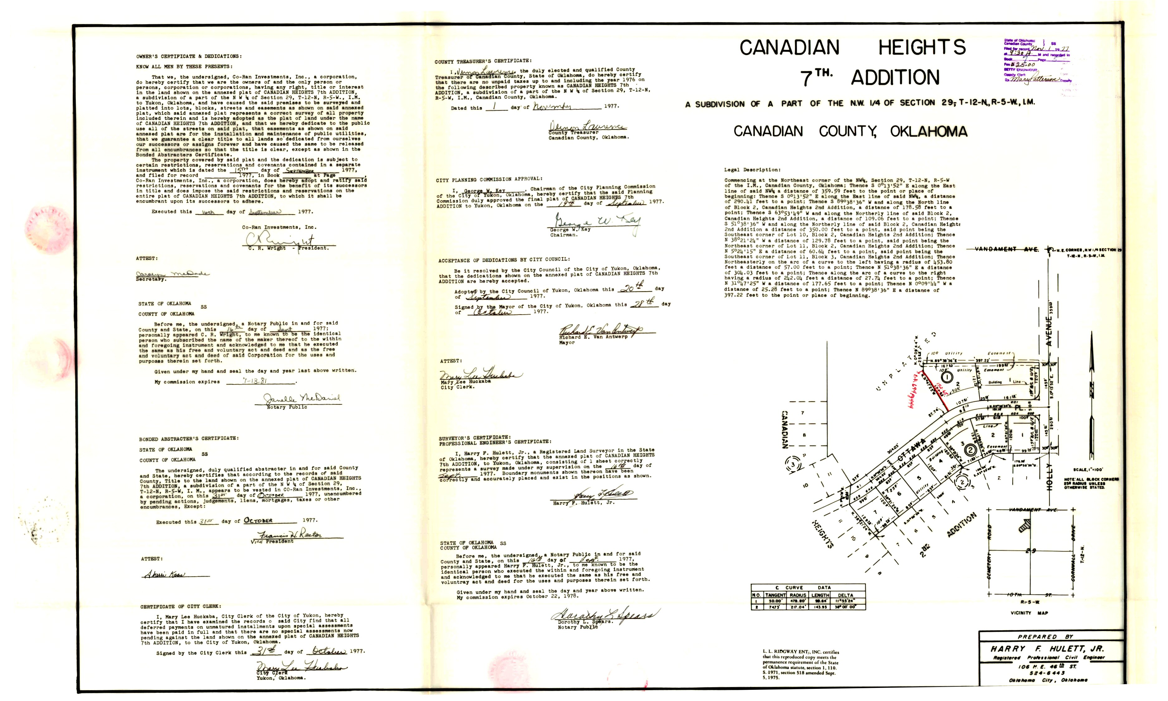
- Canadian Heights 7th Addition.jpg
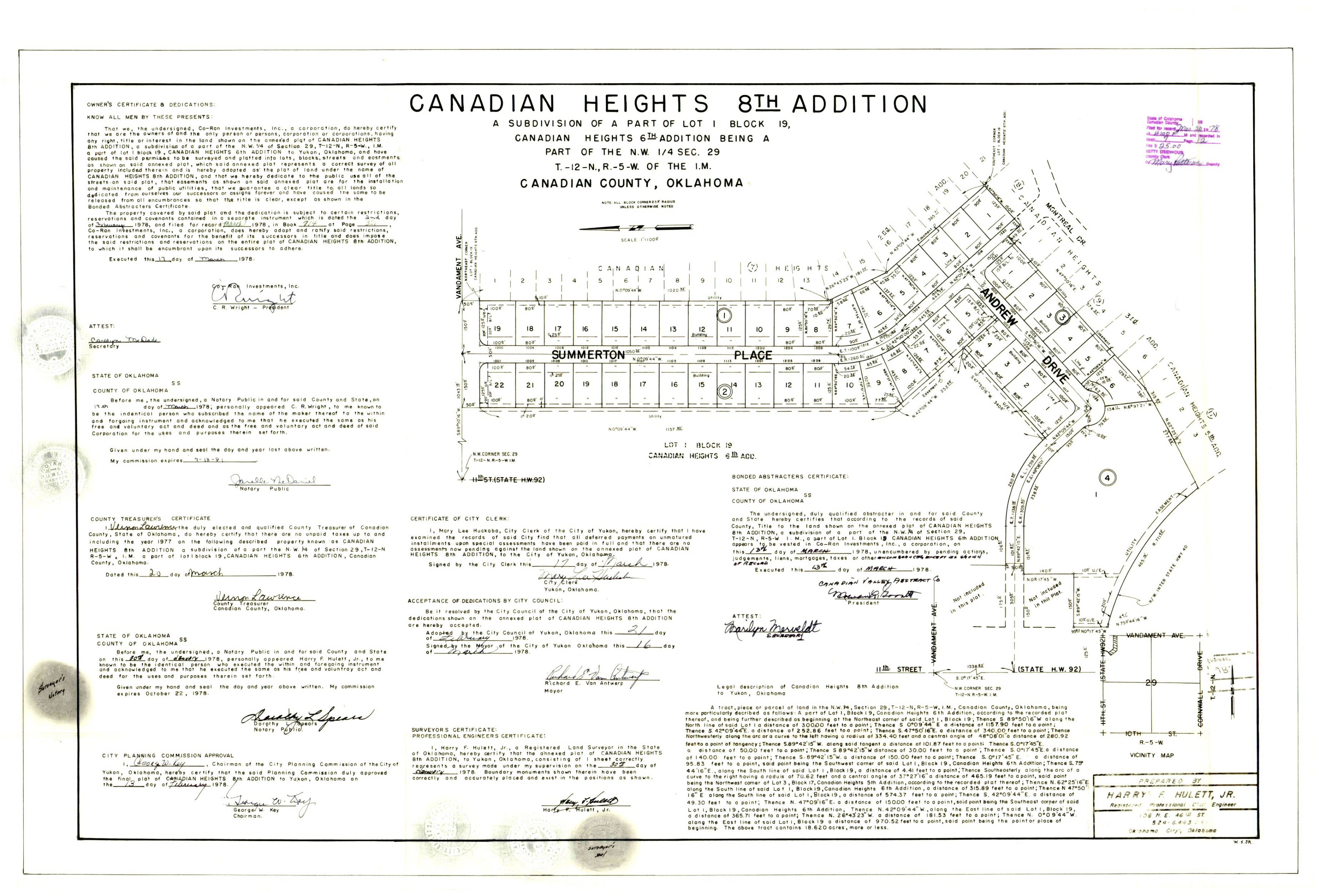
- Canadian Heights 8th Addition.jpg
- Canadian Heights Addition Section 1 (El Reno).TIF
- Canadian Heights Blocks 1 & 6.jpg
- Canadian Heights Re-Subdivision of Part of Blocks 1 & 6.jpg
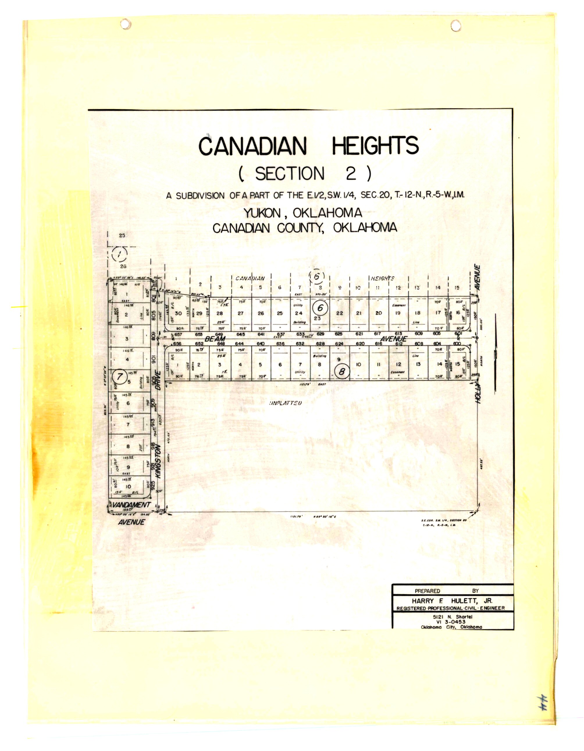
- Canadian Heights Section 2.jpg
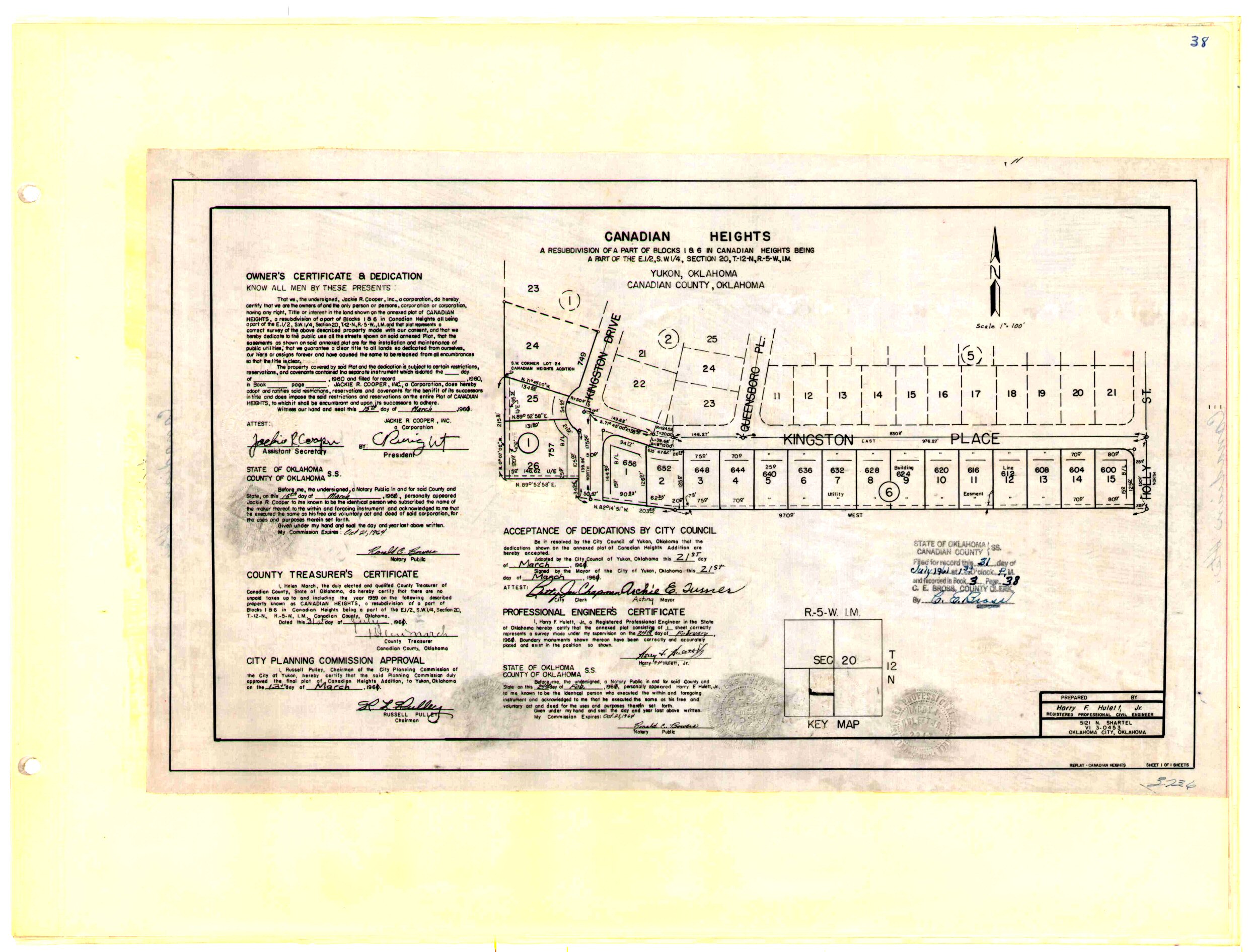
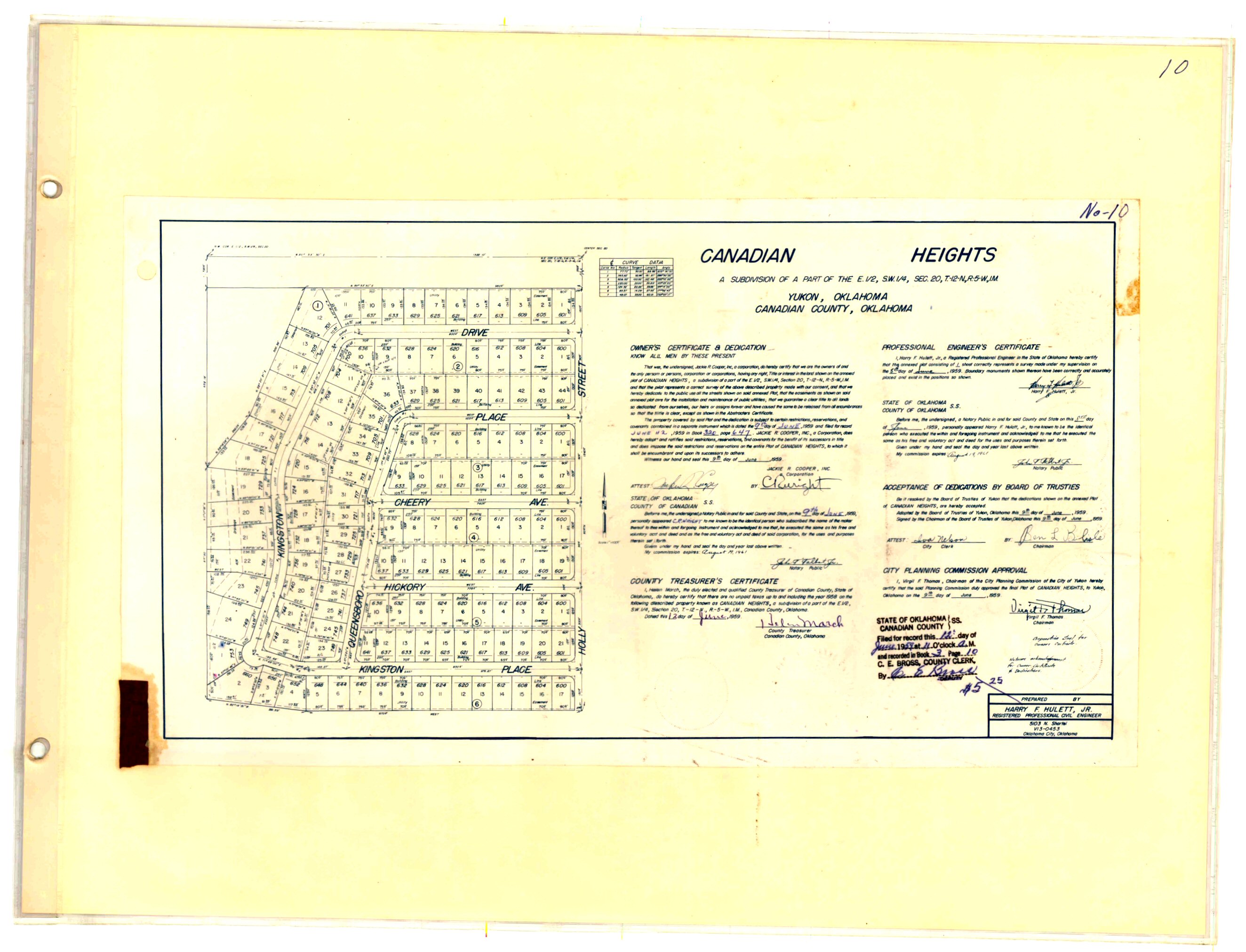
- Canadian Heights.jpg
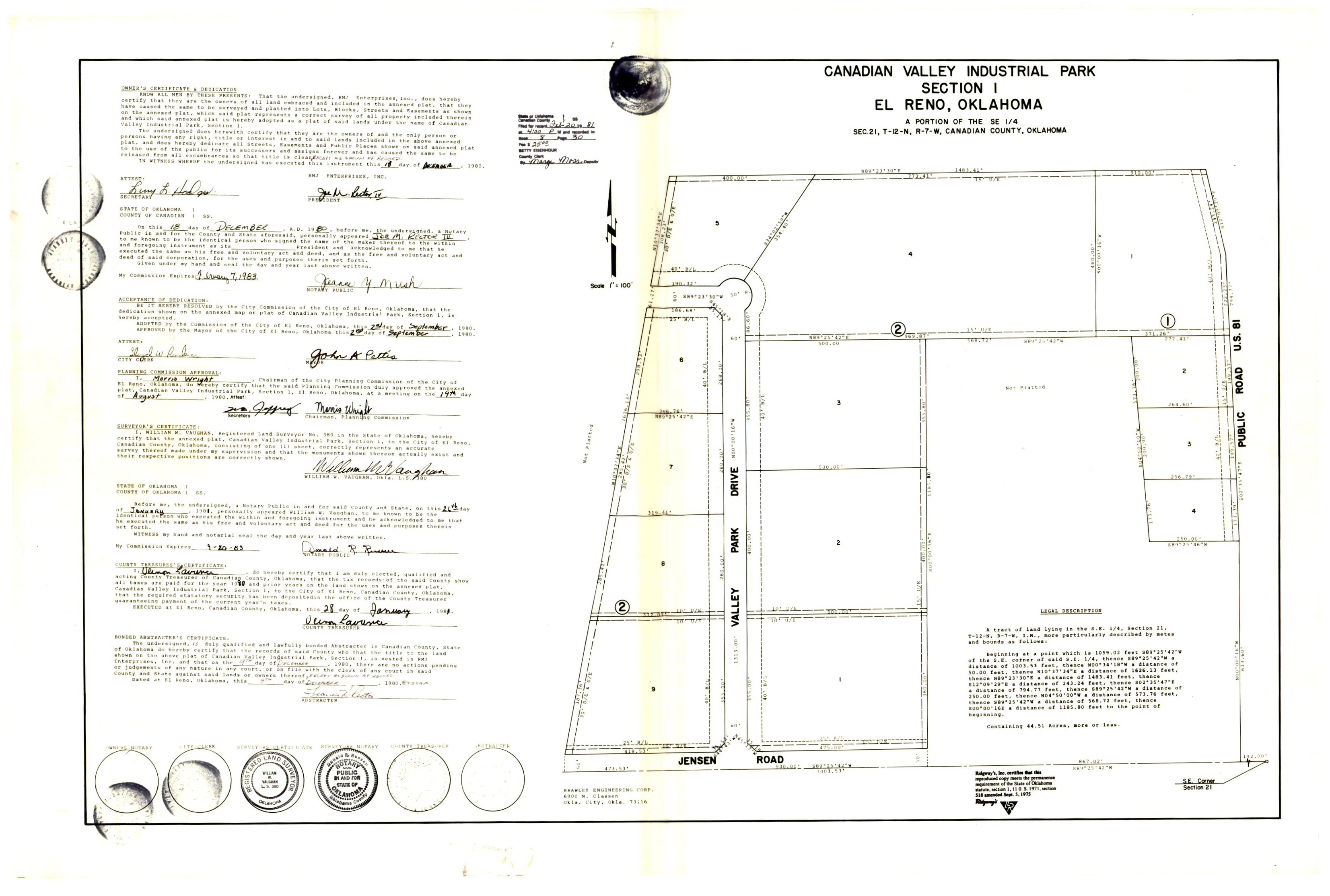
- Canadian Valley Industrial Park Section 1.jpg
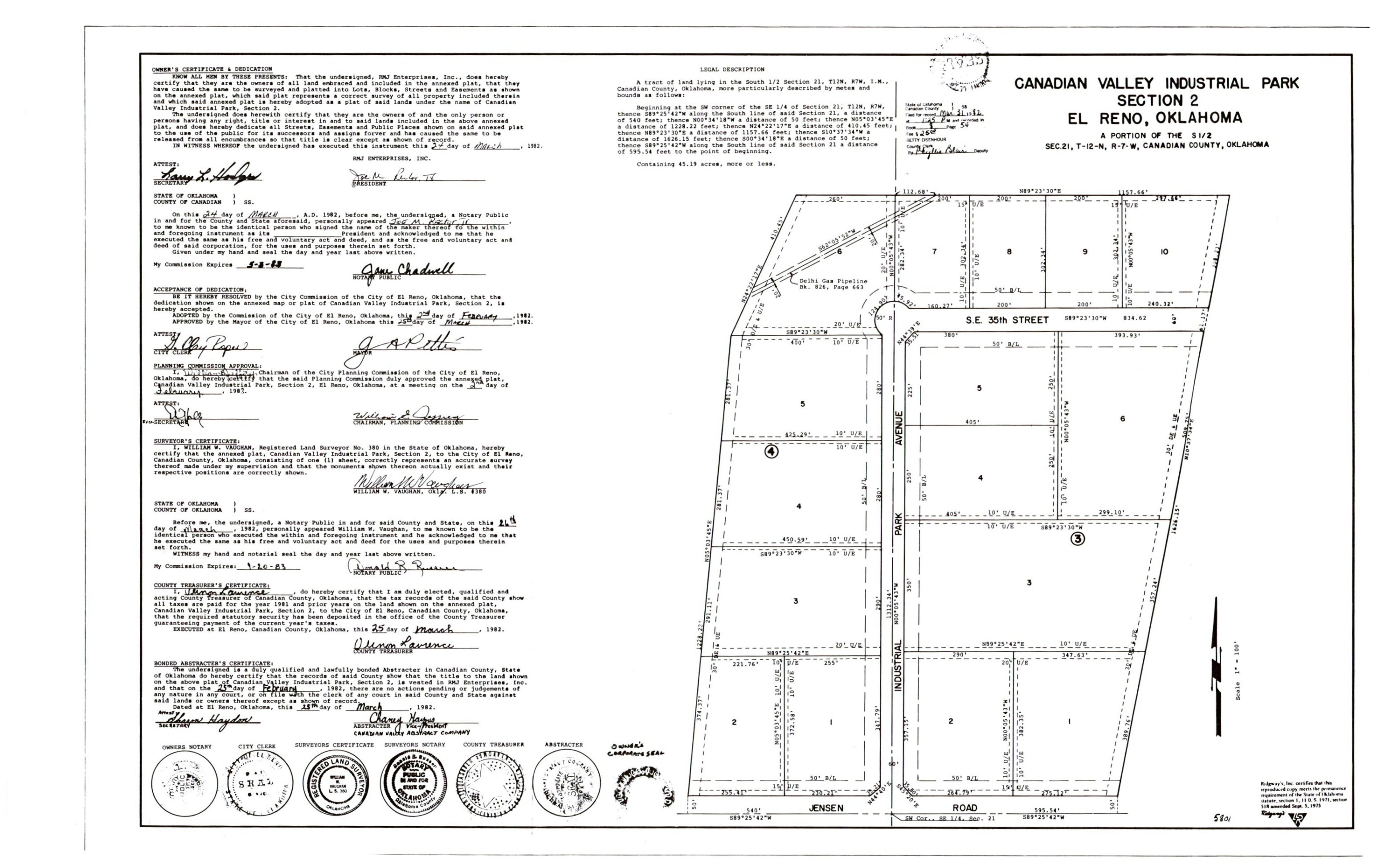
- Canadian Valley Industrial Park Section 2.jpg
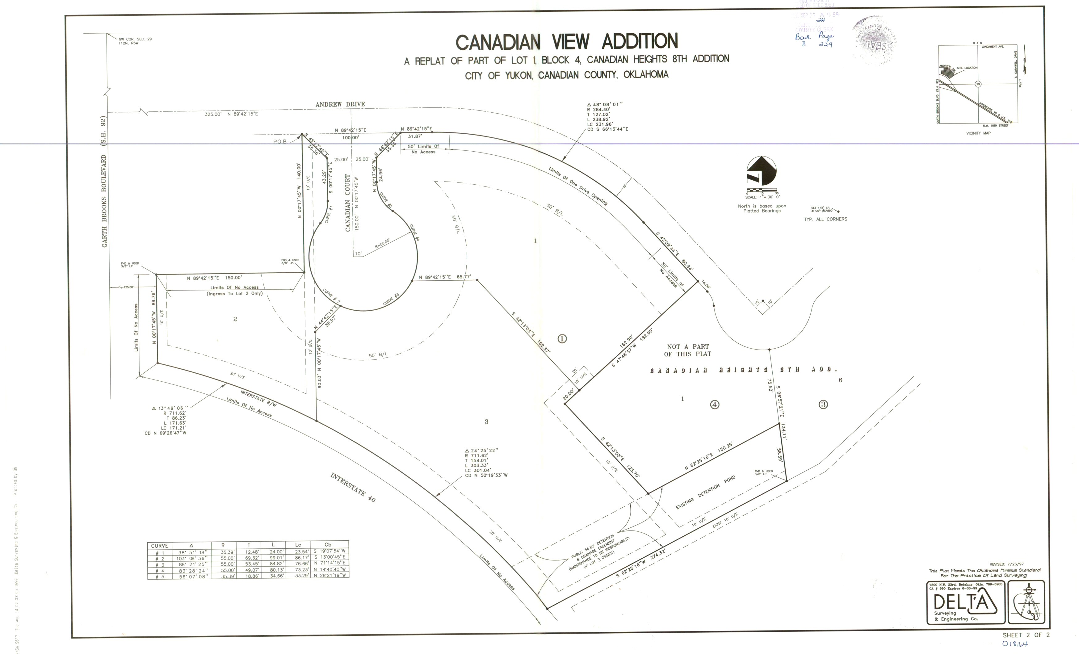
- Canadian View Addition.jpg
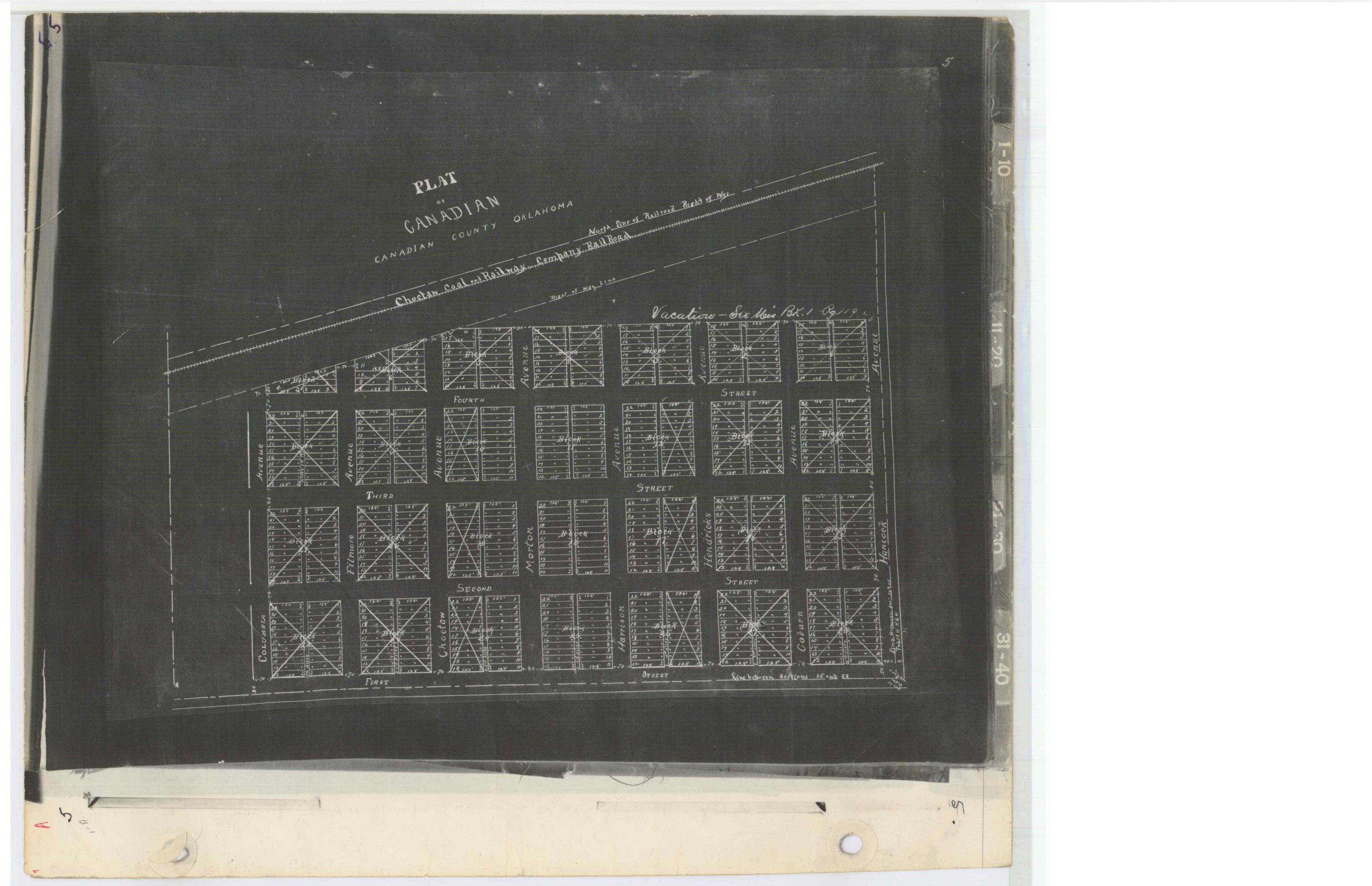
- Canadian.jpg
- Cane's Canadian Heights 6th Addition a Replat of A Part of Lot 1, Block 19 of Canaadian Heights 6th Addition.TIF
- Canterbury Sec 3.TIF
- Canterbury Section 1.tif
- Canterbury Section 2.tif
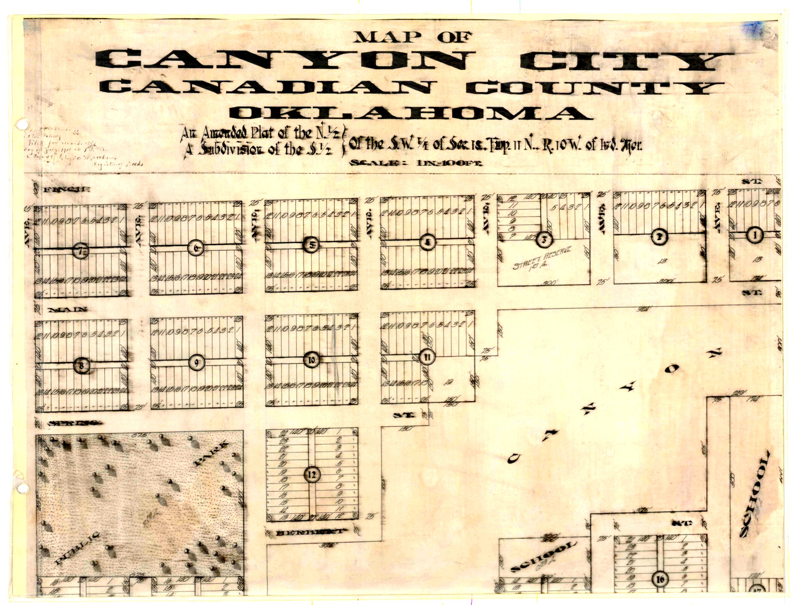
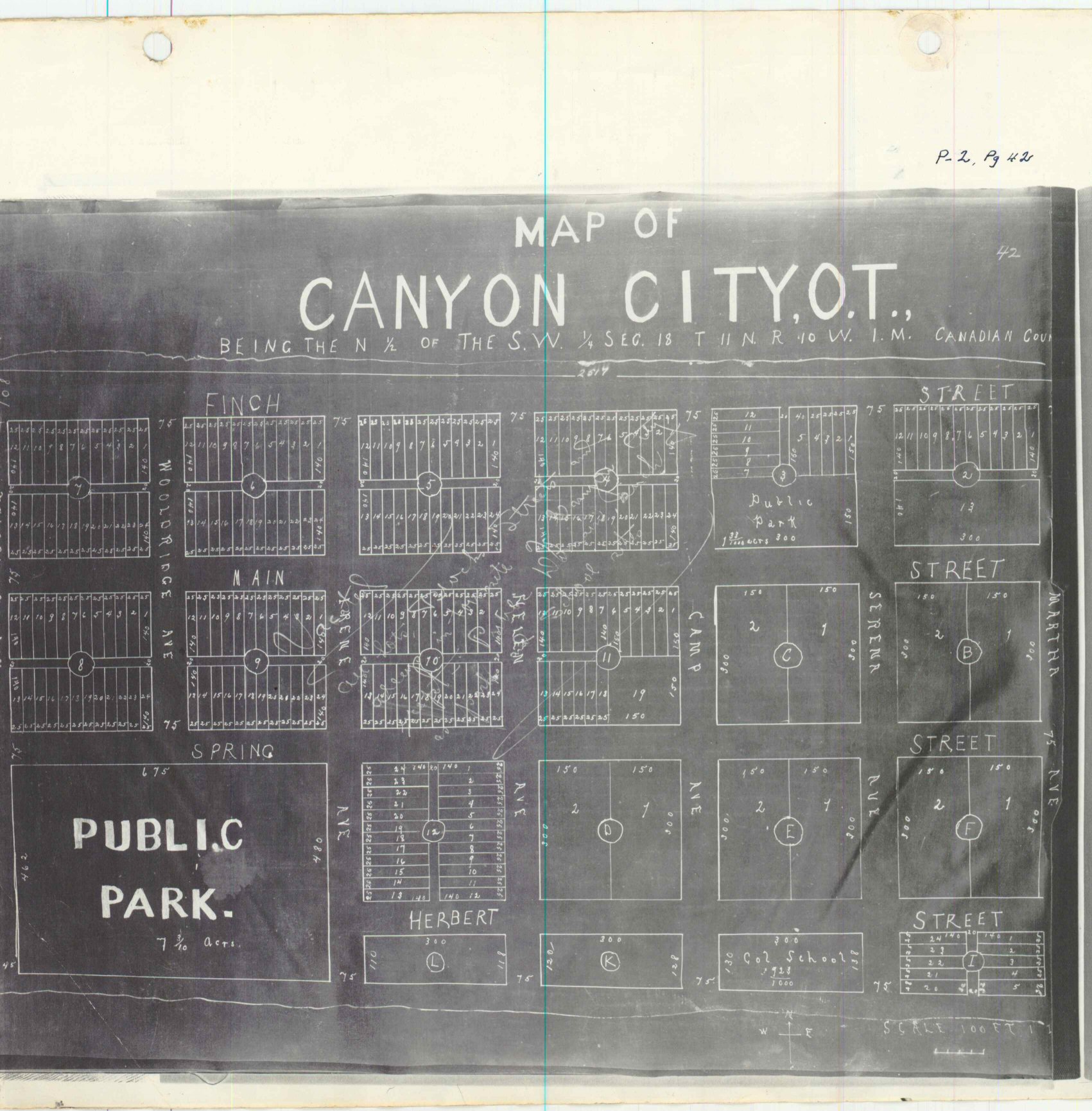
- Canyon City Map 1.jpg
- Canyon City Map 2.jpg
- Canyon City OT Part 1.jpg
- Canyon City OT Part 2.jpg
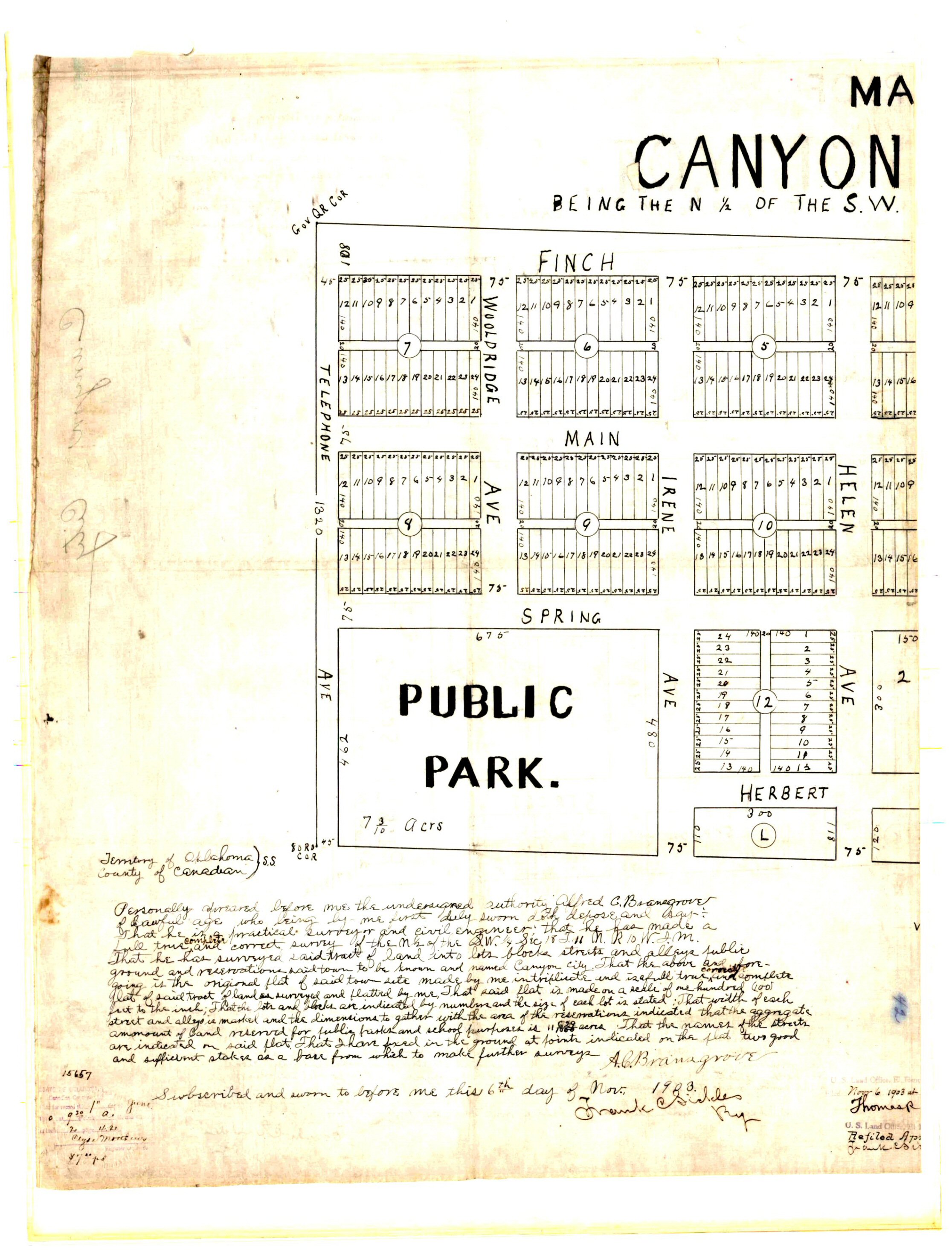
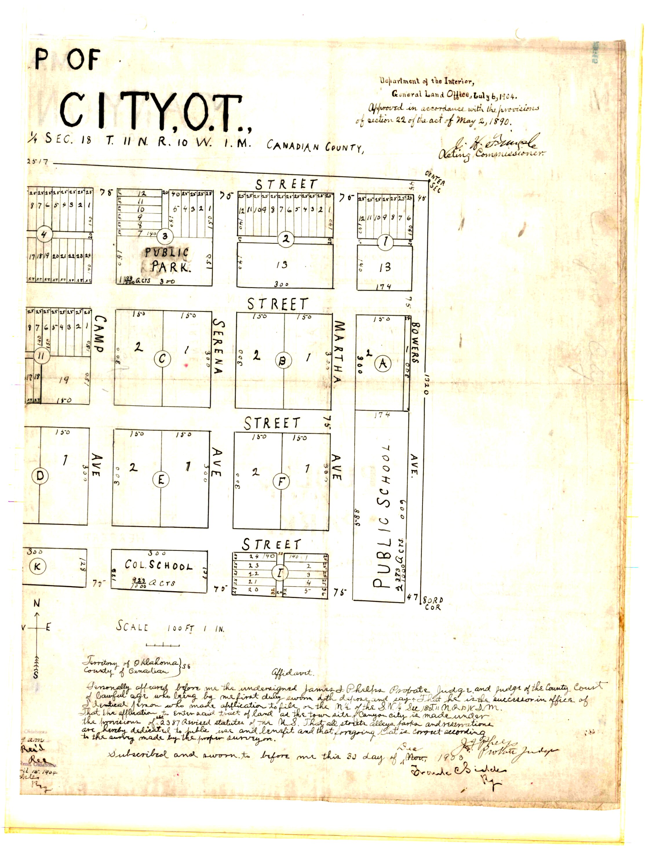
- Canyon City OT.jpg
- Canyon Creek Estates Phase 1.tif
- Canyon Creek Estates Phase 2.tif
- Canyon Creek Estates Phase 3.TIF
- Canyon Creek Estates Phase 4.TIF
- Canyon Ridge Estates Section 1.TIF
- Canyons Phase 1.TIF
- Canyons Phase 2.TIF
- Carlisle Crossing.TIF
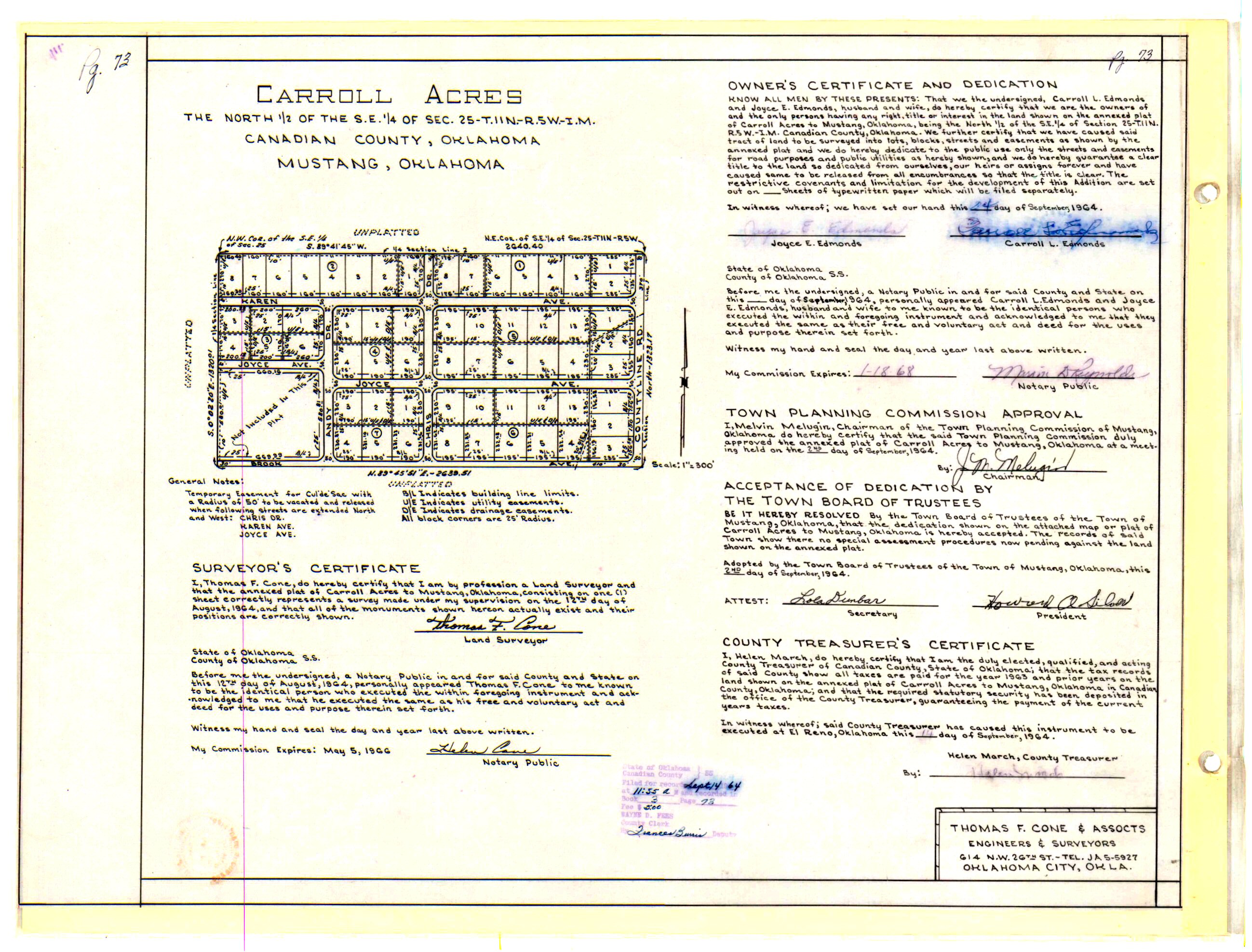
- Carroll Acres.jpg
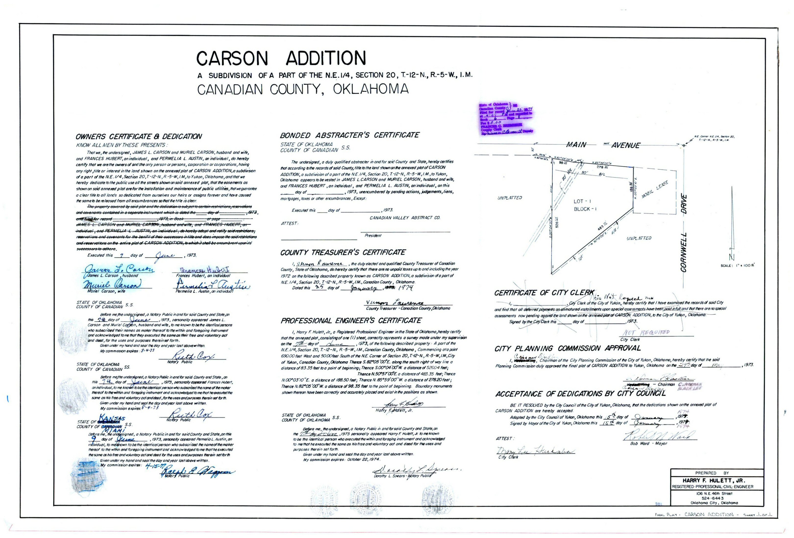
- Carson Addition.jpg
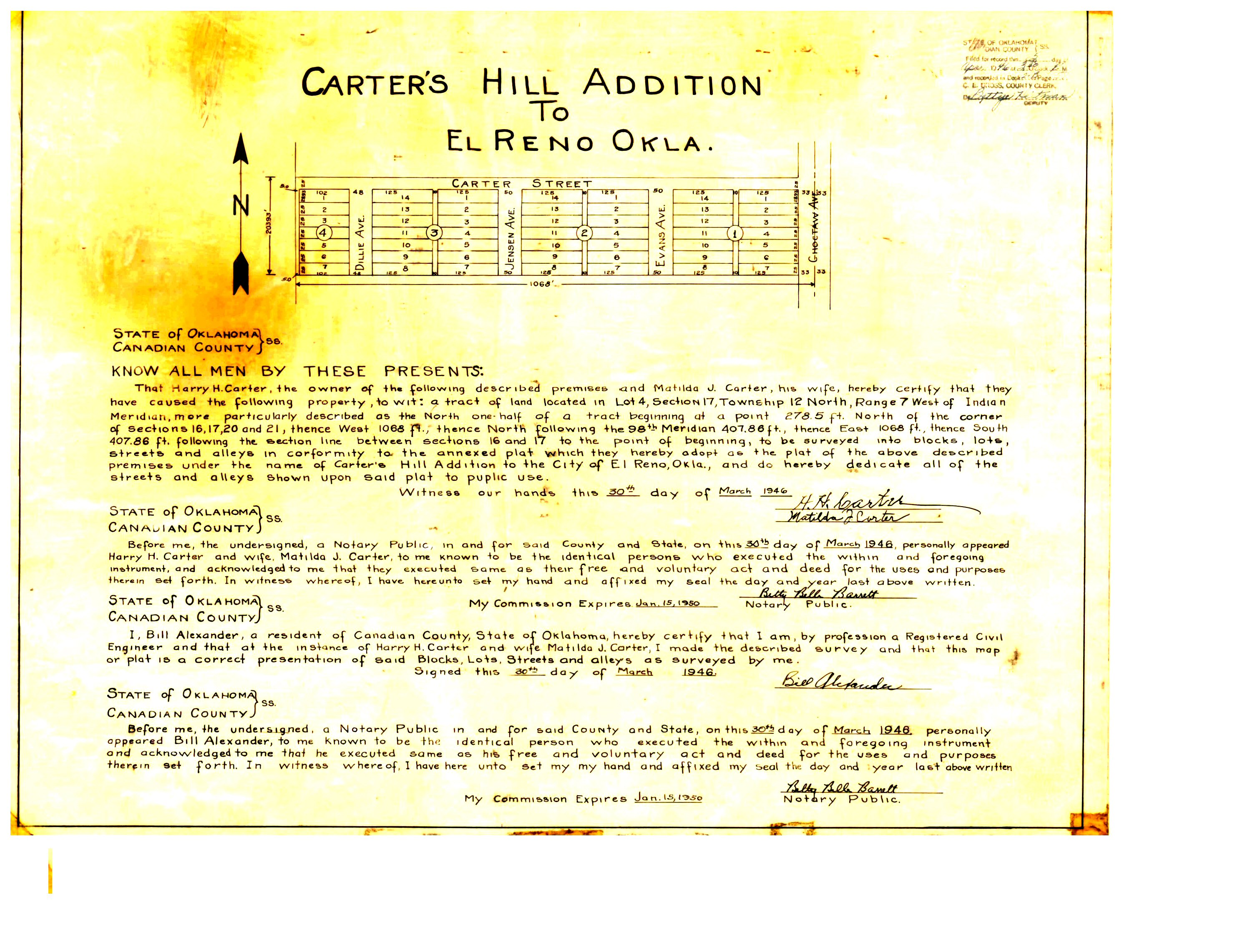
- Carter's Hill Addition.jpg
- Casey's General Store at Morgan - 29 Commercial Center.TIF
- Castle Rock Addition Section 1.TIF
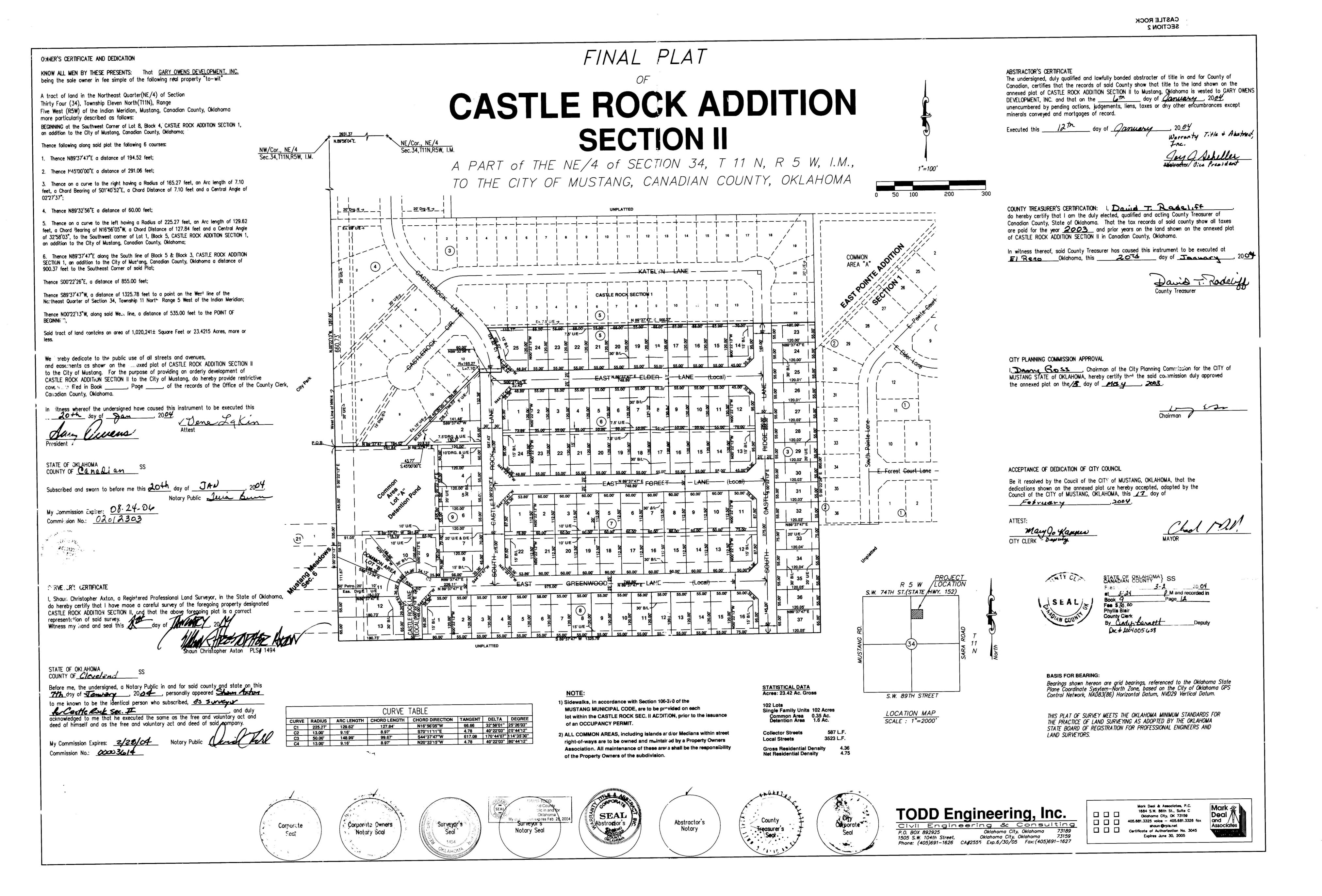
- Castle Rock Addition Section 2.jpg
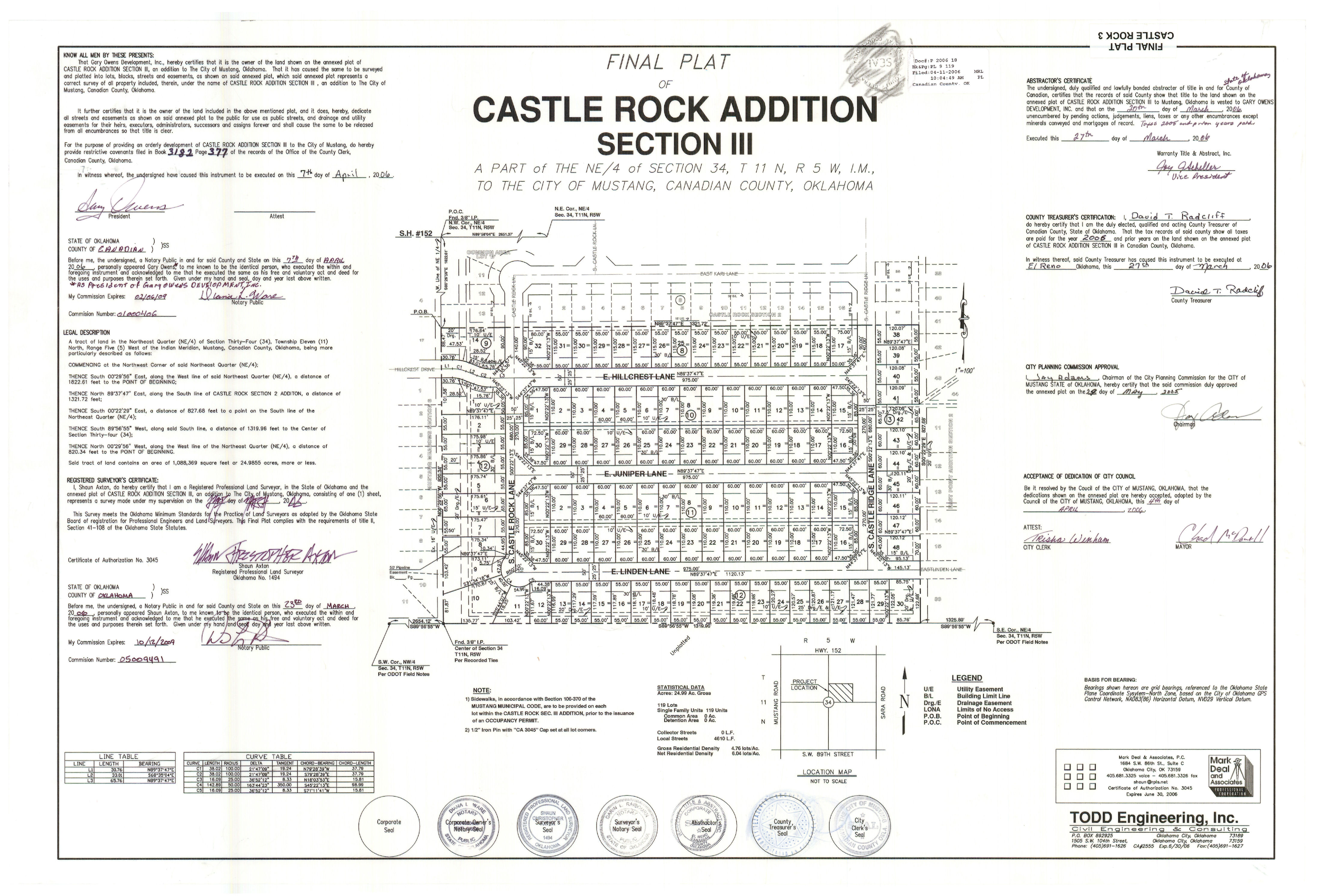
- Castle Rock Addition Section 3.jpg
- Castlebrook Crossing 1st Addition.Tif
- Castlebrook Crossing 2nd Addition.tif
- Castlebrook Crossing 3rd Addition.TIF
- Castlebrook Crossing 4th Addition.TIF
- Castlebrook Crossing 5th Addition.TIF
- Castlewood Trails Addition Section 1.tif
- Castlewood Trails Addition Section 2.TIF
- Castlewood Trails Addition Section 3.TIF
- Castlewood Trails Addition Section 4.TIF
- Castlewood Trails Addition Section 5.TIF
- Castlewood Trails Addition Section 6.TIF
- Castlewood Trails Addition Section 7.TIF
- Castlewood Trails Addition Section 8.TIF
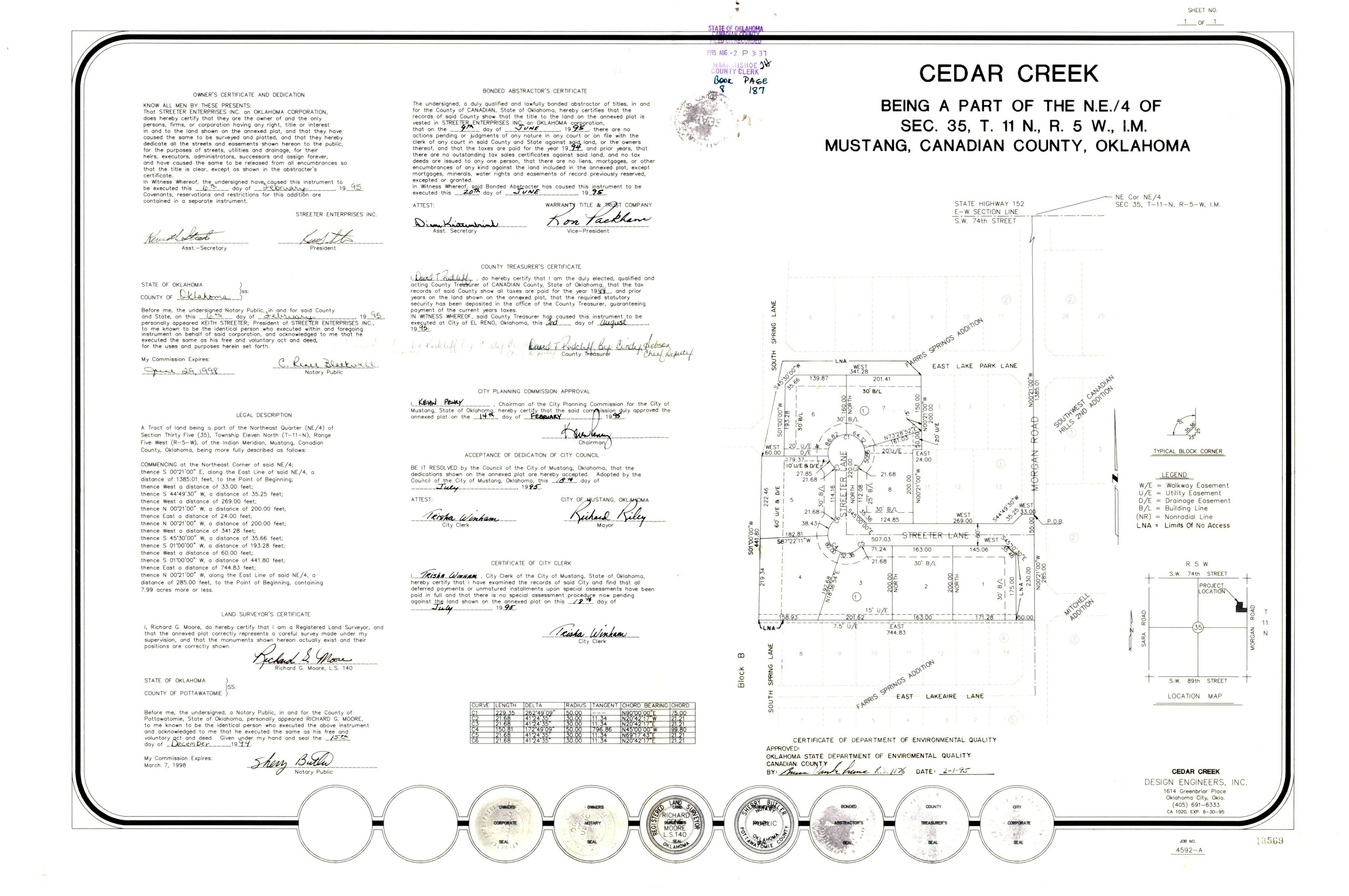
- Cedar Creek.jpg
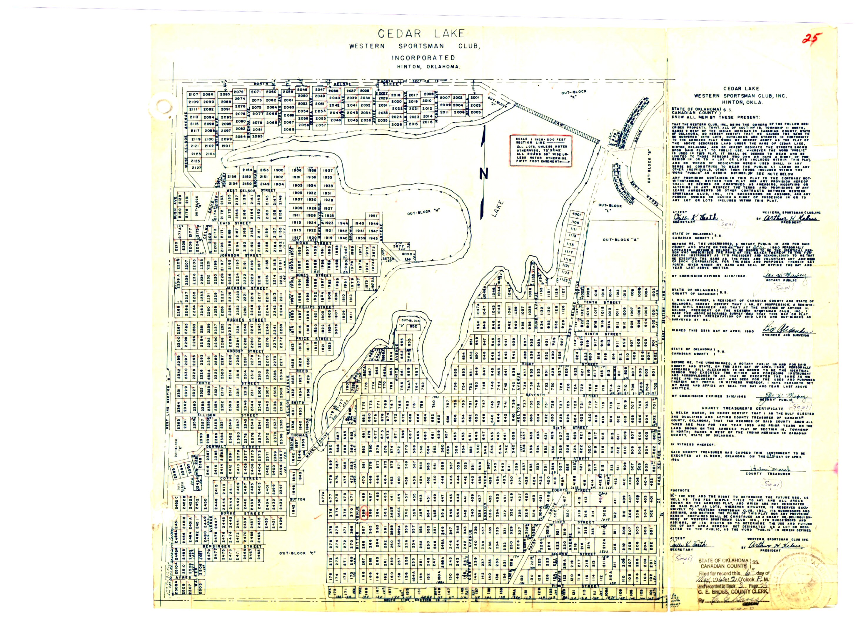
- Cedar Lake Map 1.jpg
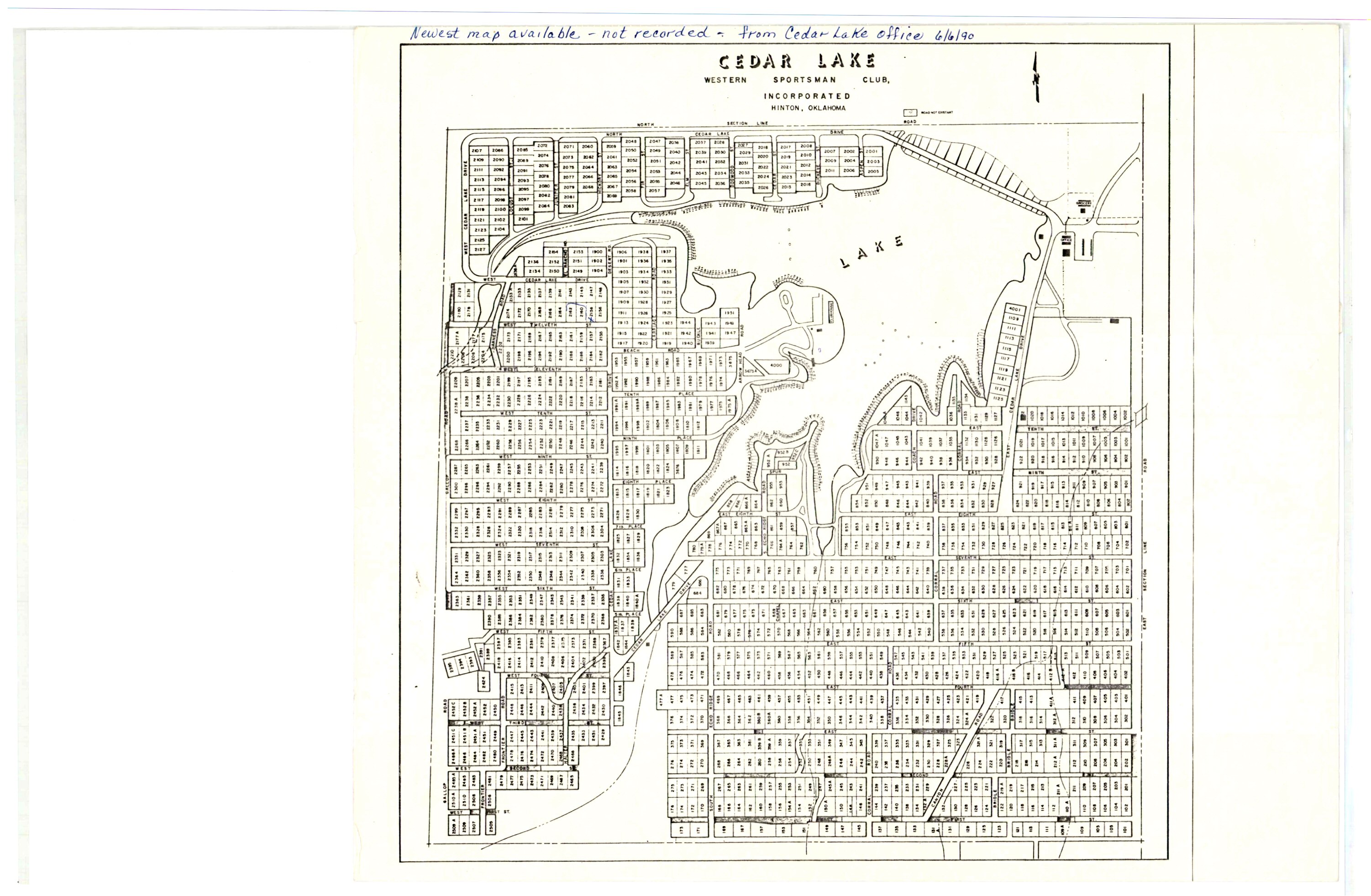
- Cedar Lake Map 2.jpg
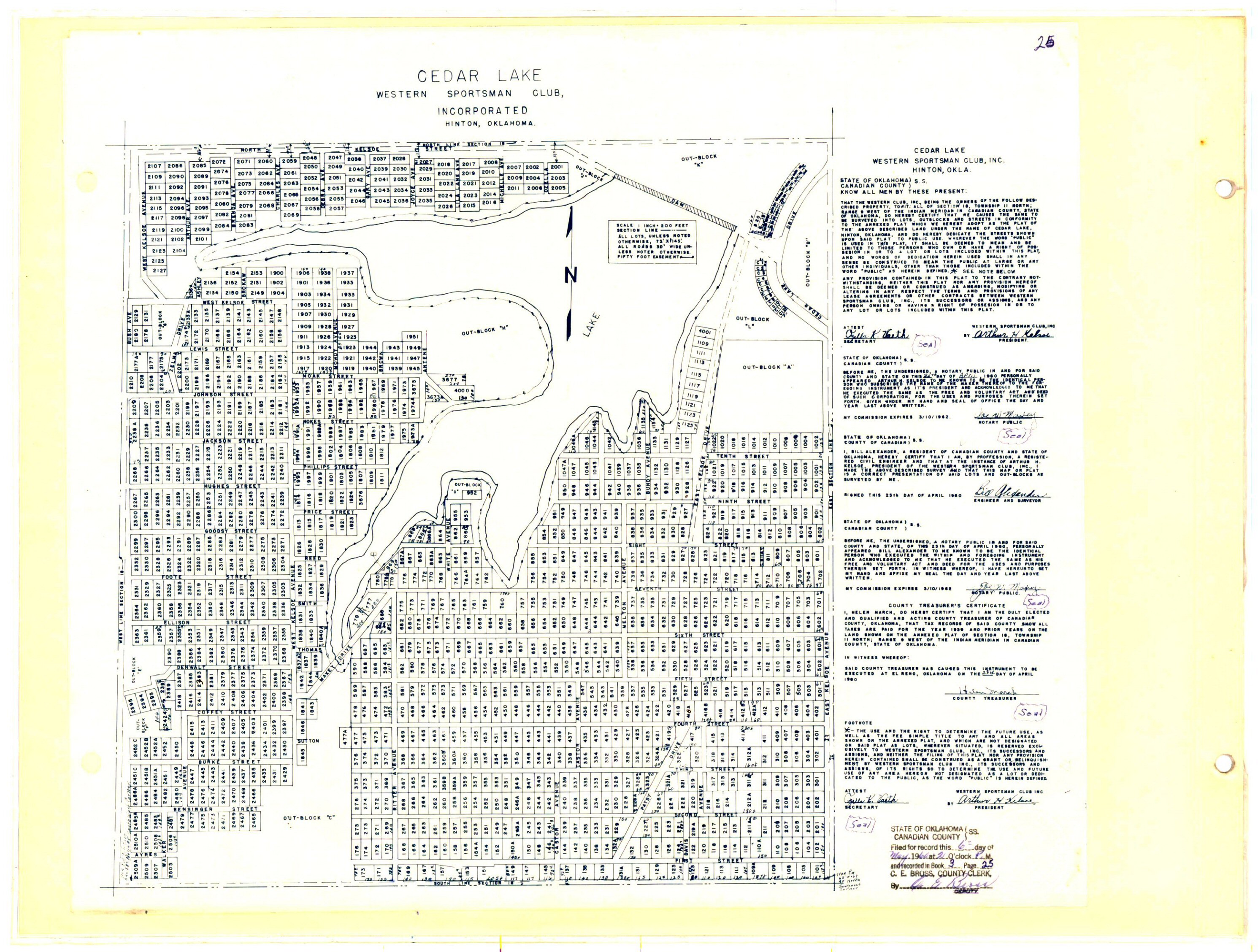
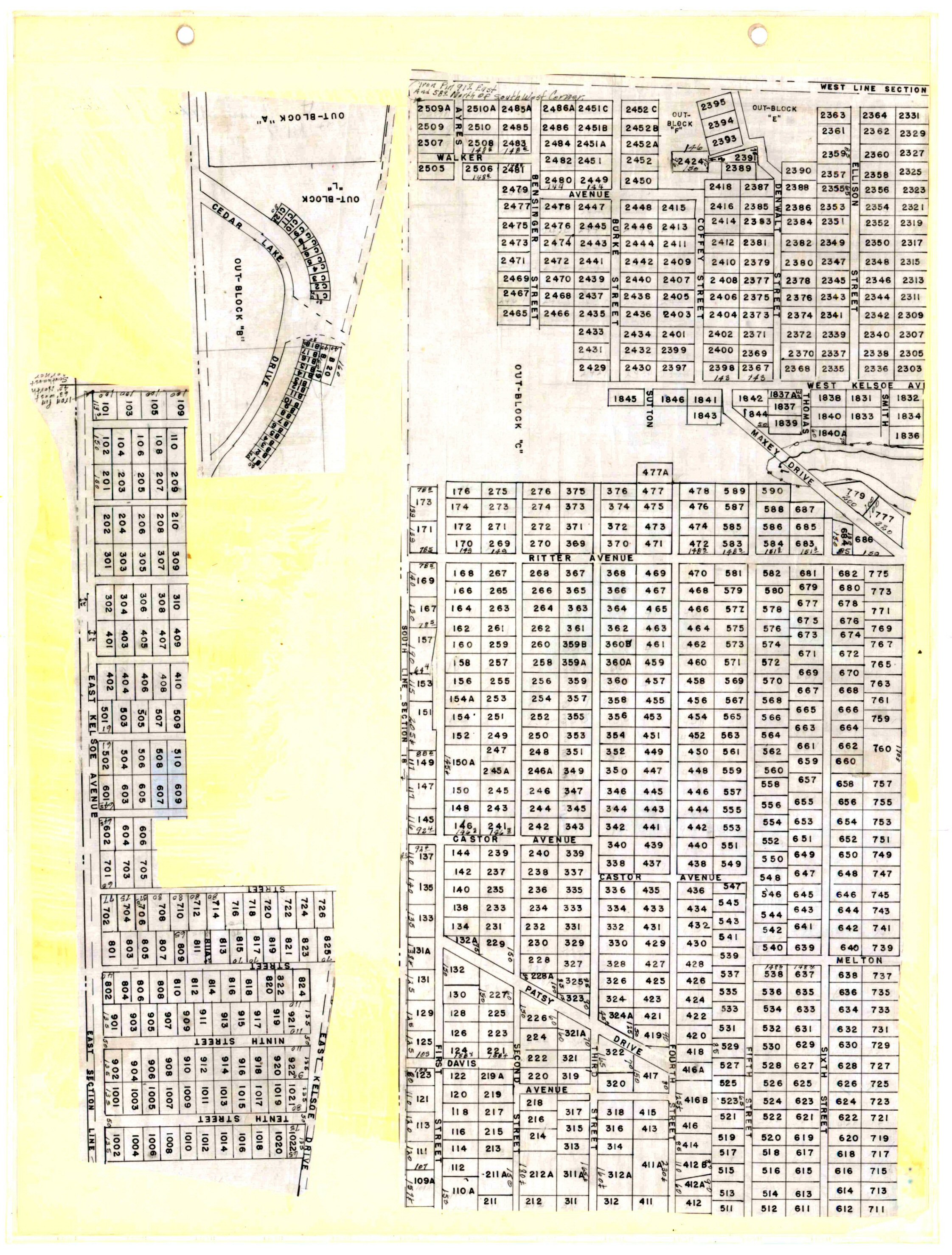
- Cedar Lake Map A.jpg
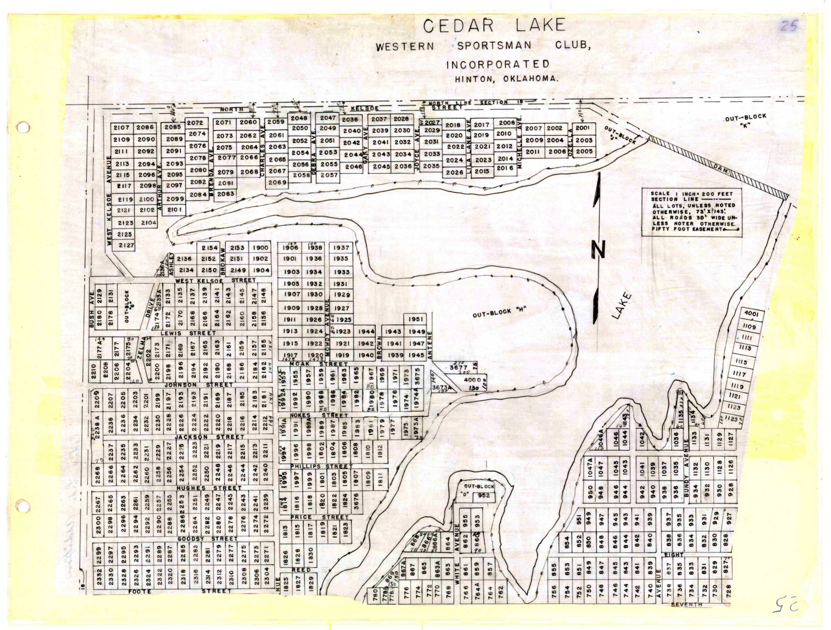
- Cedar Lake Map B.jpg
- Cedar Lake Map C.jpg
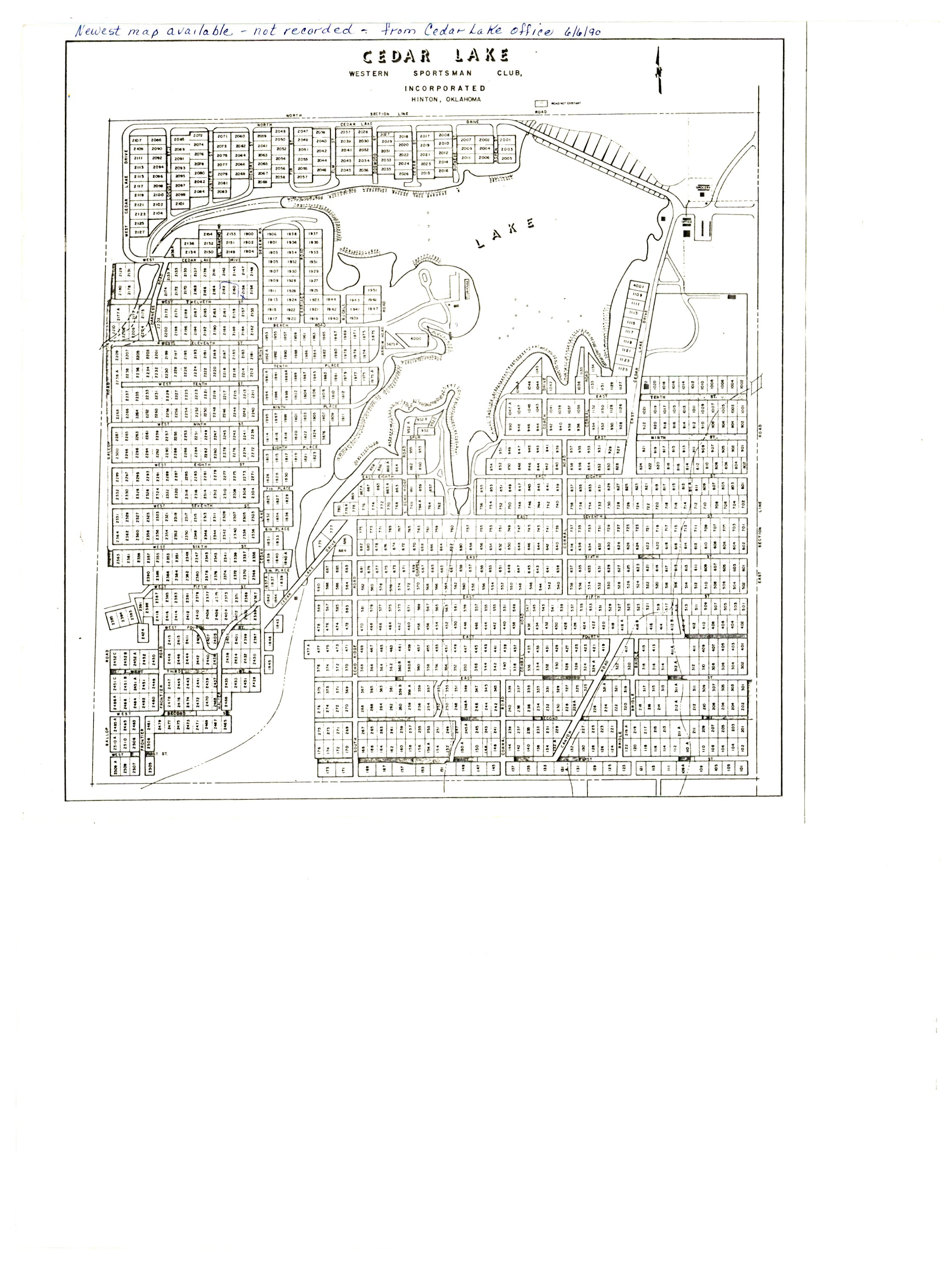
- Cedar Lake.jpg
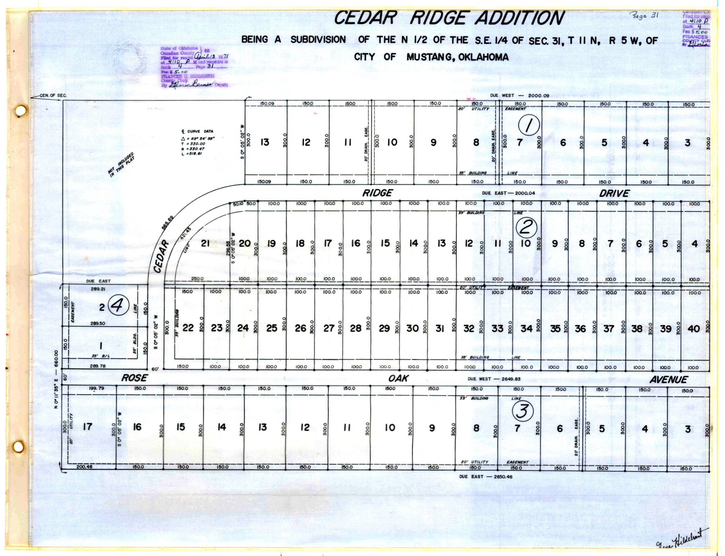
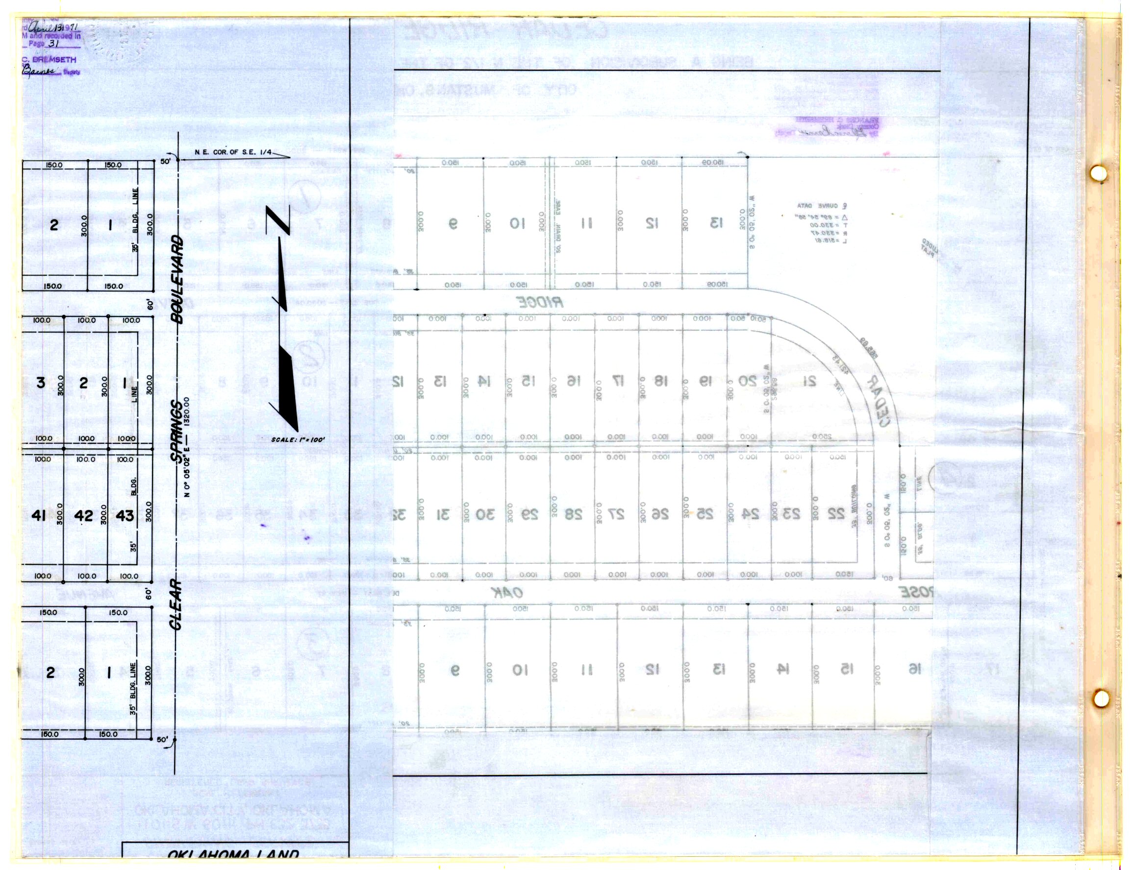
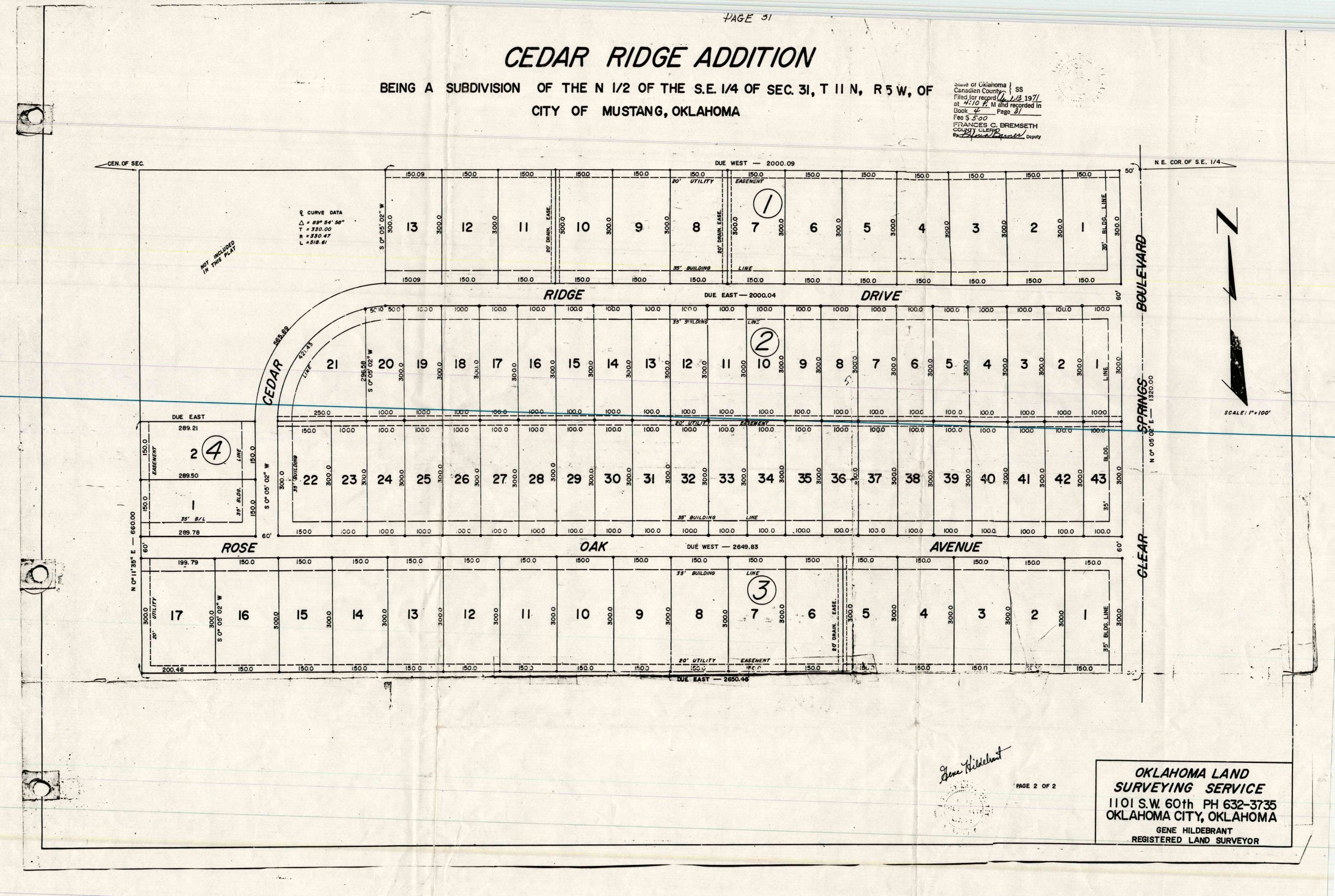
- Cedar Ridge Addition Part 1.jpg
- Cedar Ridge Addition Part 2.jpg
- Cedar Ridge Addition.jpg
- Cedar Ridge at Morgan Creek Section 2.tif
- Cedar Ridge at Morgan Creek Section 3.TIF
- Cedar Ridge at Morgan Creek Section 4.TIF
- Cedar Ridge At Morgan Creek.tif
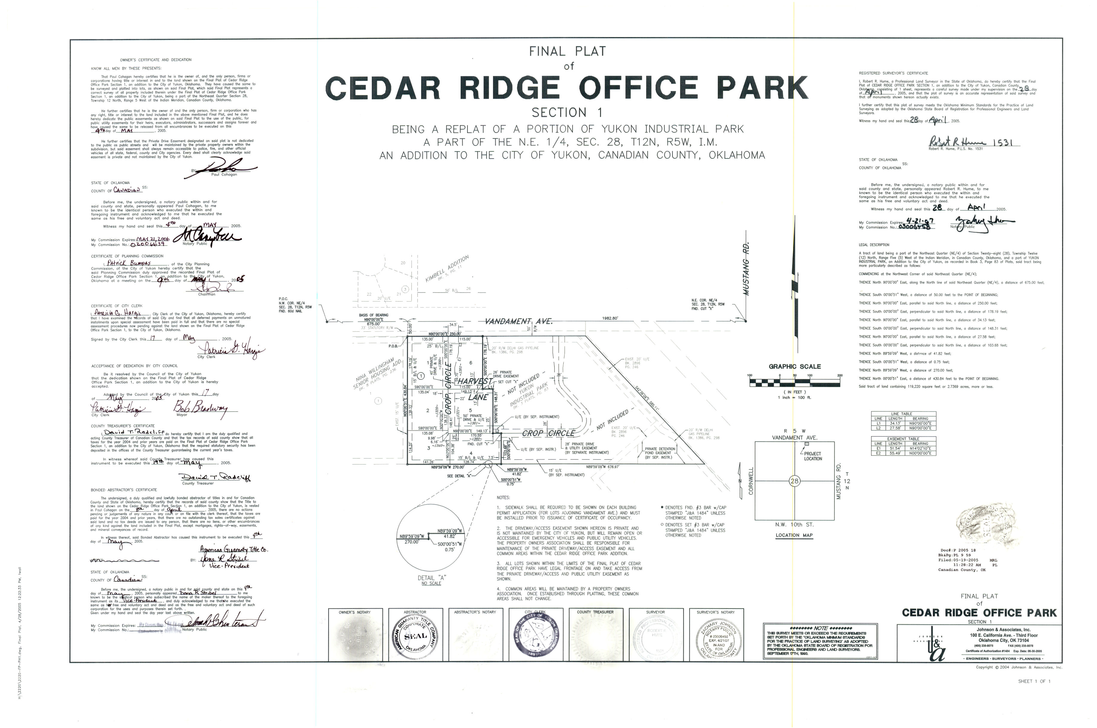
- Cedar Ridge Office Park Section 1.jpg
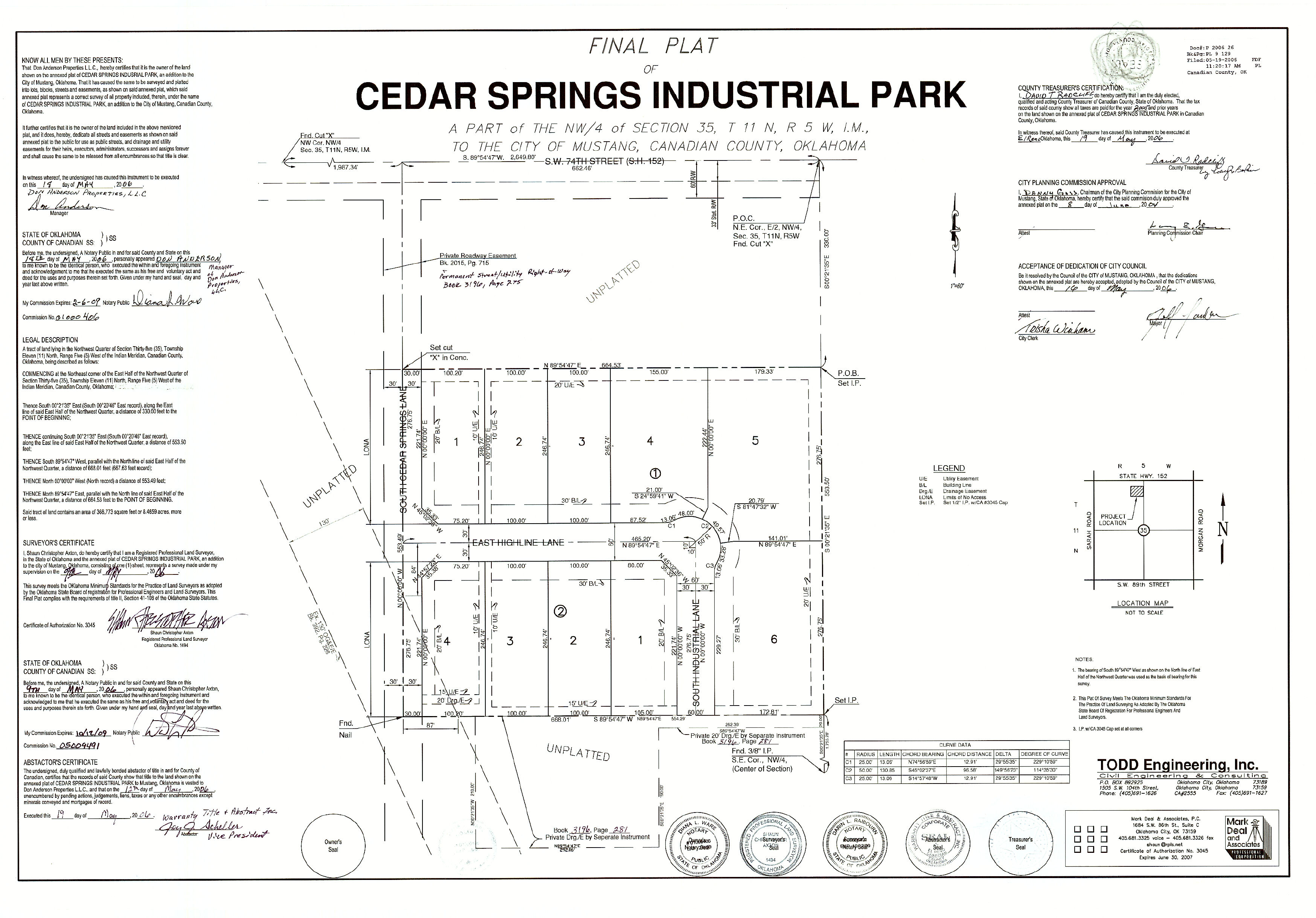
- Cedar Springs Industrial Park.jpg
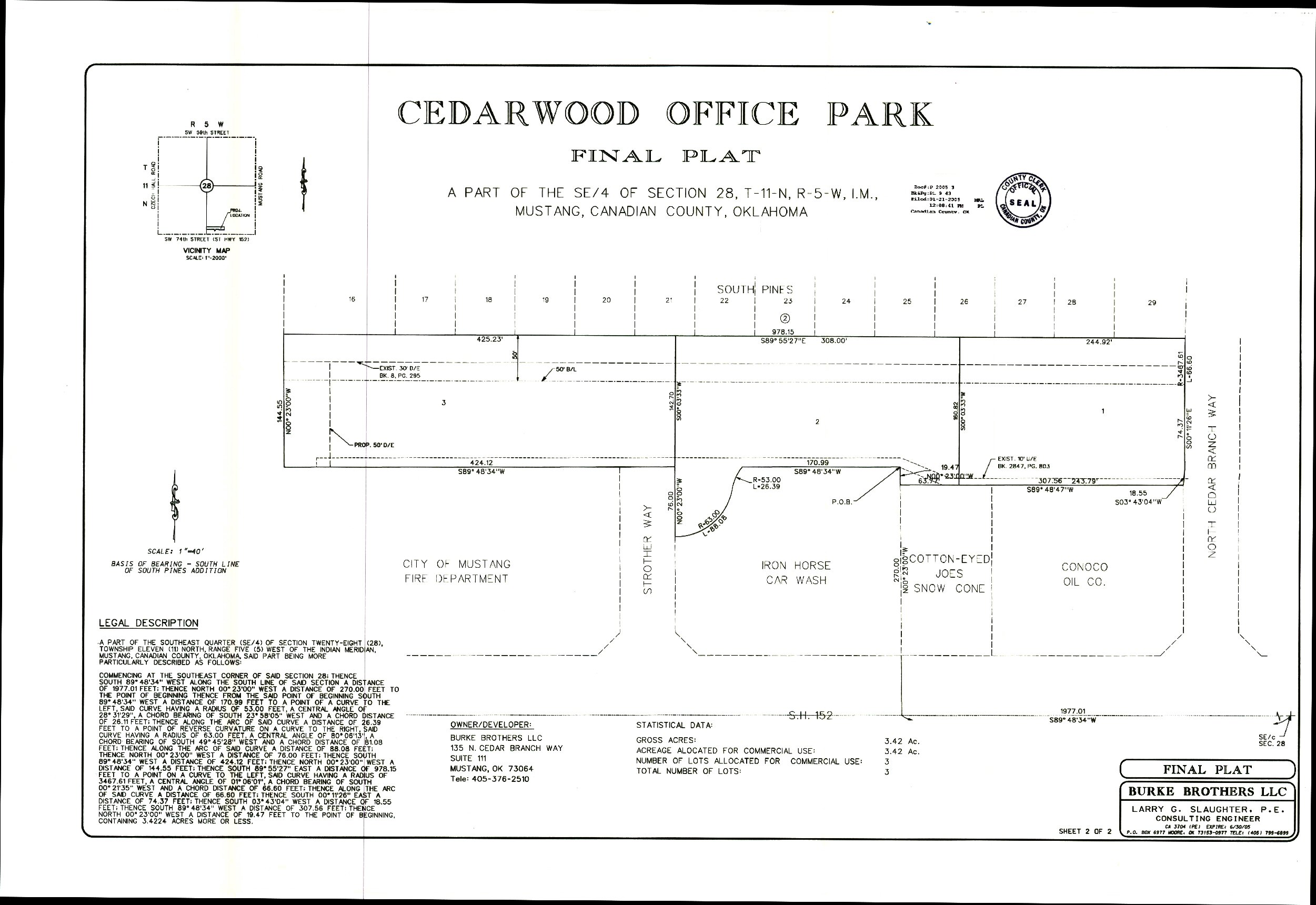
- Cedarwood Office Park.jpg
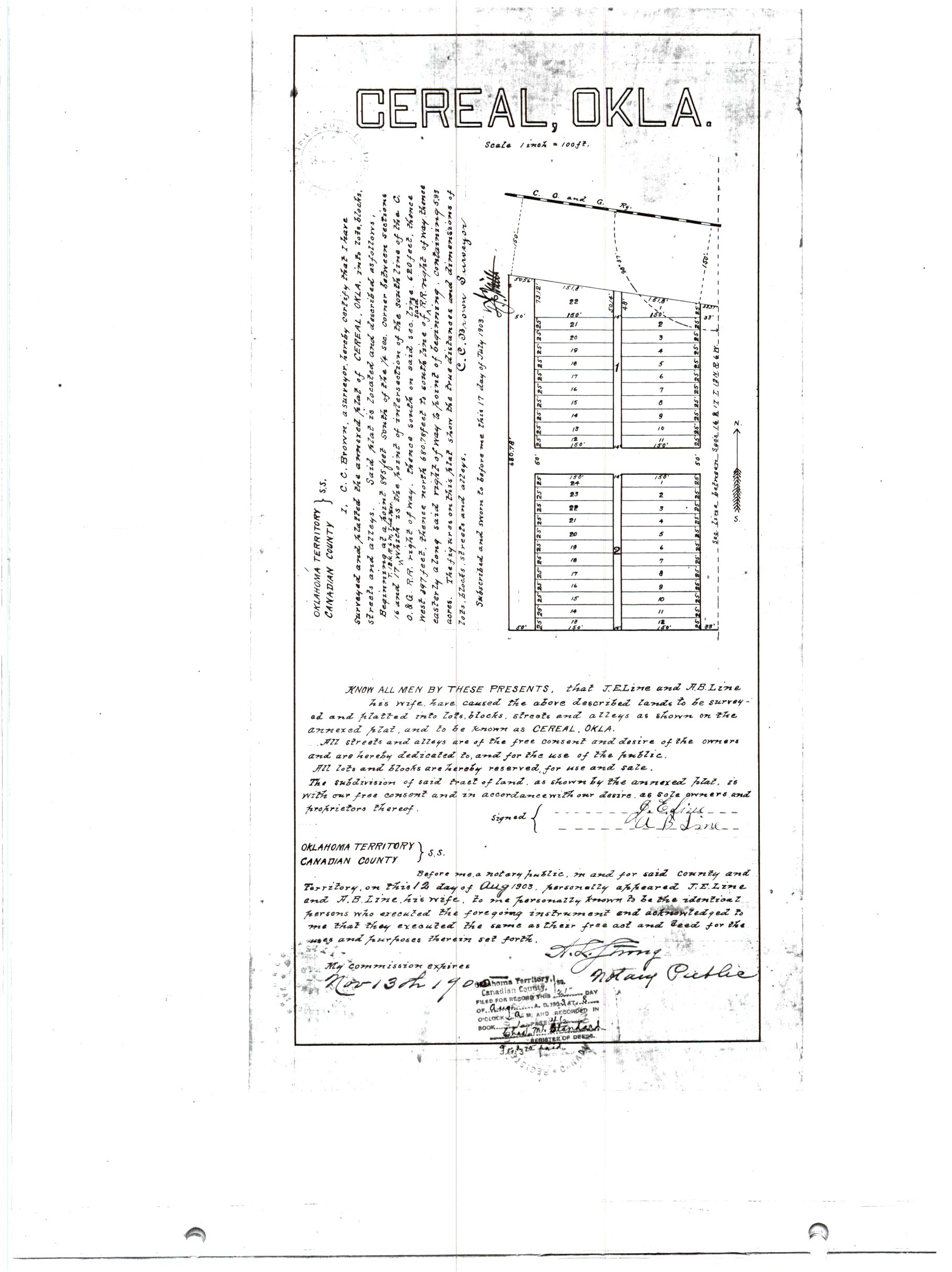
- Cereal, OK.jpg
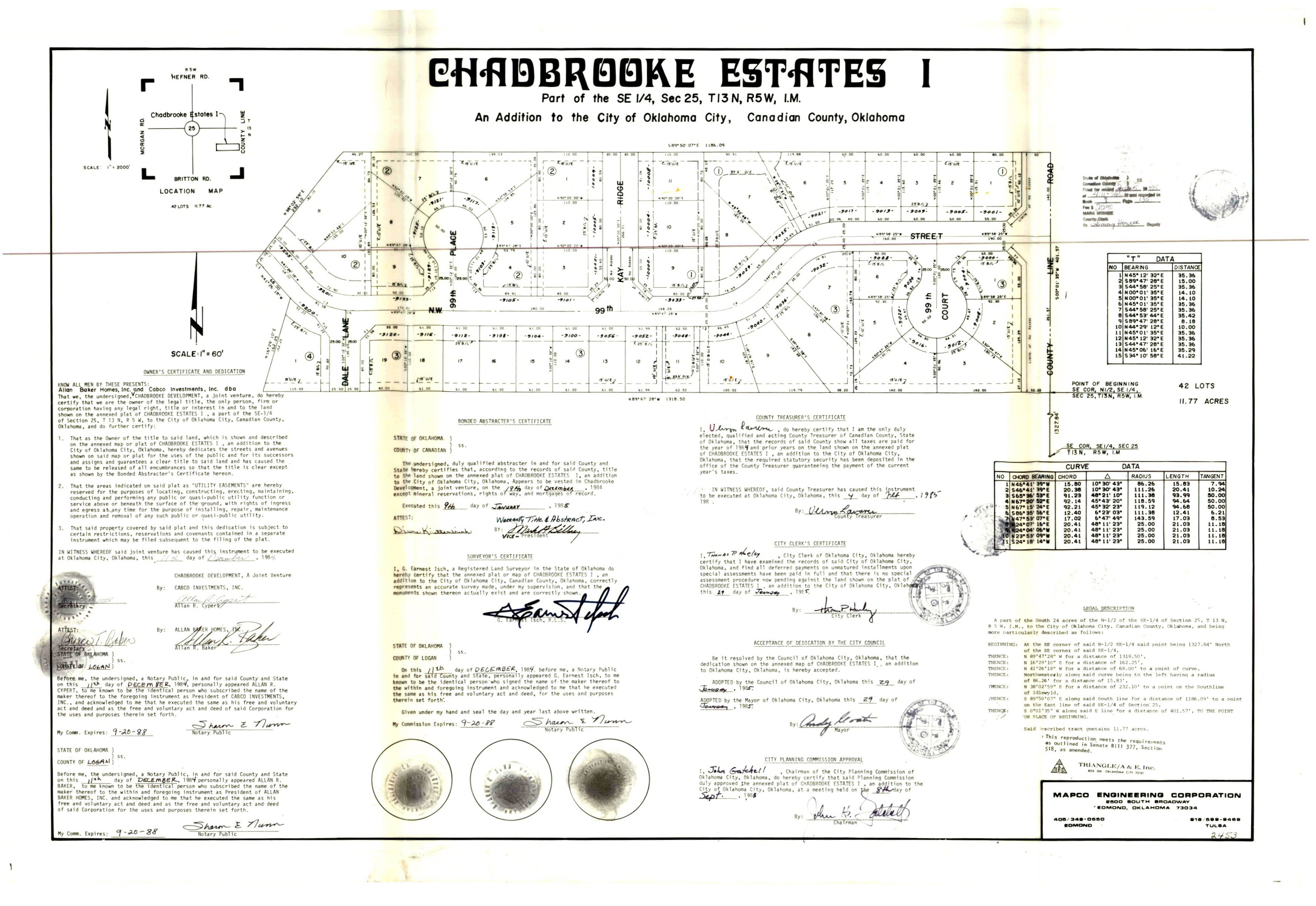
- Chadbrooke Estates 1.jpg
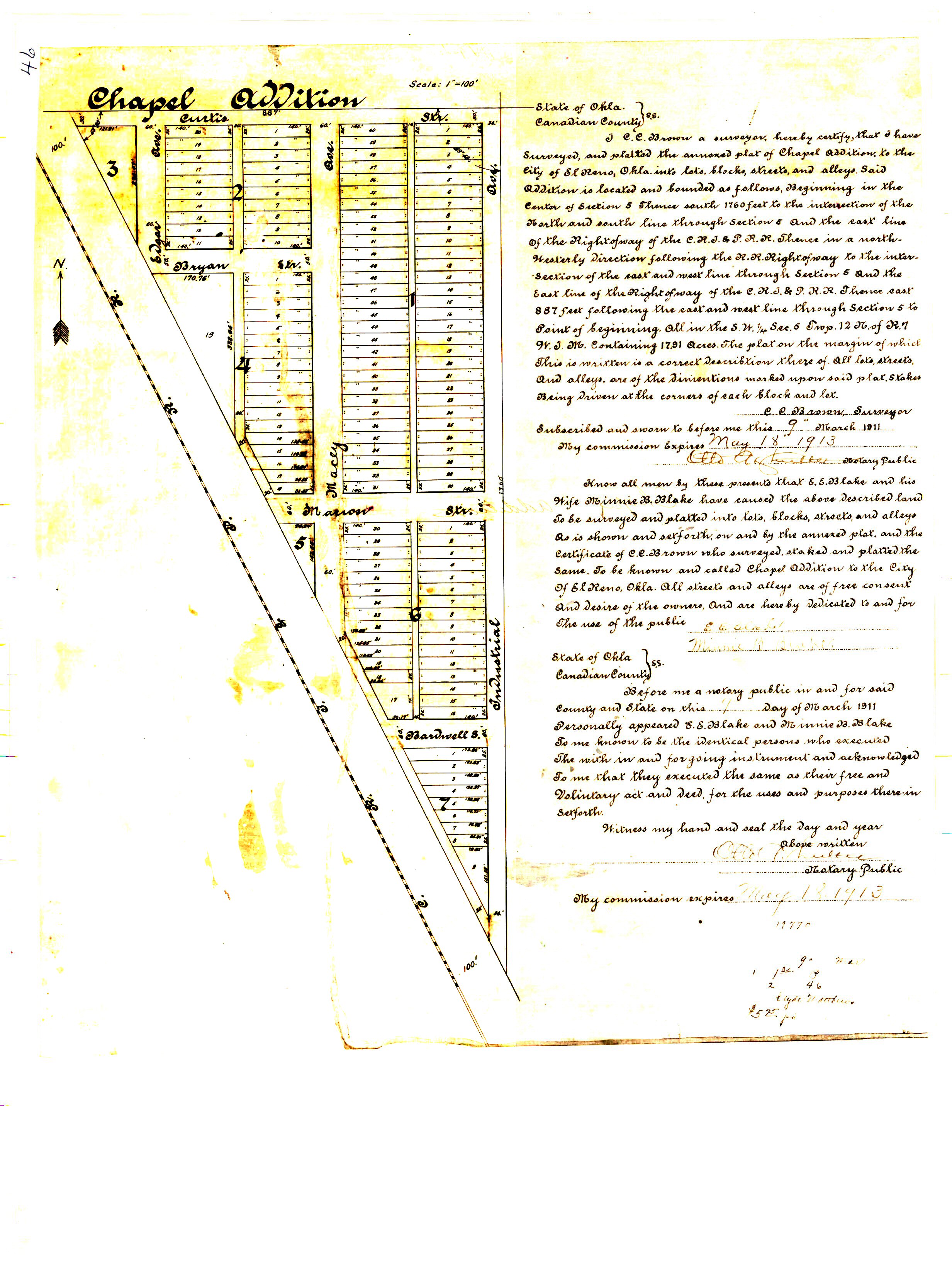
- Chapel Addition.jpg
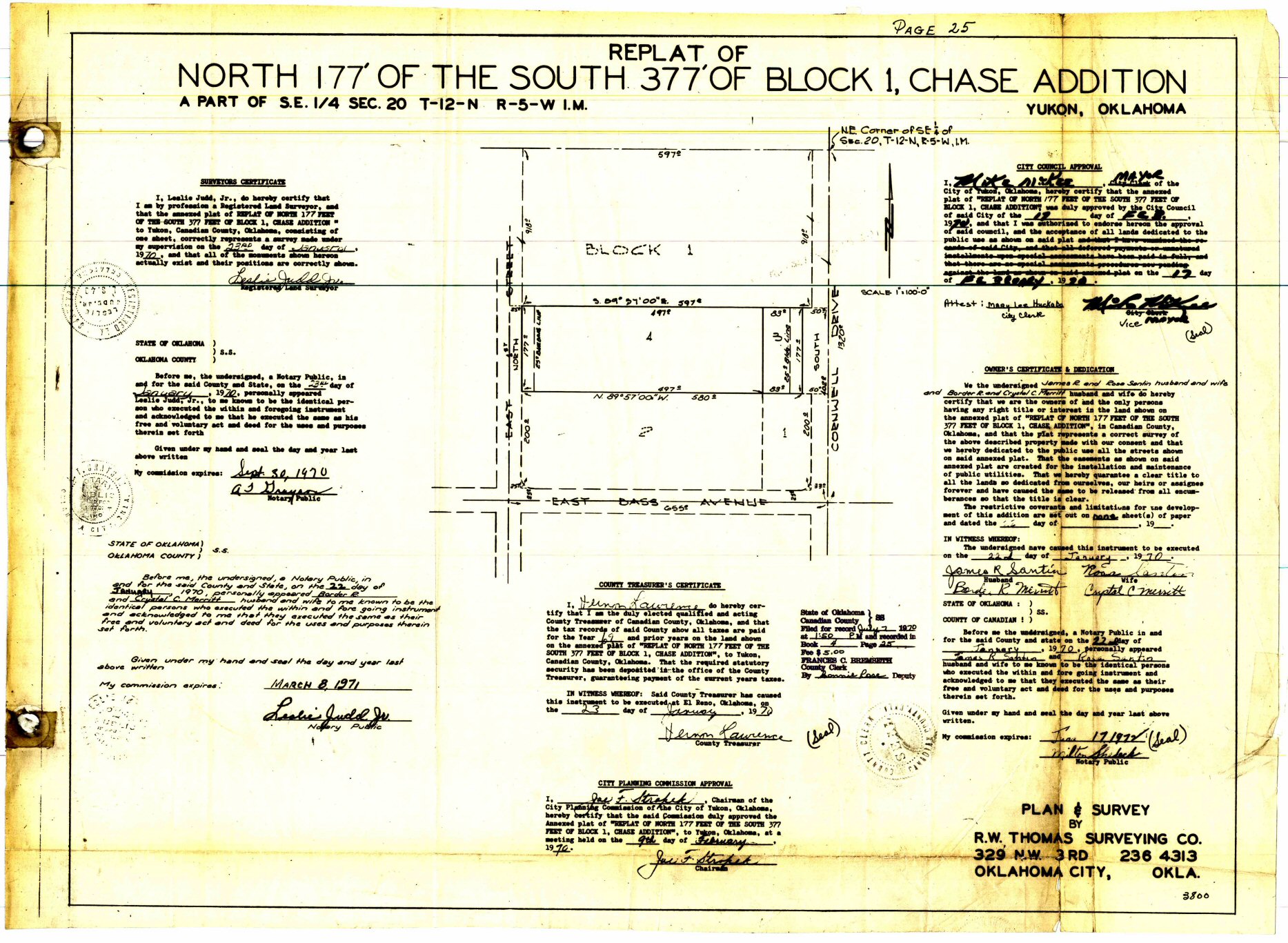
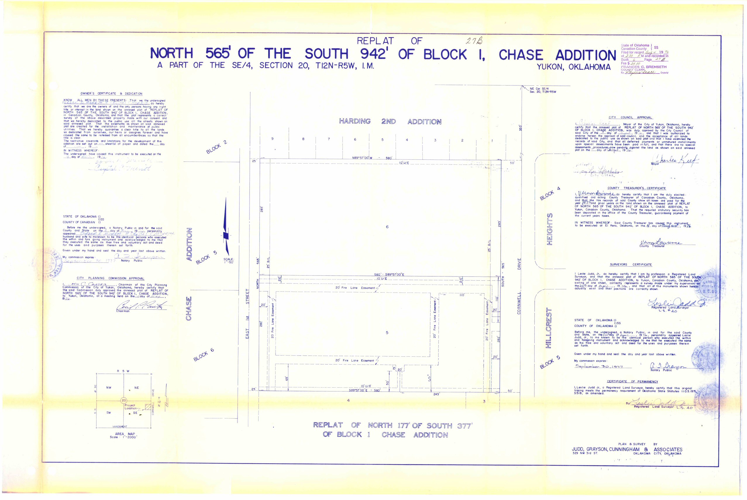
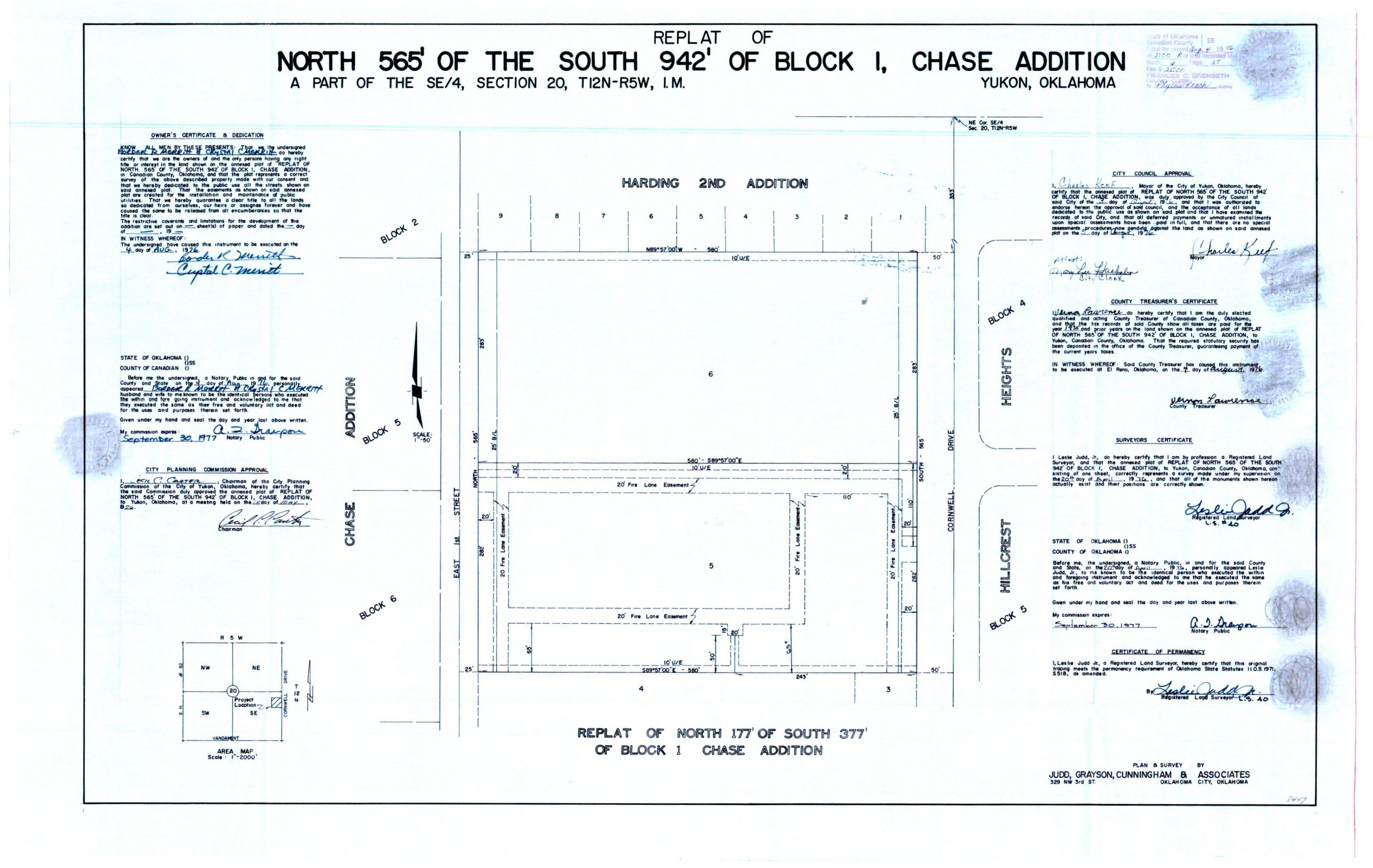
- Chase Addition Block 1 Replat.jpg
- Chase Addition Block 1.jpg
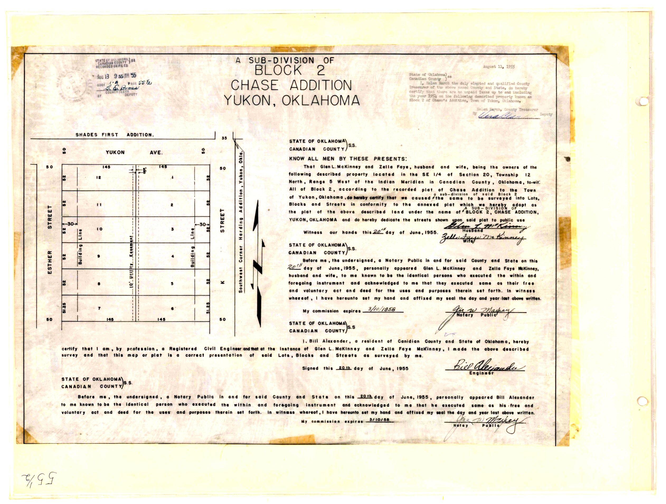
- Chase Addition Block 2.jpg
- Chase Addition Block 8 & 9.jpg
- chase addition replat block 1 cond.jpg
- Chase Addition Replat of the South Half of Block 7.TIF
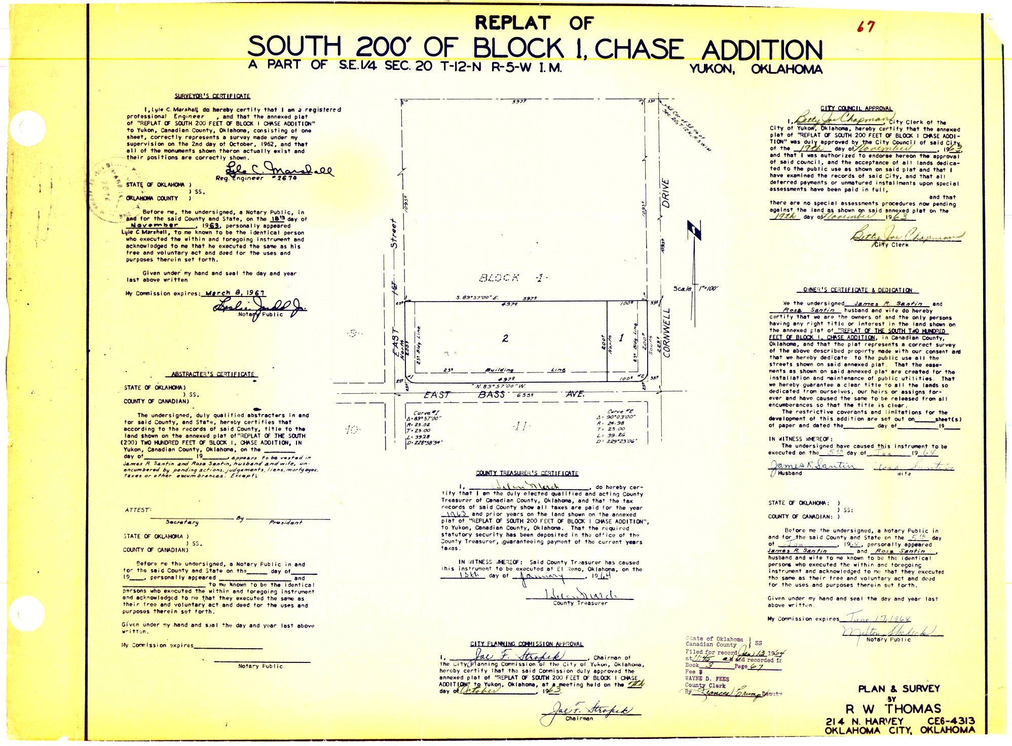
- chase addition south 200' block 1 cond.JPG
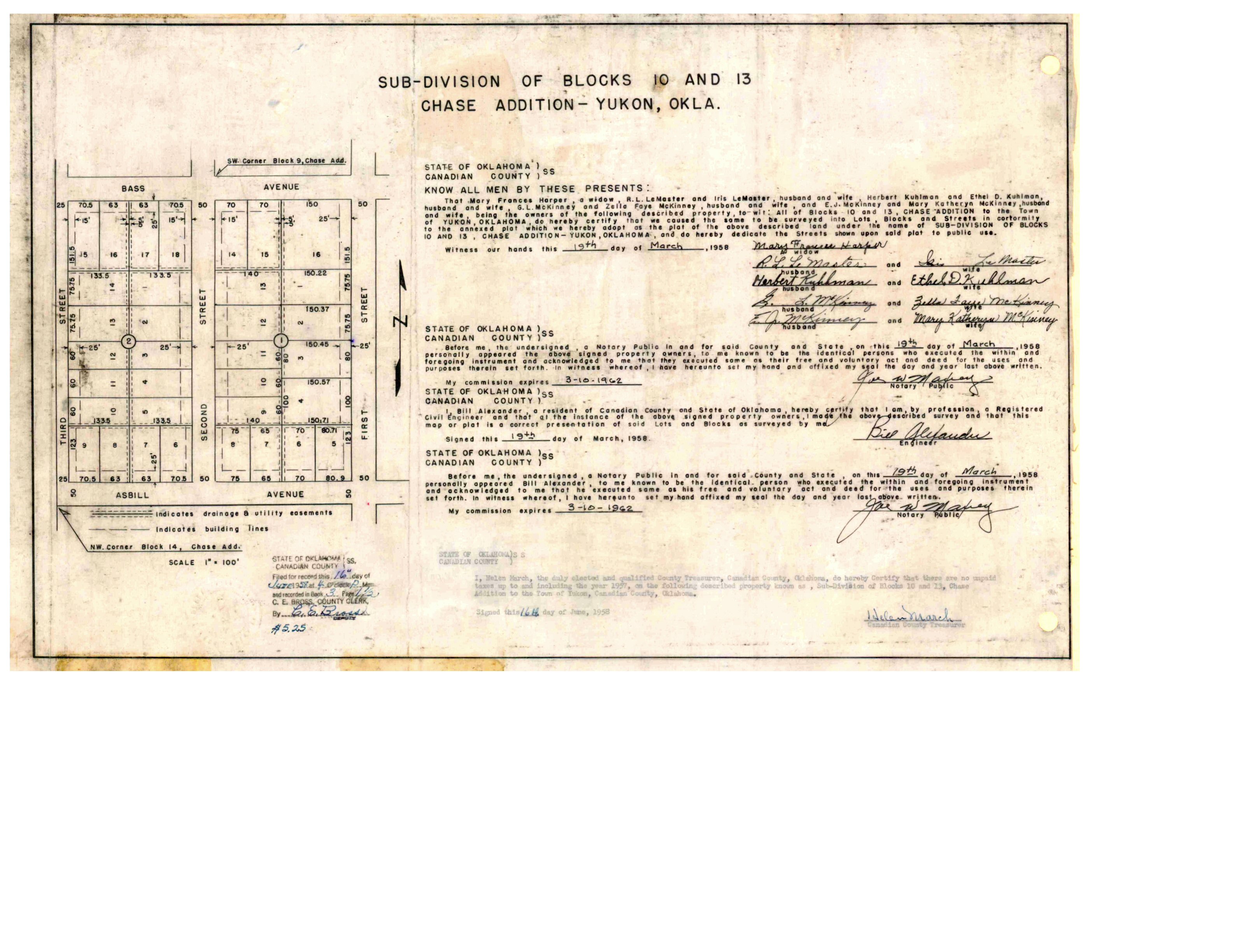
- chase addition subdivision of blocks 10 and 13 cond.jpg
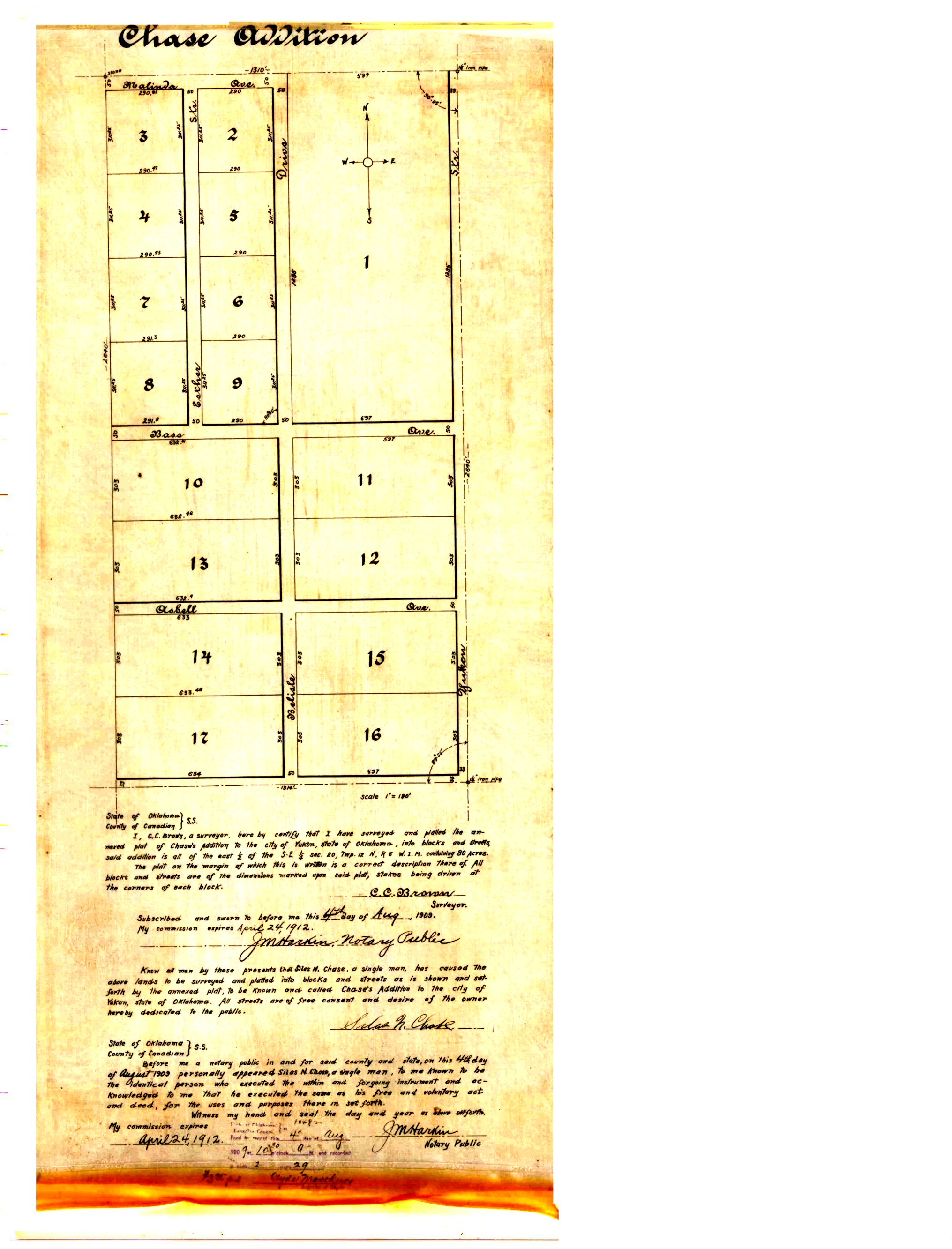
- Chase Addition.jpg
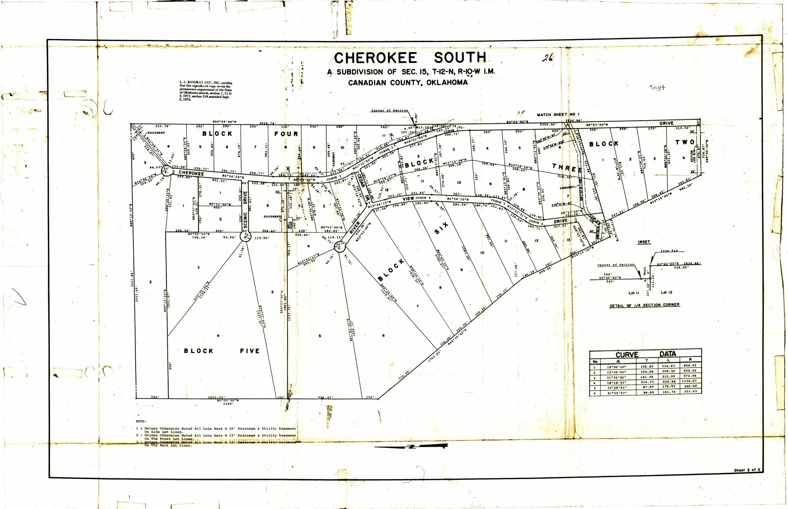
- Cherokee South Map 2.jpg
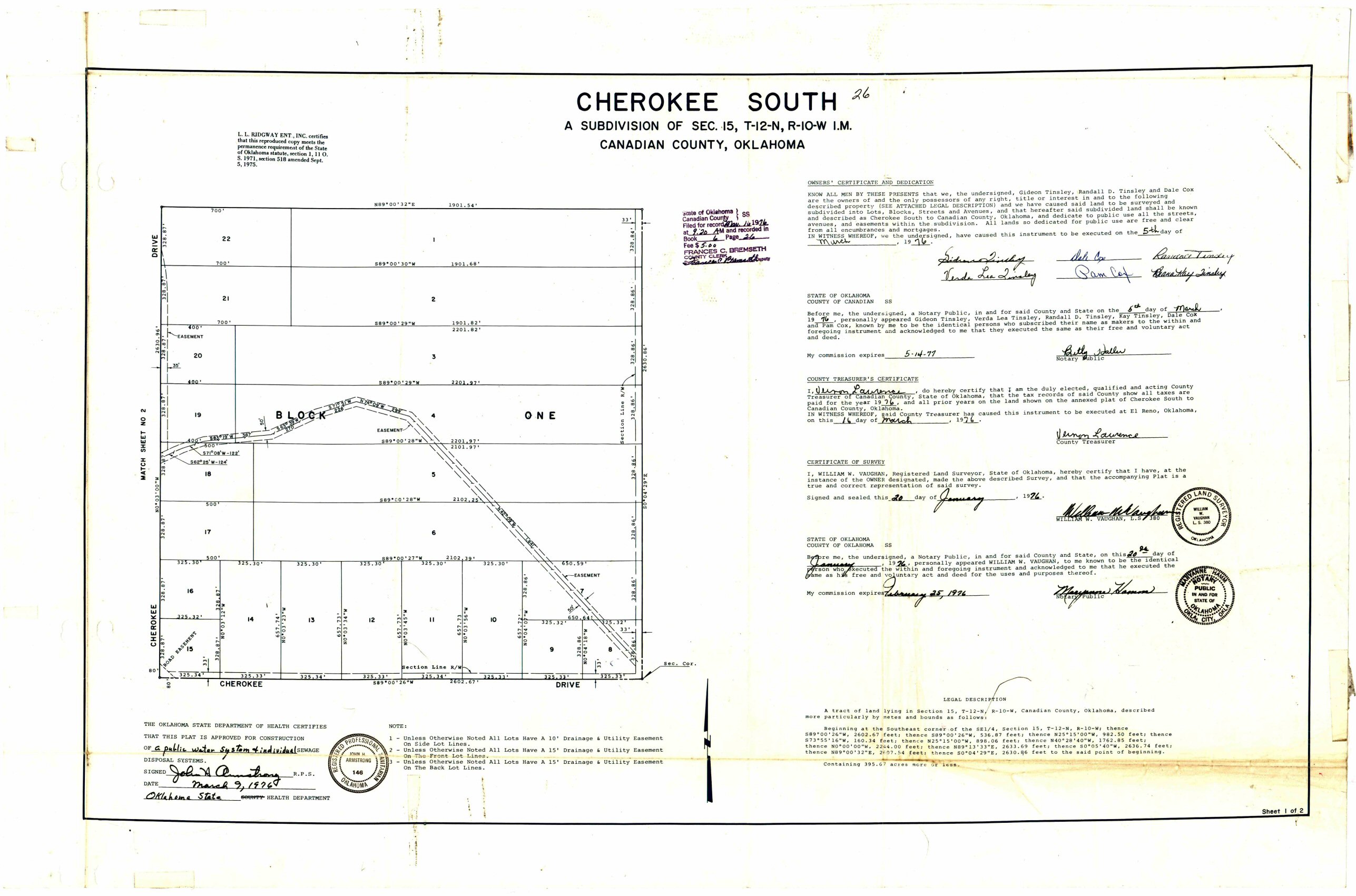
- Cherokee South.jpg
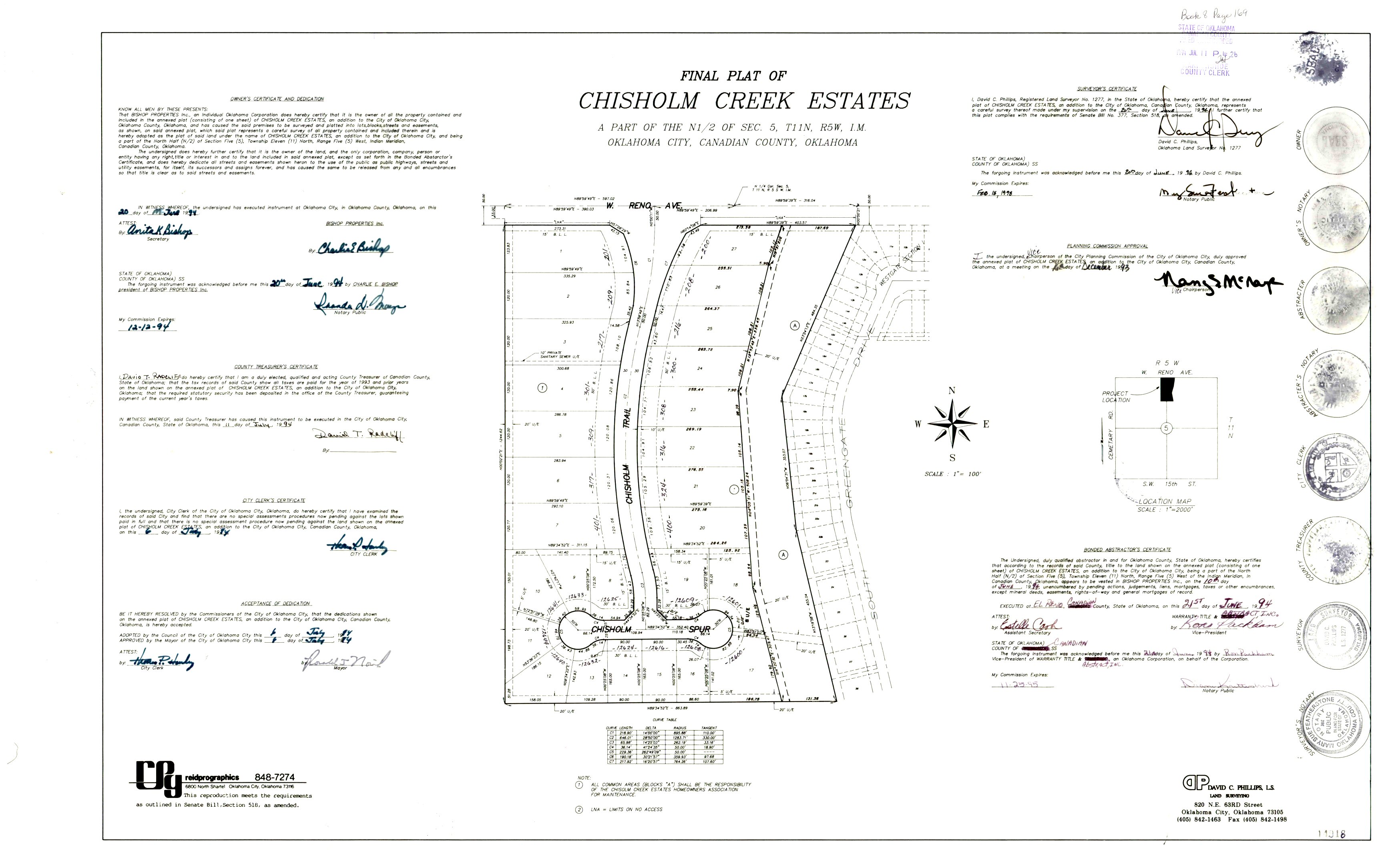
- Chisholm Creek Estates.jpg
- Chisholm Crossing Addition Section 1.tif
- Chisholm Crossing Addition Section III.TIF
- Chisholm Crossing Addition Sectoin II.TIF
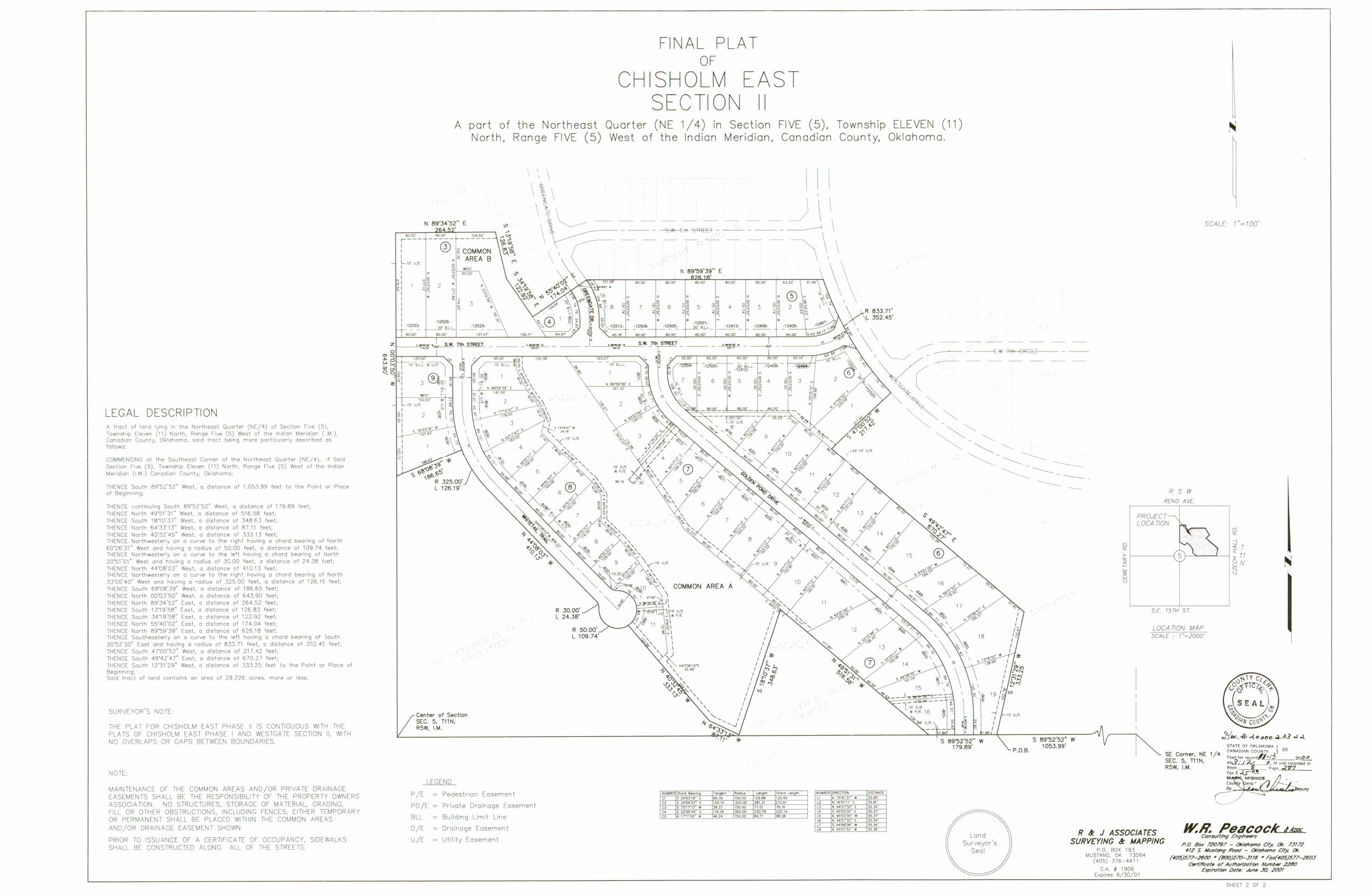
- Chisholm East Section 2.jpg
- Chisholm East Section 3.tif
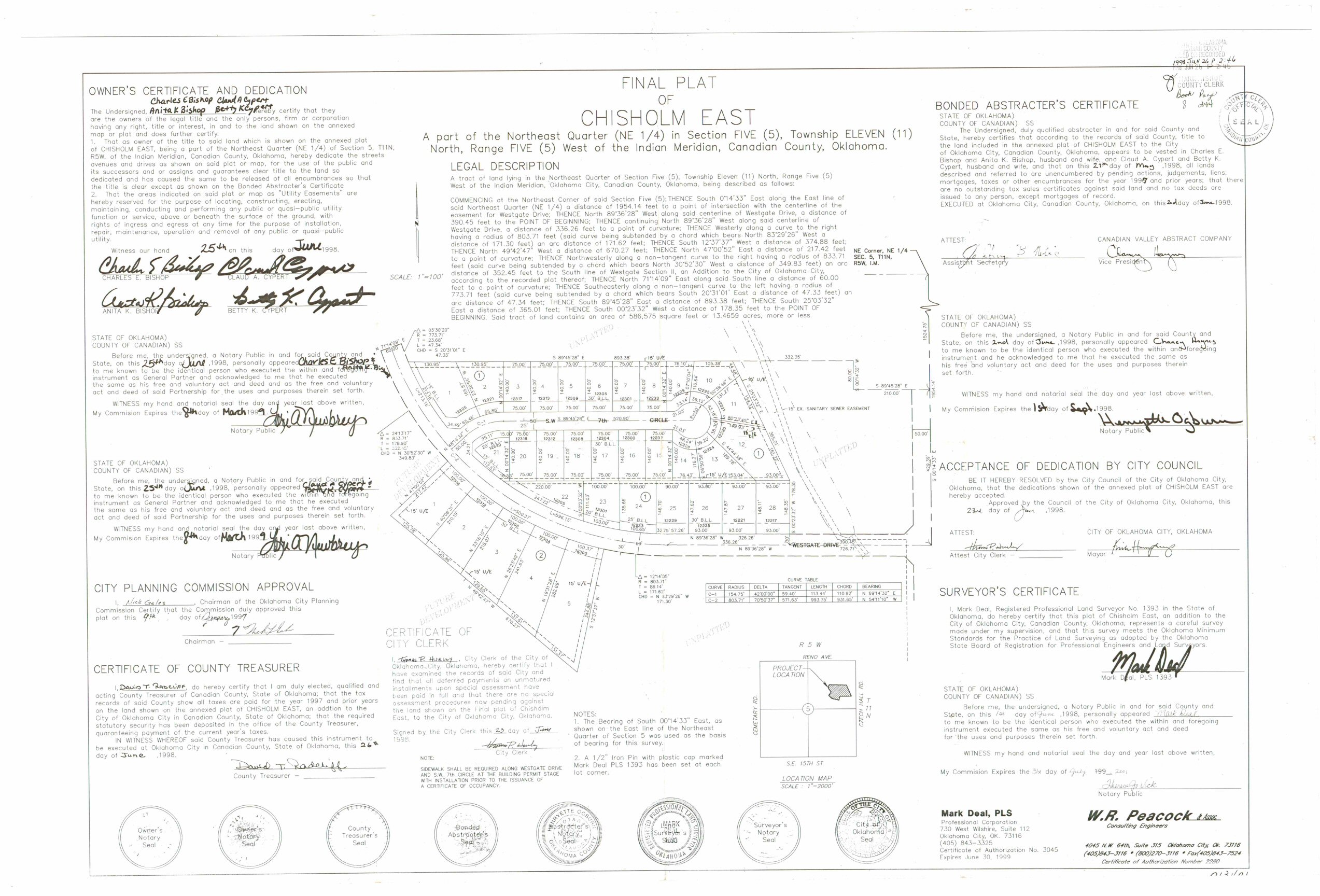
- Chisholm East.jpg
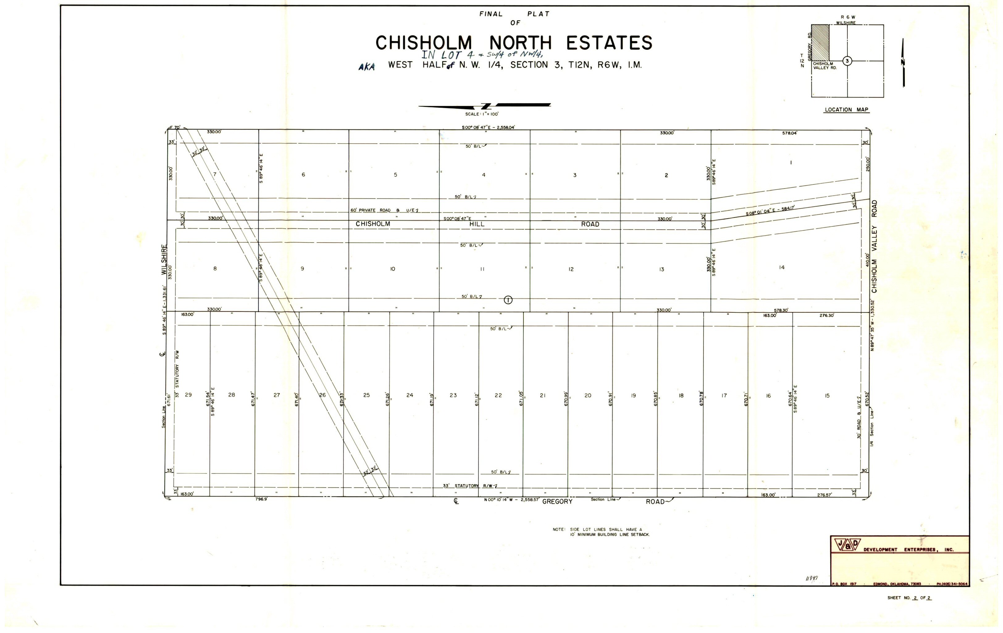
- Chisholm North Estates.jpg
- Chisholm Run Addition.tif
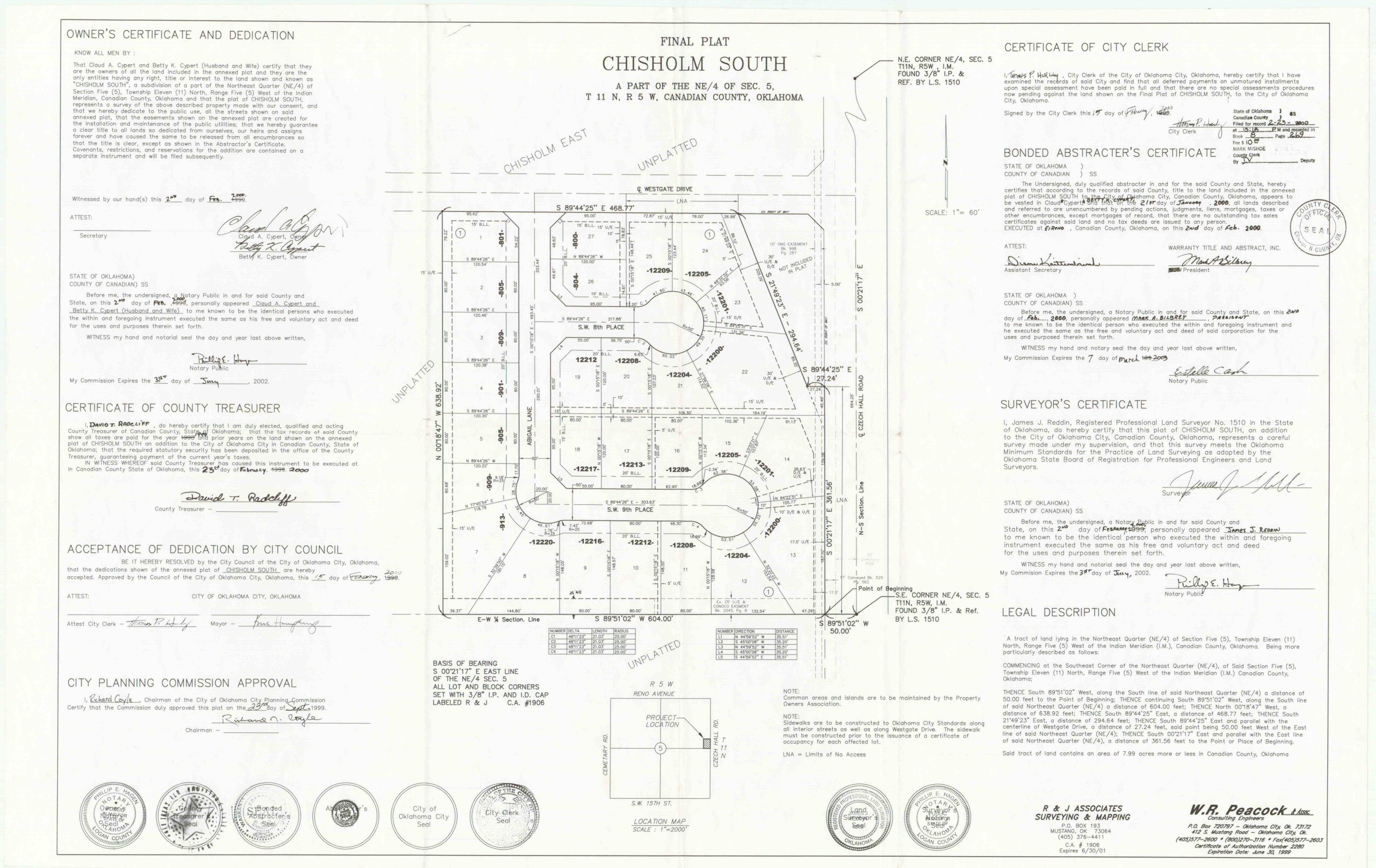
- Chisholm South.jpg
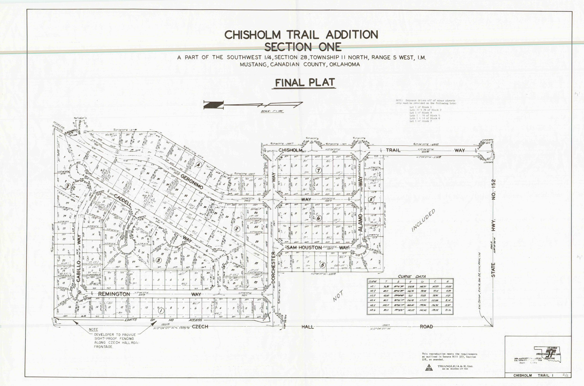
- Chisholm Trail Addition Section 1.jpg
- Chisholm Trail Addition Section 1.TIF
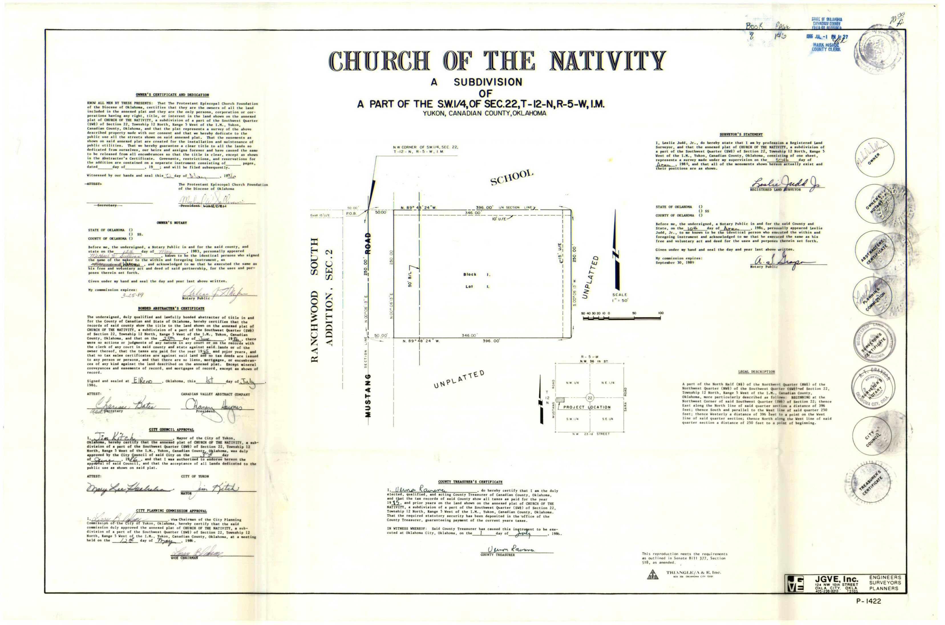
- Church of the Nativity.jpg
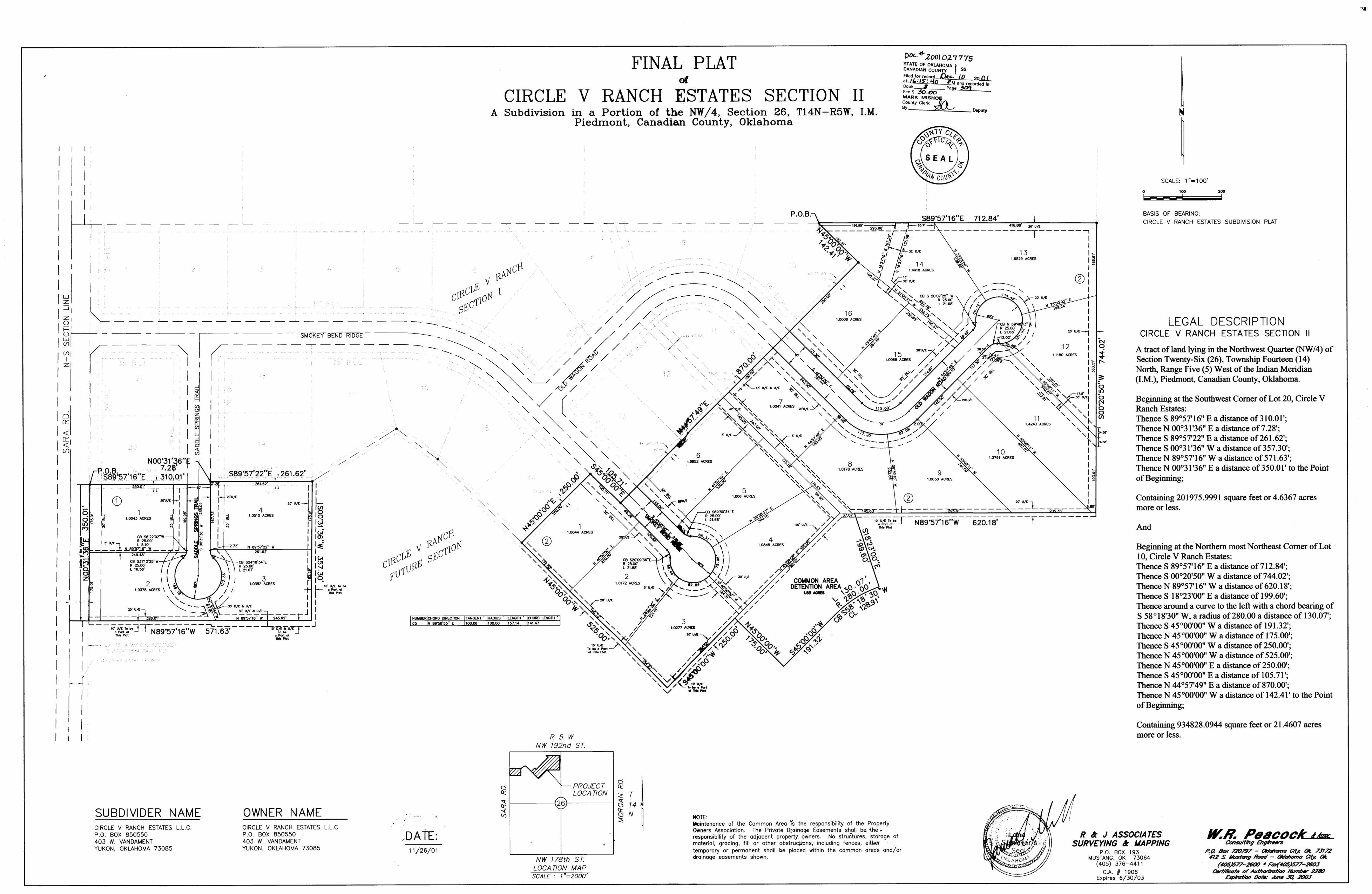
- Circle V Ranch Estates Section 2.jpg
- Circle V Ranch Estates Section 3.jpg
- Circle V Ranch Estates Section 4.Tif
- Circle V Ranch Estates Section 5.TIF
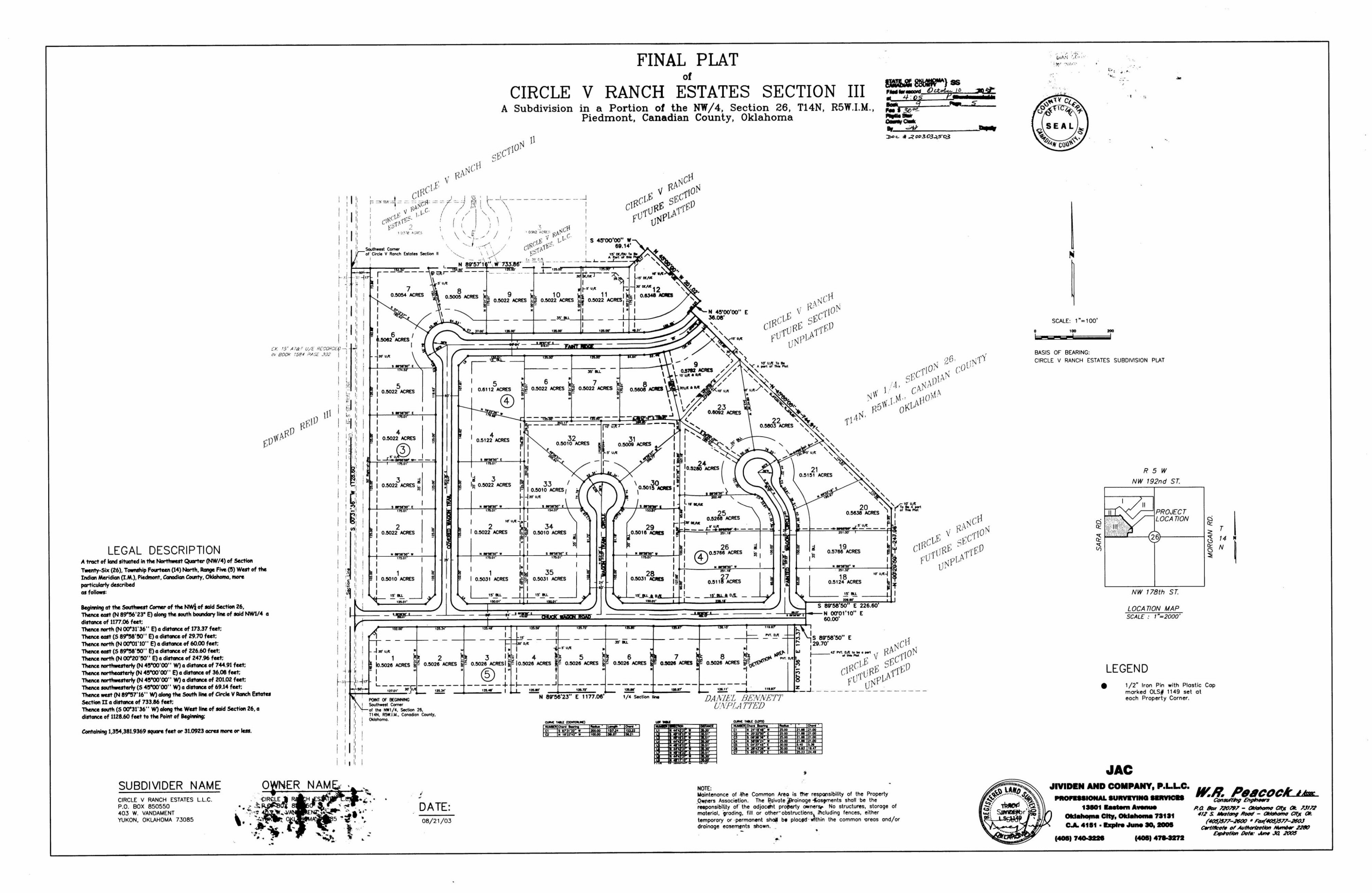
- Circle V Ranch Estates Section III.TIF
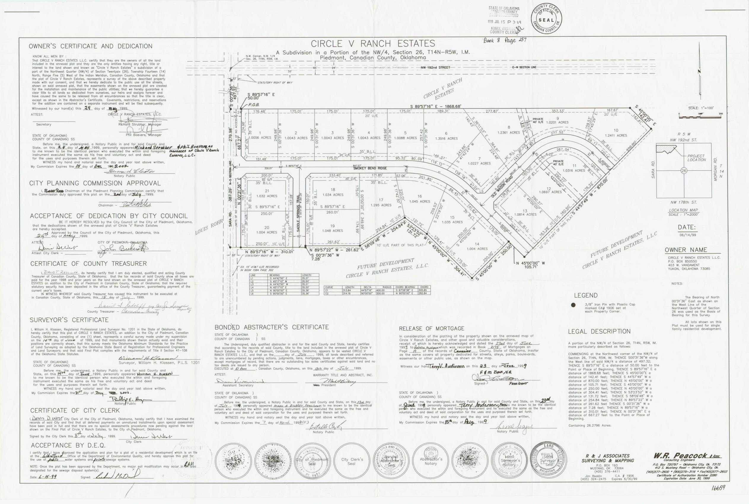
- Circle V Ranch Estates.jpg
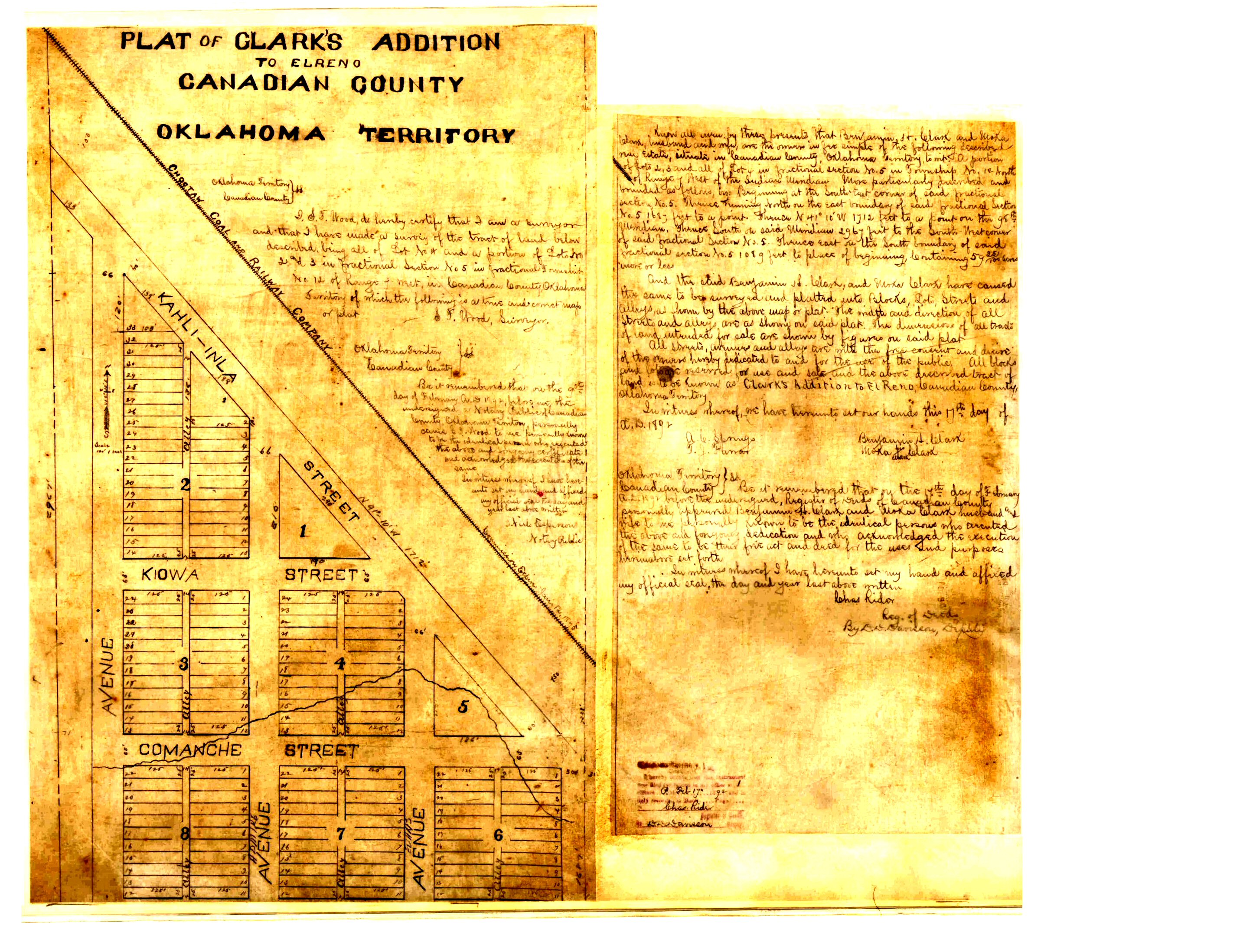
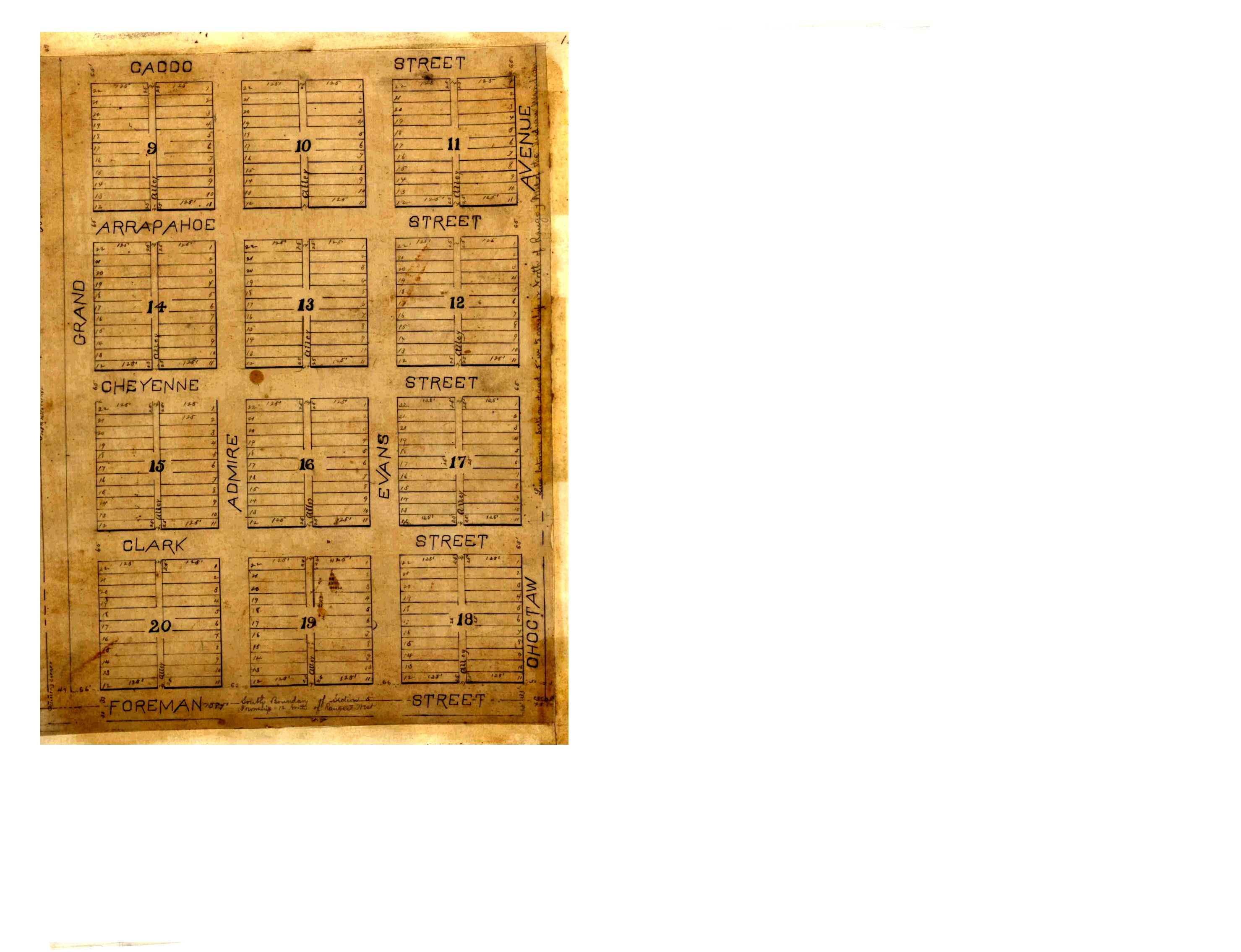
- Clark's Addition Part 1.jpg
- Clark's Addition Part 2.jpg
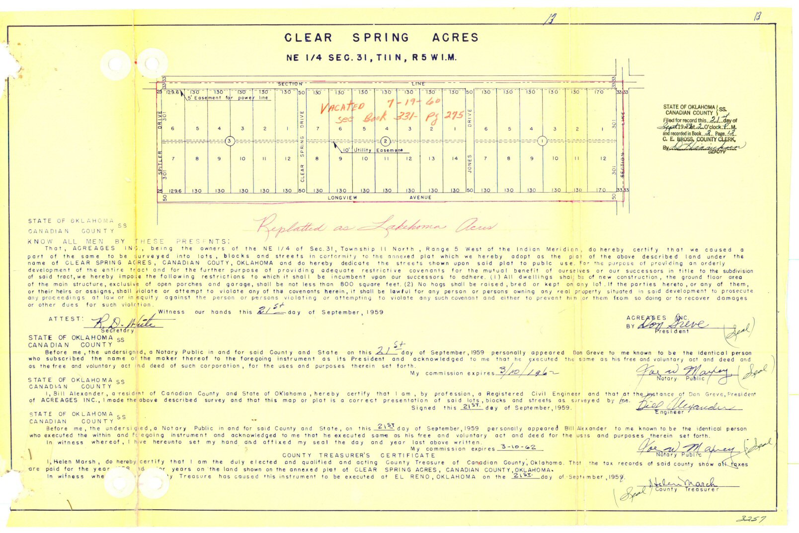
- Clear Spring Acres.jpg
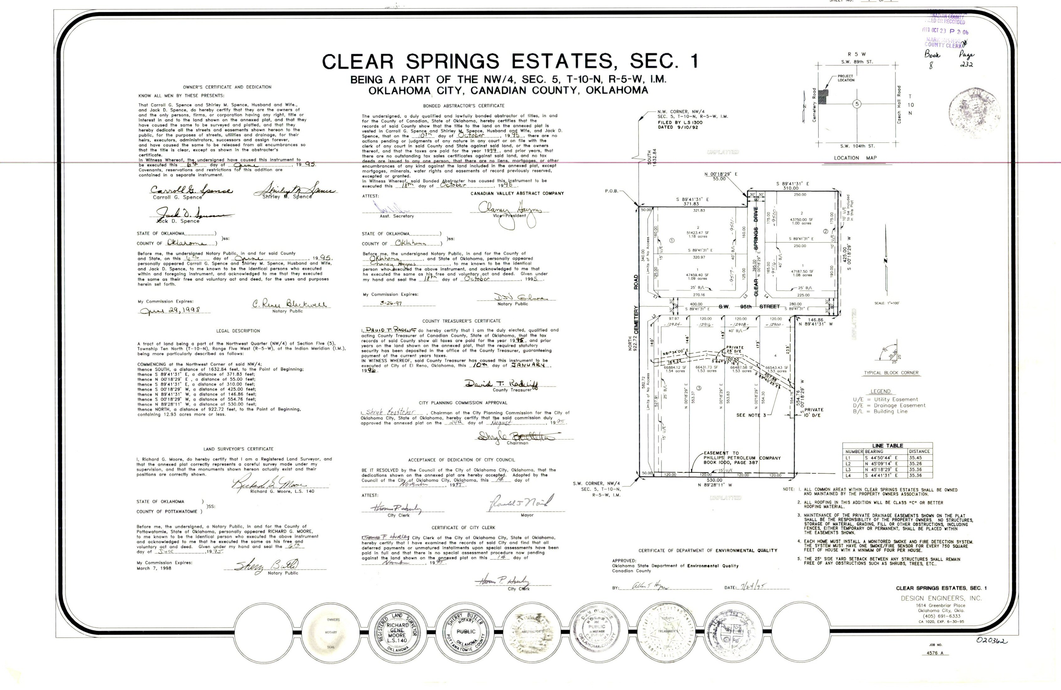
- Clear Springs Estates Section 1.jpg
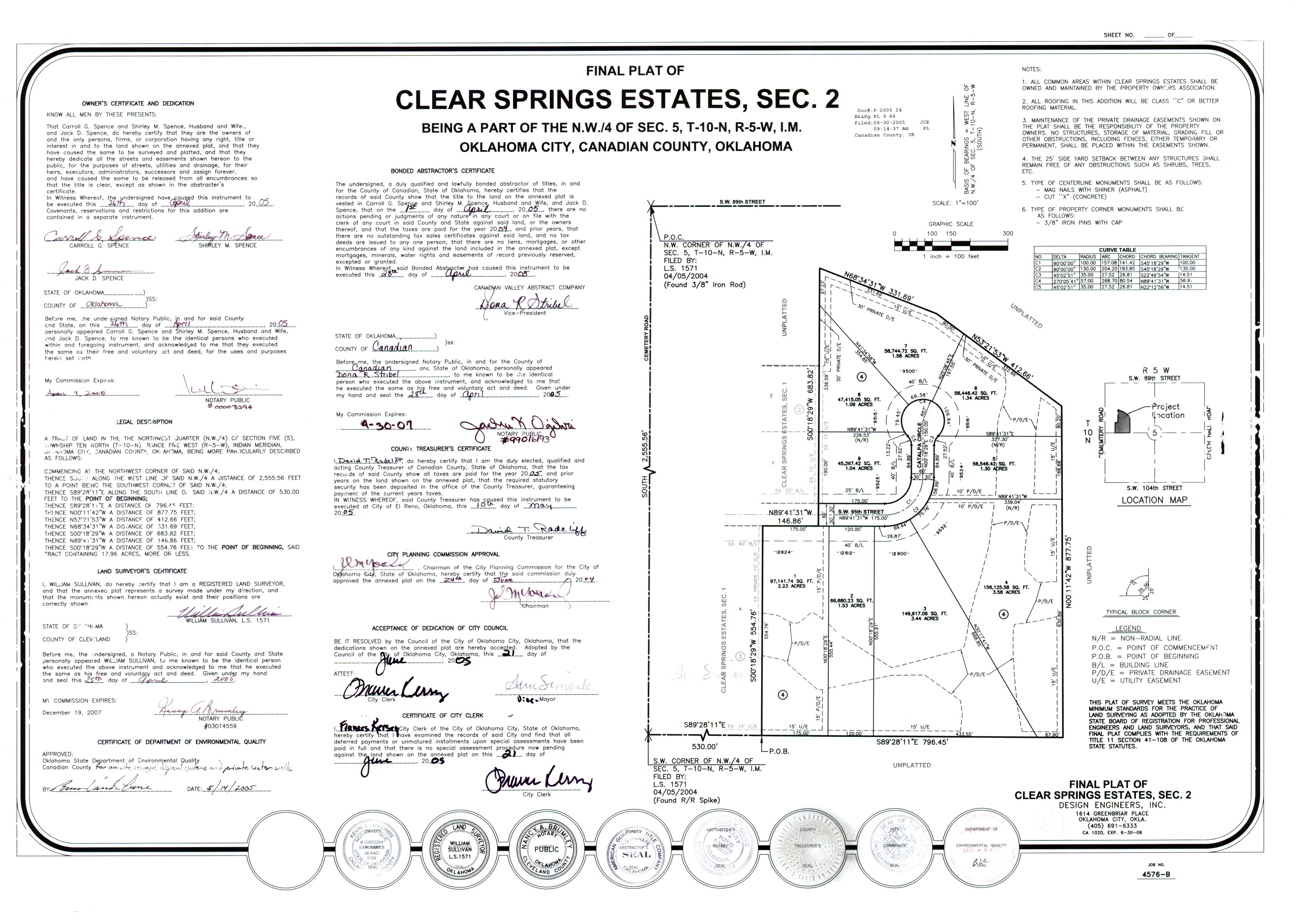
- Clear Springs Estates Section 2.jpg
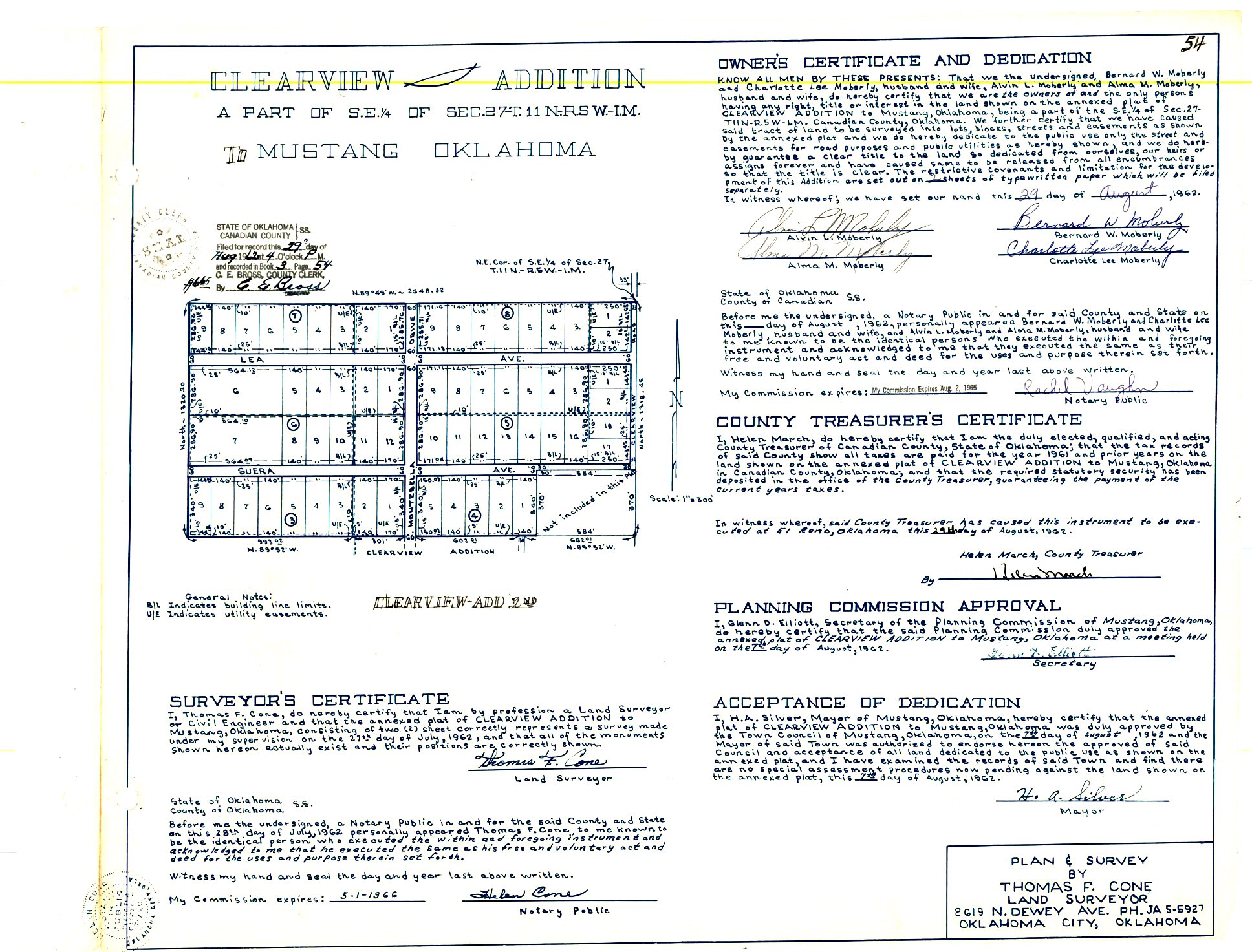
- Clearview Addition.jpg
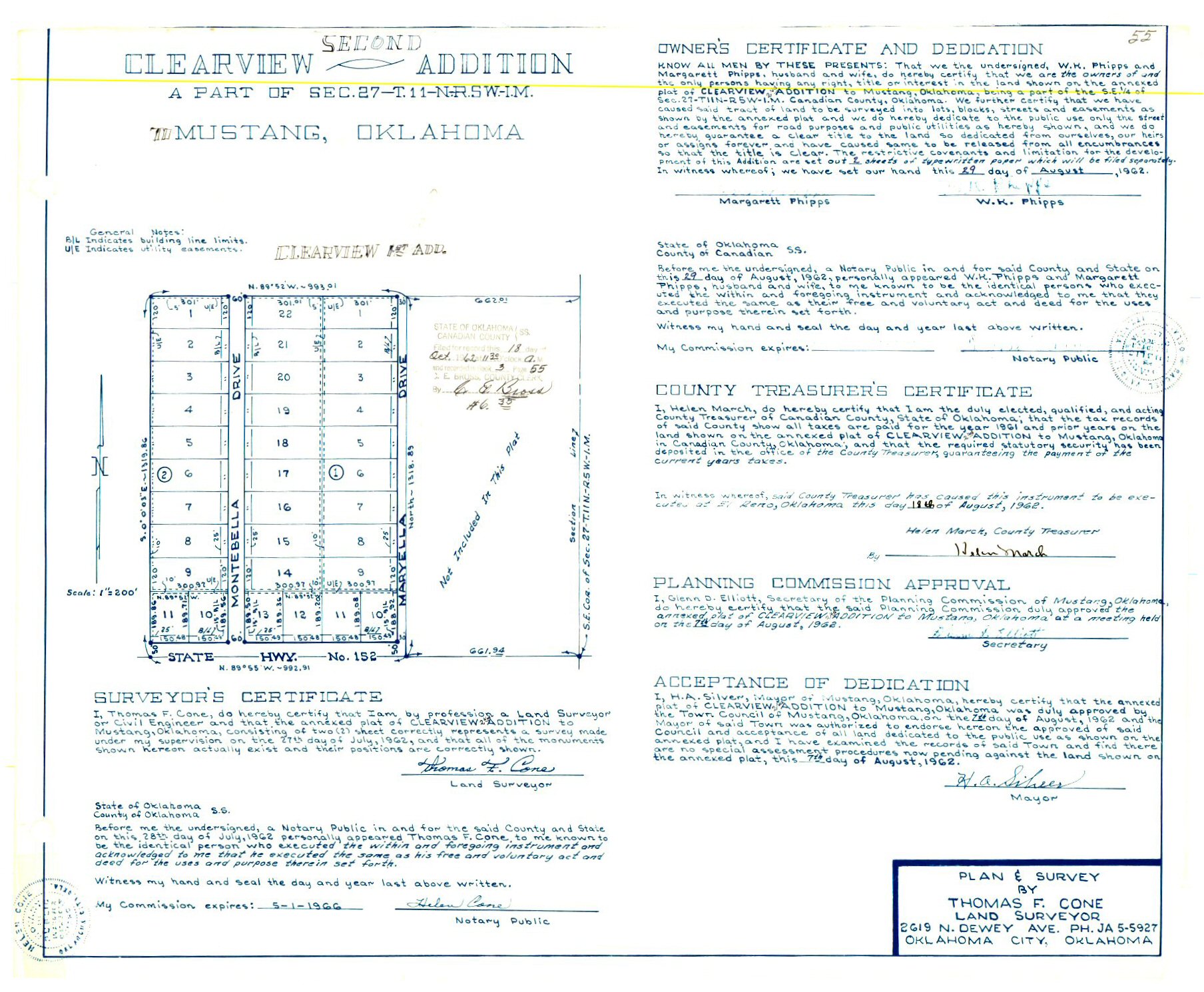
- Clearview Second Addition.jpg
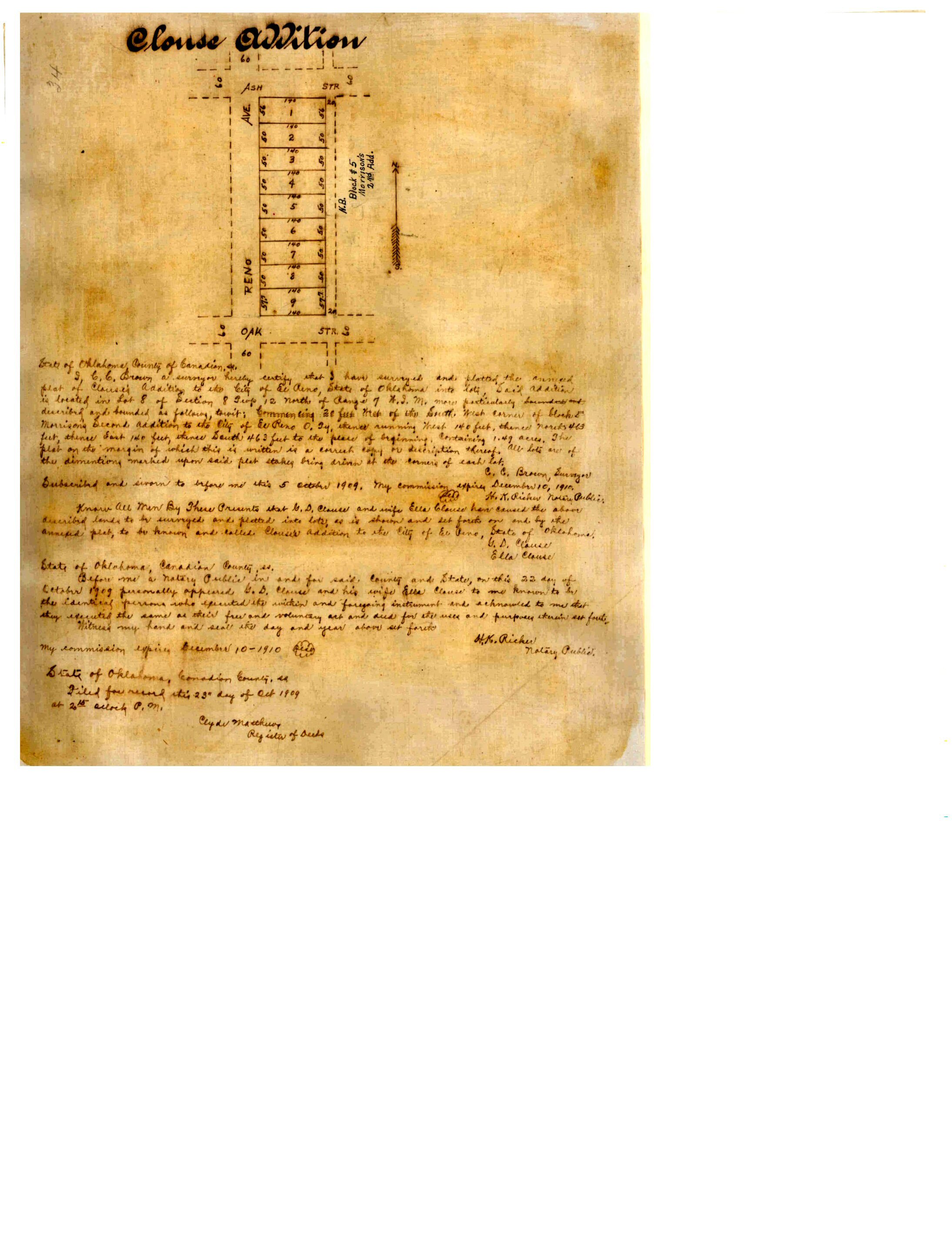
- Clouse Addition.jpg
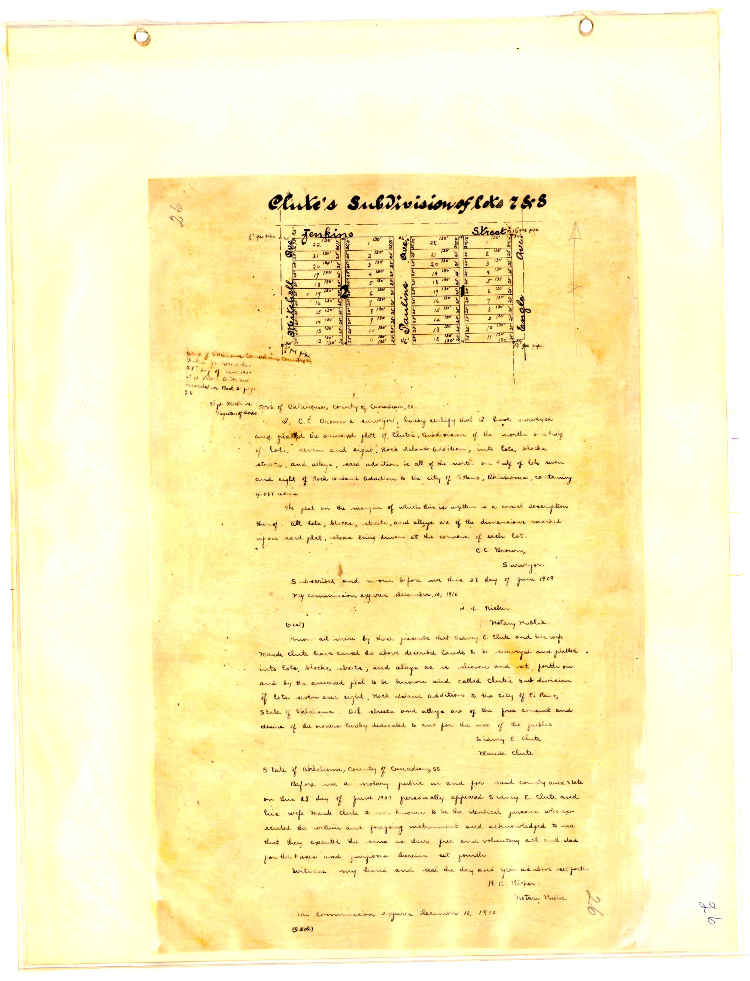
- Clute's Subdivision Lots 7 & 8.jpg
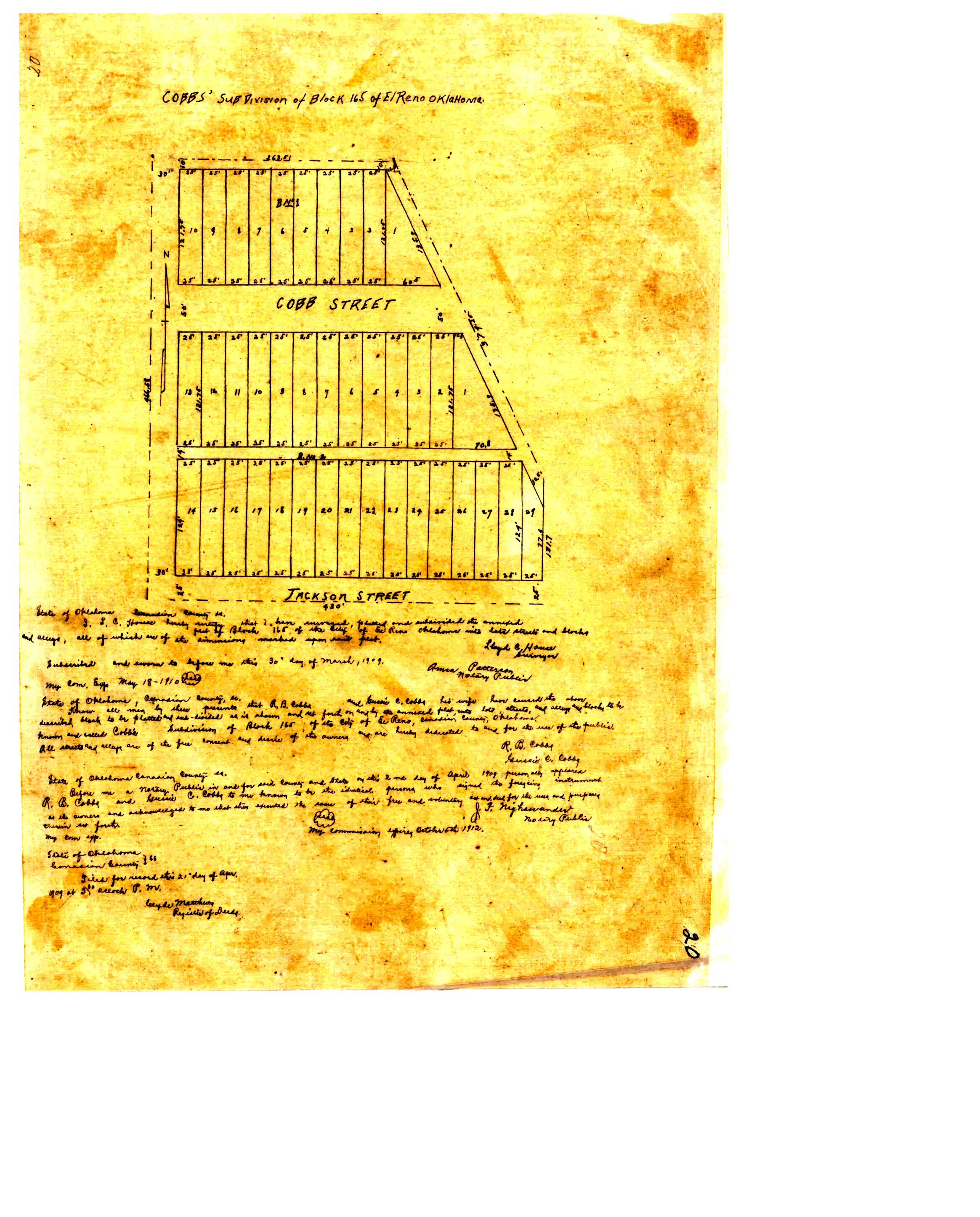
- Cobb's Subdivision Block 165.jpg
- Coeur D'Alene Phase 1.TIF
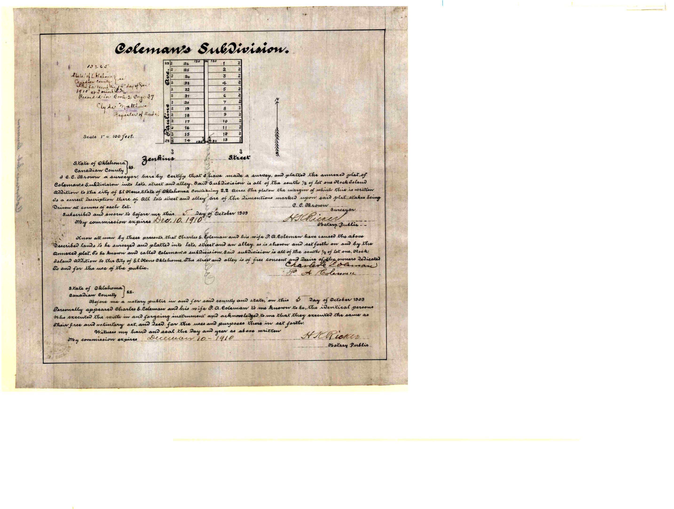
- Coleman's Subdivision.jpg
- Colony Pointe Commercial.tif
- Colony Pointe Phase 1.tif
- Colony Pointe Phase 2.tif
- Colony Pointe Phase 3.tif
- Colony Pointe Phase 4.TIF
- Colony Pointe Phase 5.TIF
- Colony Pointe Phase 6.TIF
- Colony Pointe Retail Center.tif
- Colony Pointe Villas.tif
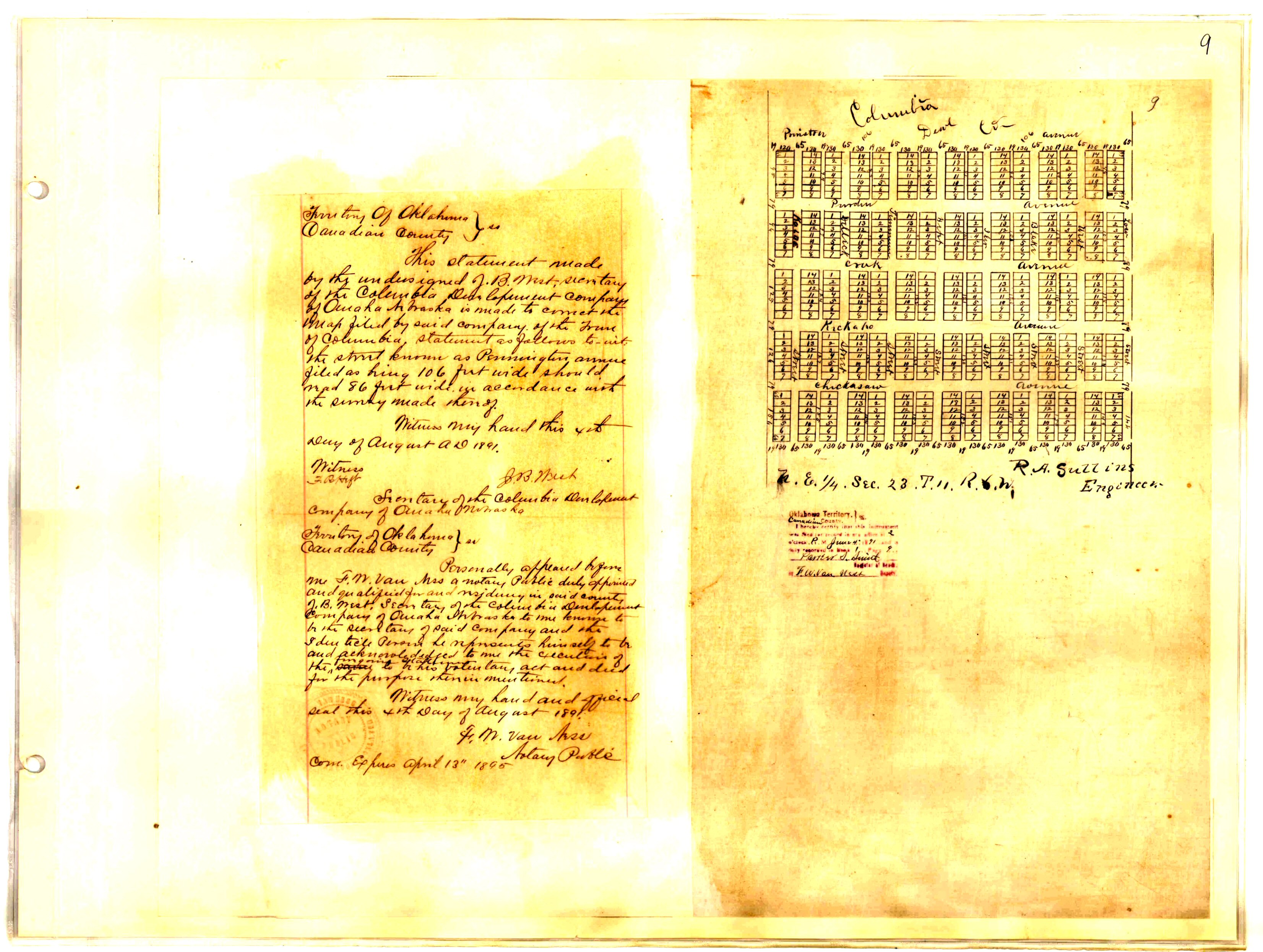
- Columbia.jpg
- Commons of Yukon II Replat of Lots 1, 4 & 5 Block 1 and Lot 1 Block 2 The Commons.TIF
- Commons, The.Tif
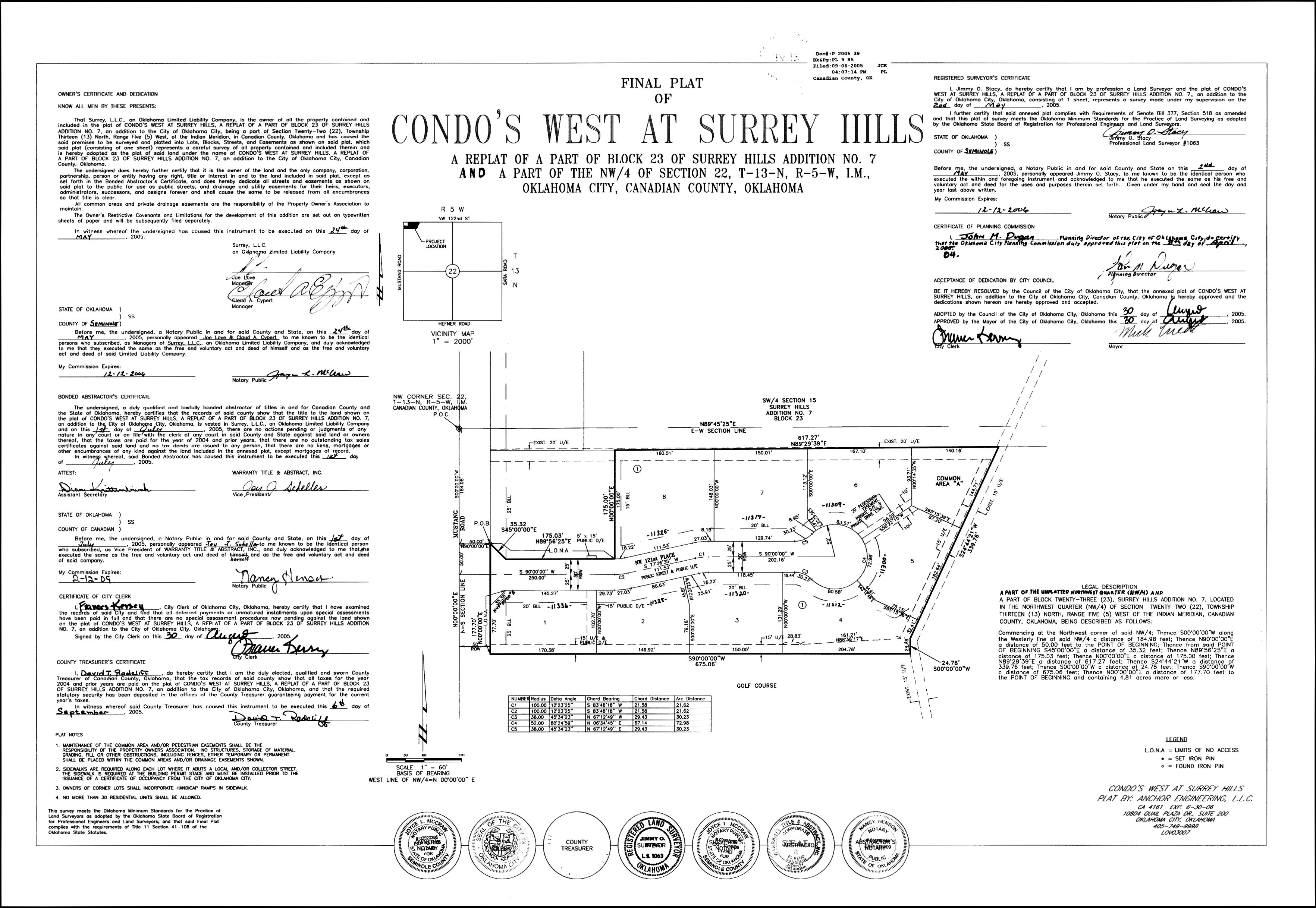
- Condo's West at Surrey Hills Replat of Part of Block 23 Surrey Hills Addition No. 7.jpg
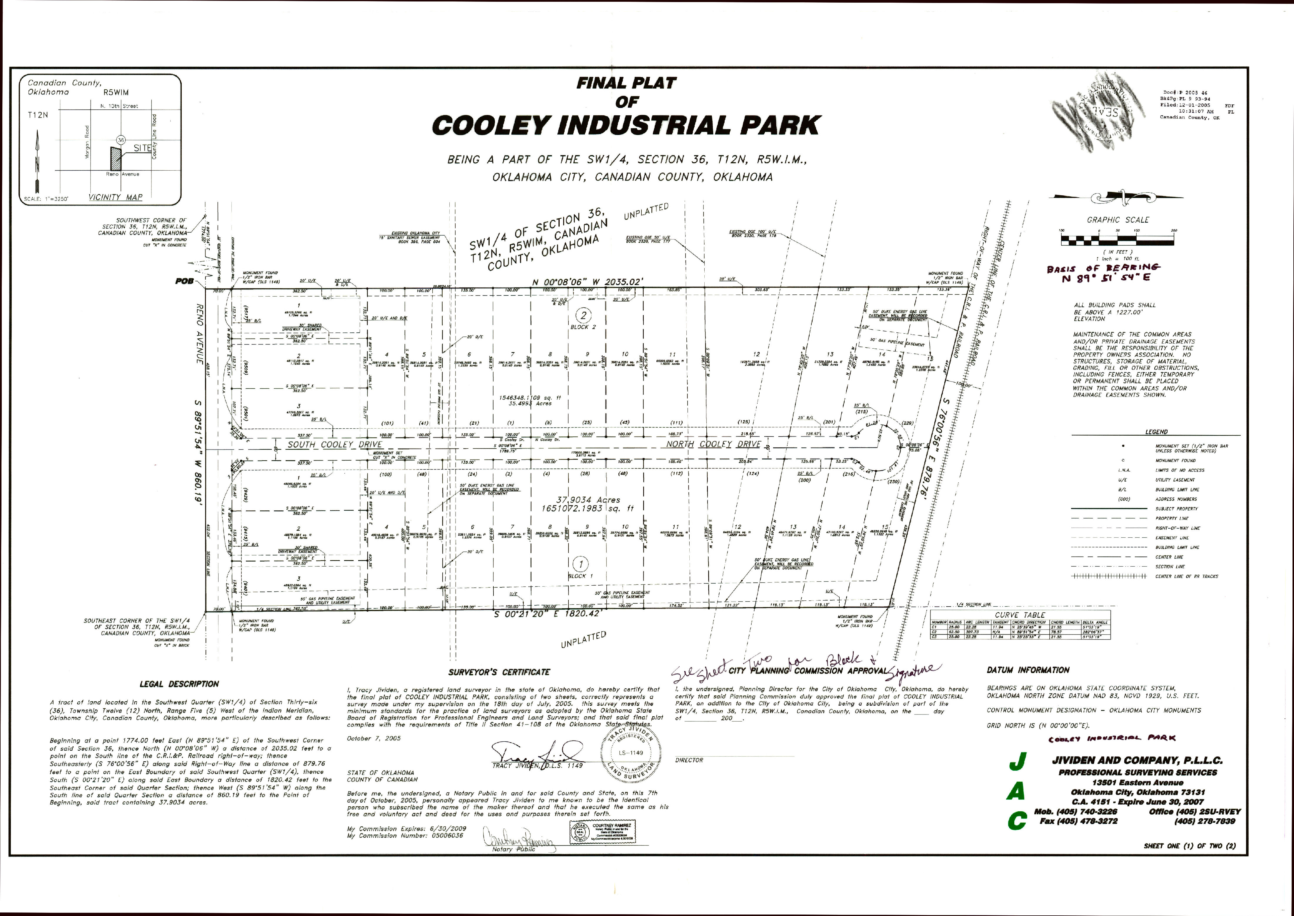
- Cooley Industrial Park.jpg
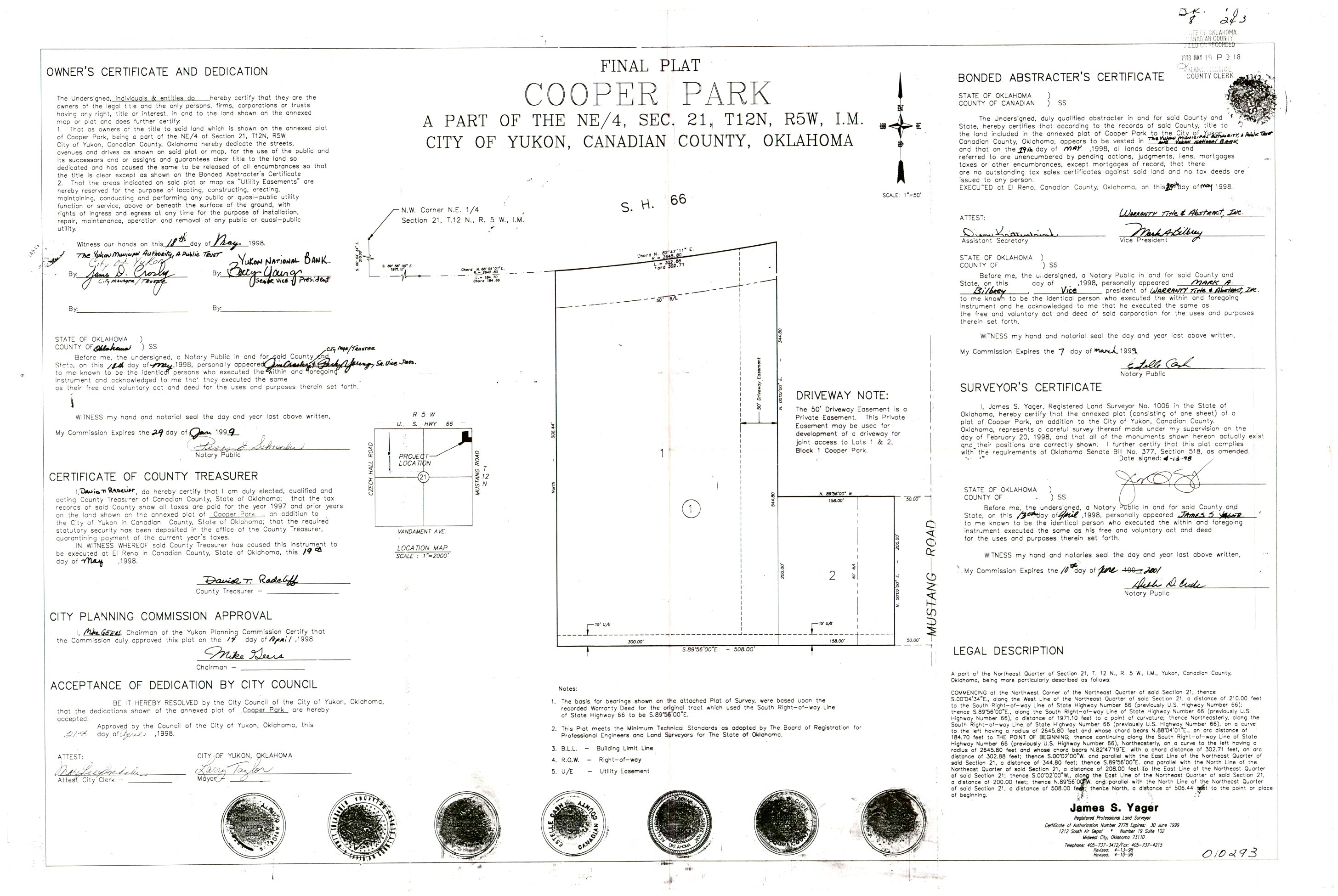
- Cooper Park.jpg
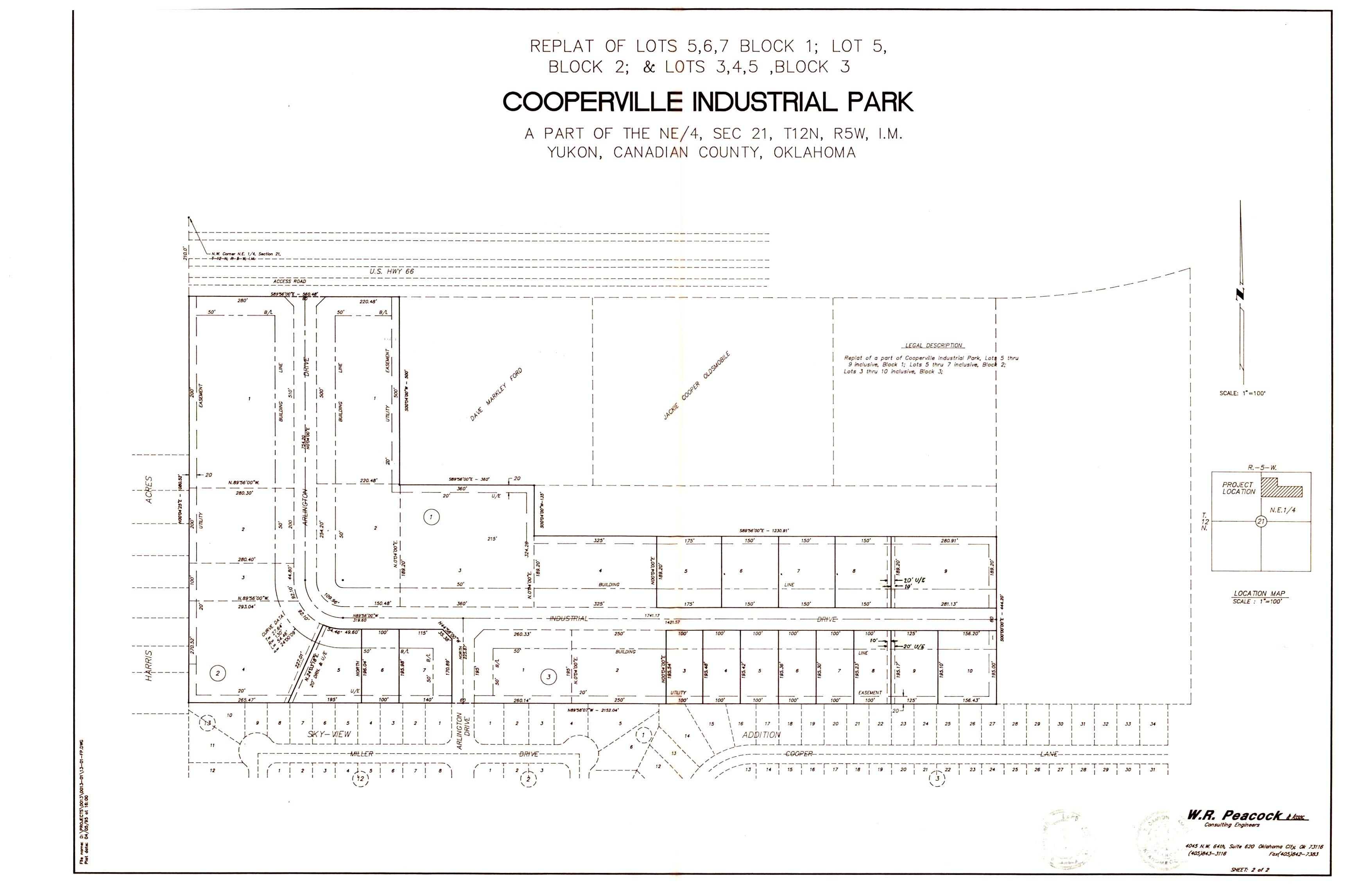
- Cooperville Industrial Park Replat.jpg
- Cooperville Industrial Park Replat.TIF
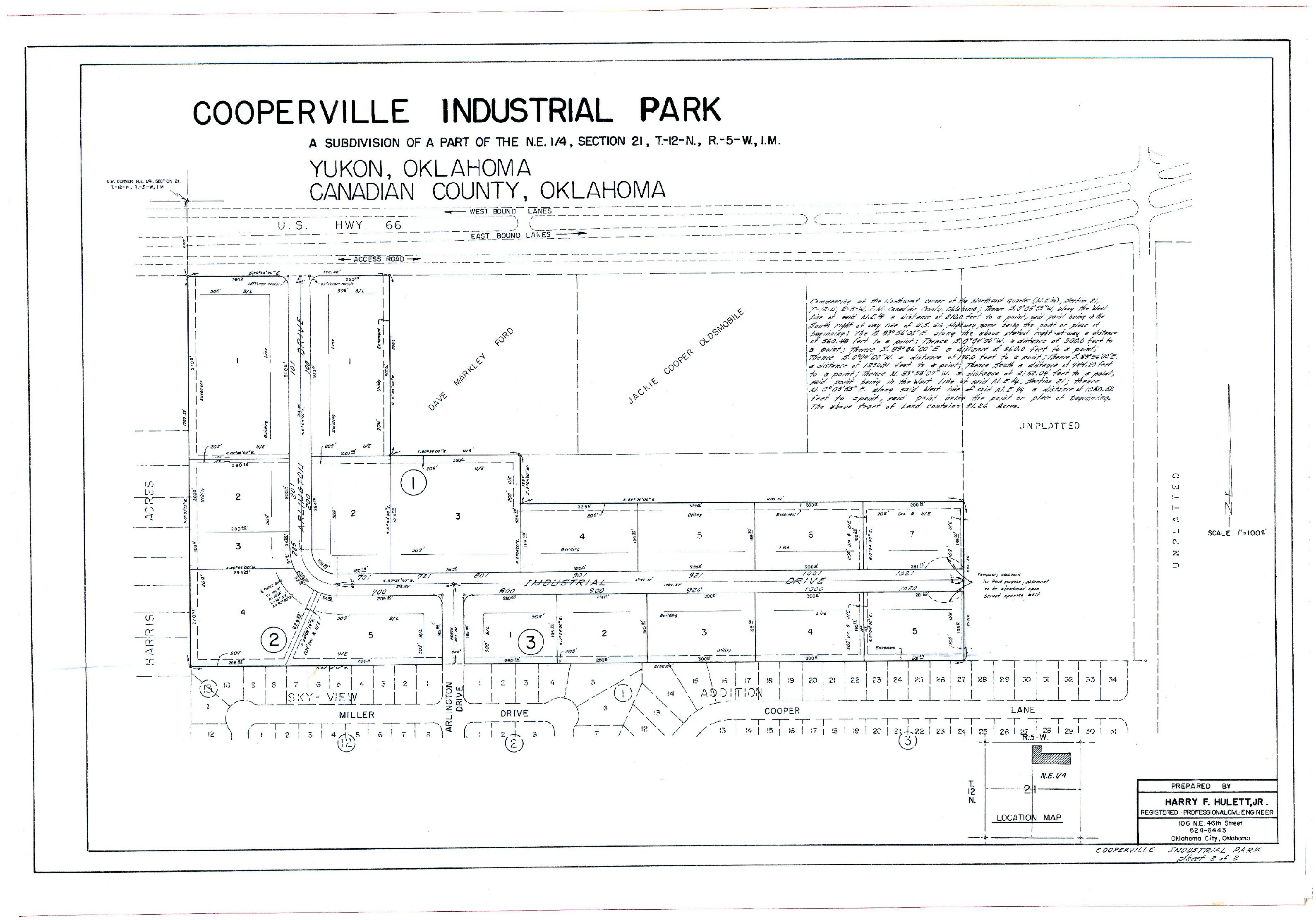
- Cooperville Industrial Park.jpg
- Cooperville Industrial Park.TIF
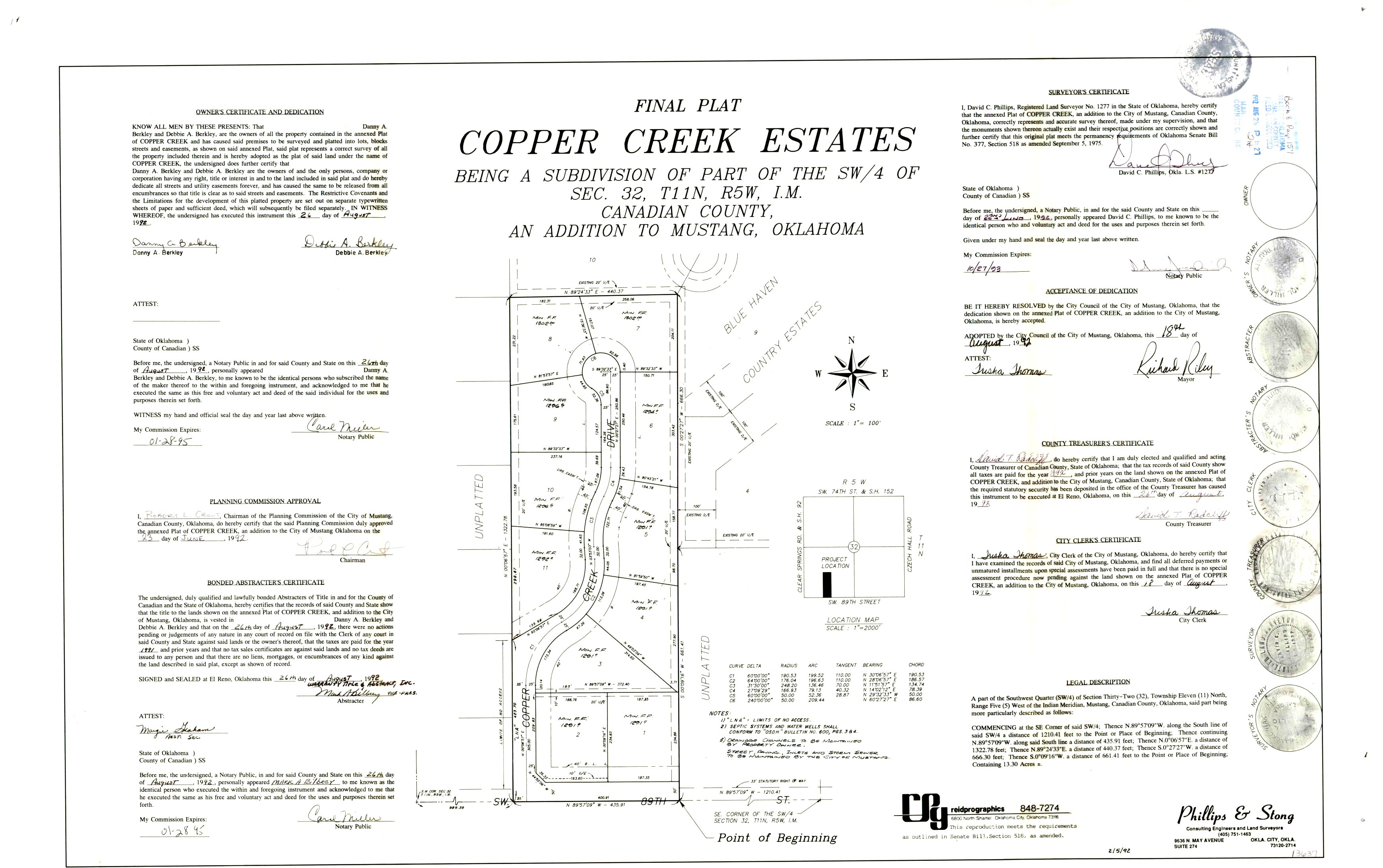
- Copper Creek Estates.jpg
- Corinthians Court Section 2.tif
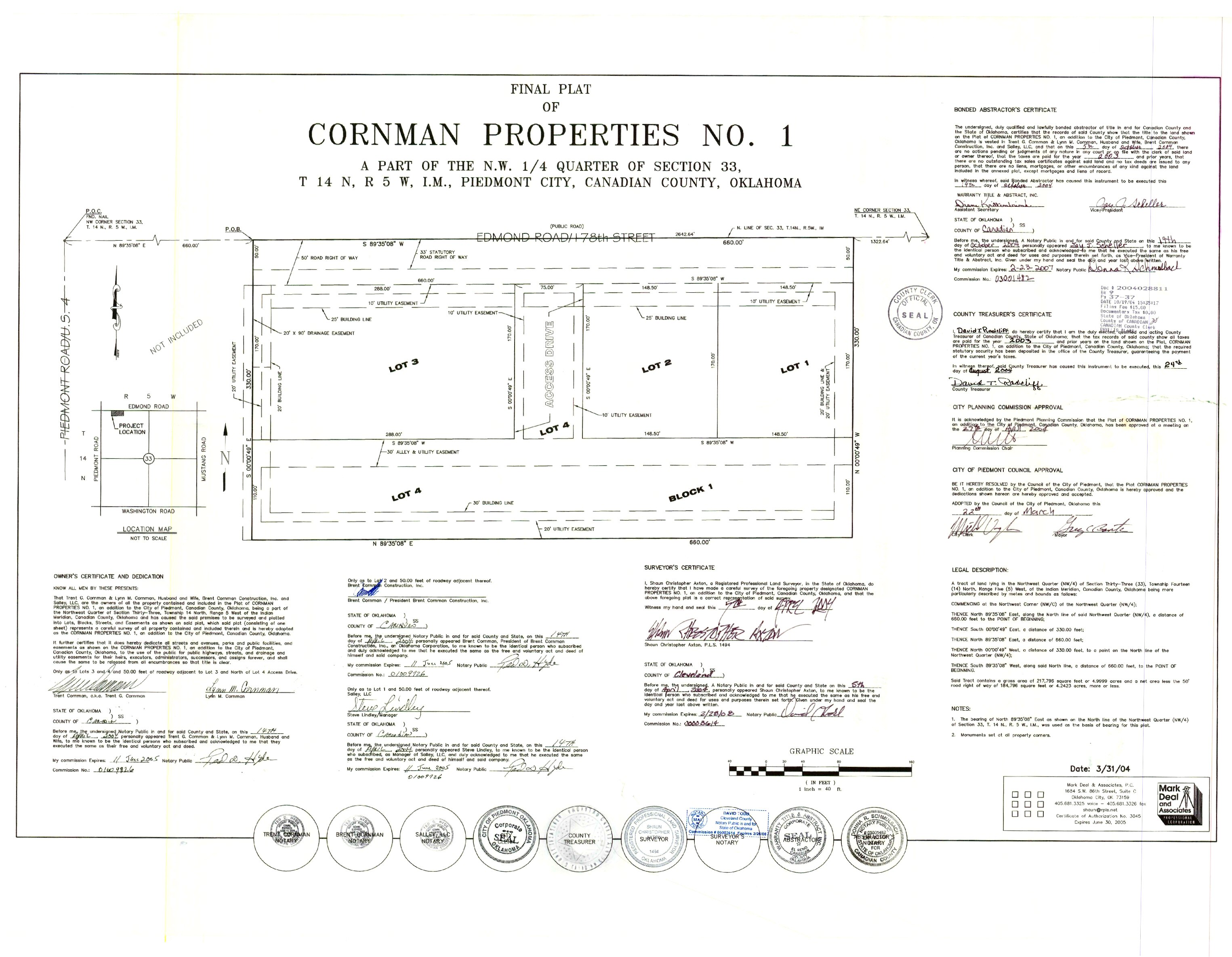
- Cornman Properties No. 1.jpg
- Cottonwood Creek.TIF
- Cottonwood Estates.tif
- Cottonwood Farm II.Tif
- Cottonwood Farm III.TIF
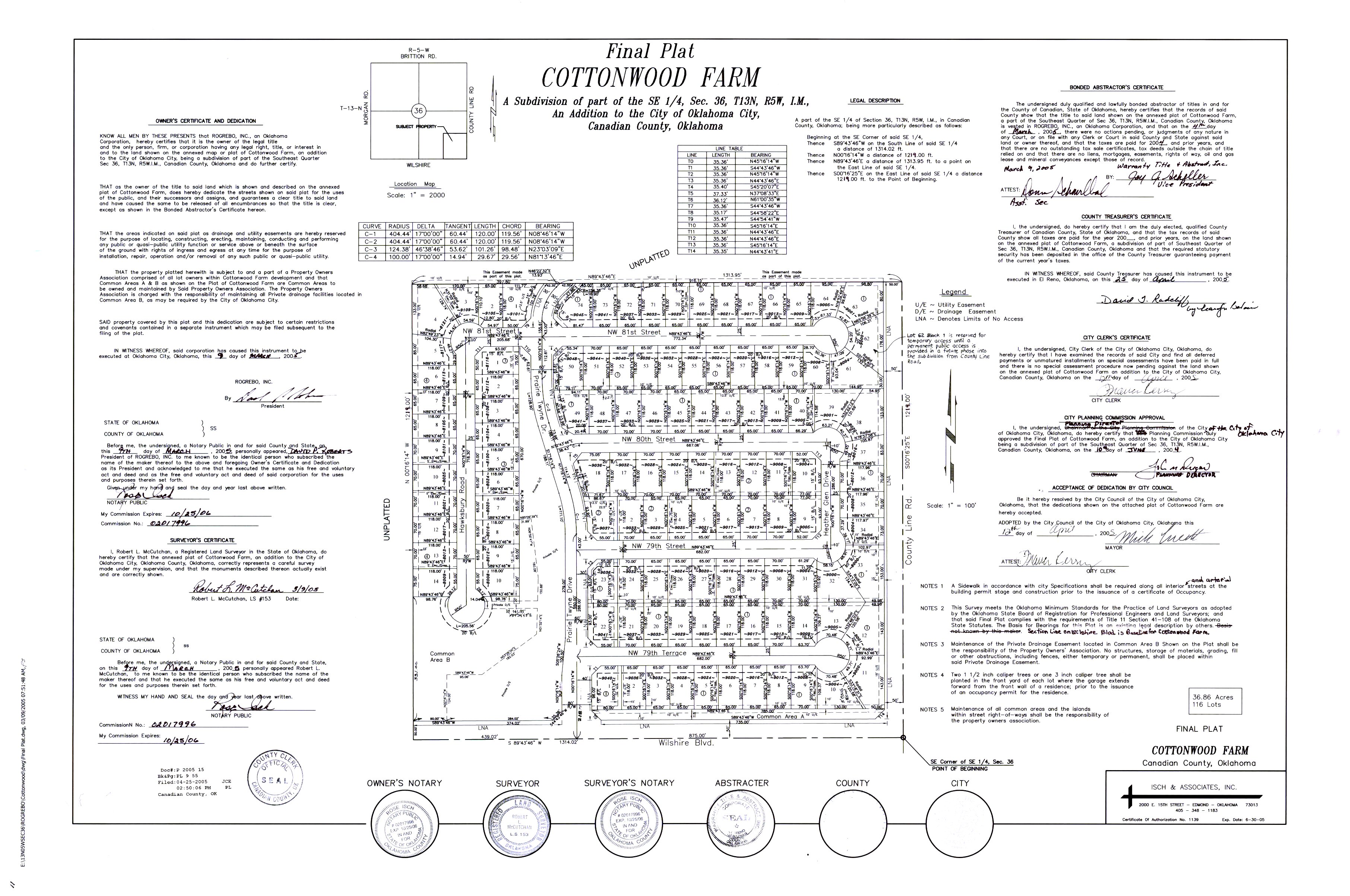
- Cottonwood Farm.jpg
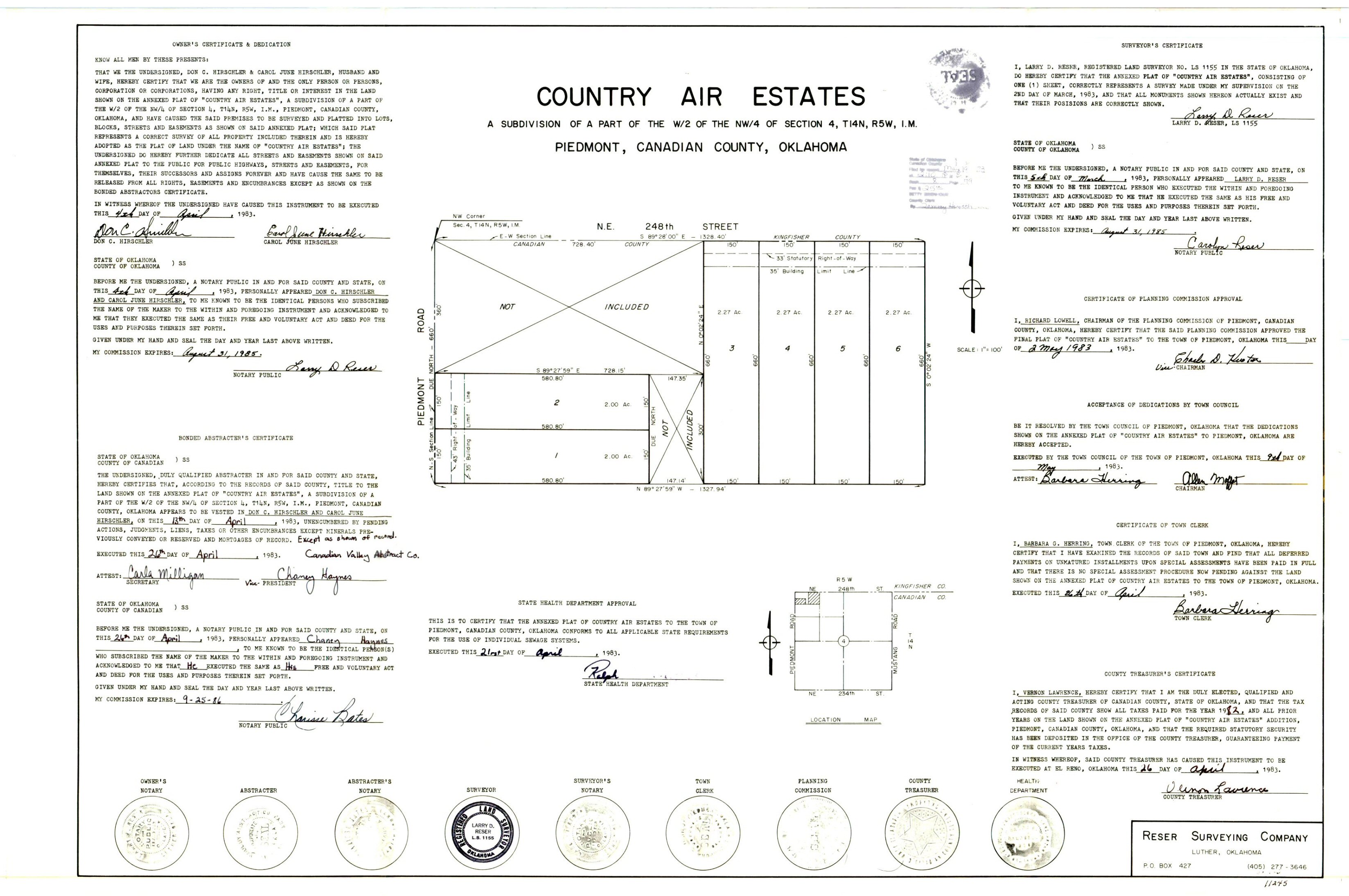
- Country Air Estates.jpg
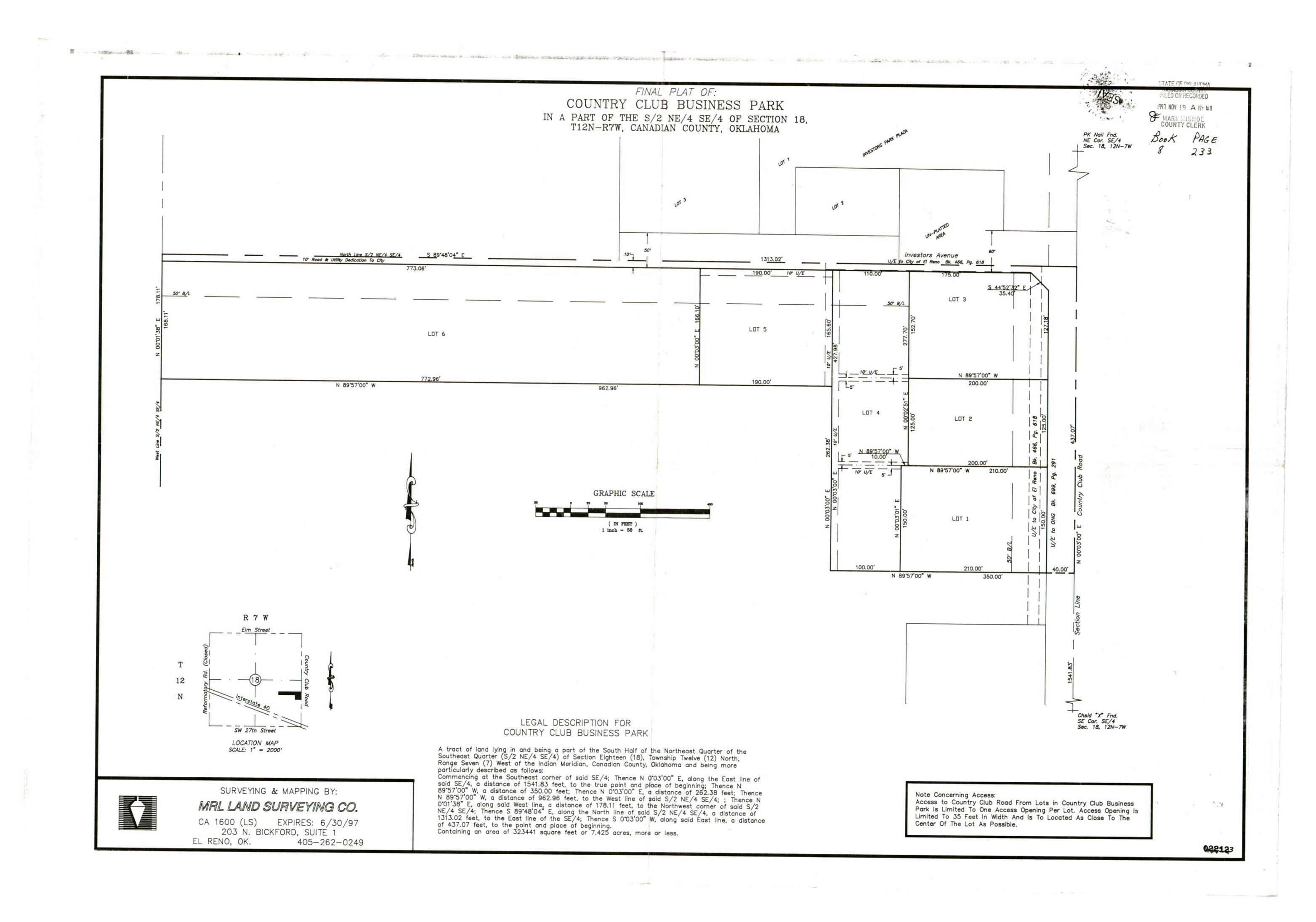
- Country Club Business Park.jpg
- Country Club Center.TIF
- Country Club Executive Addition.jpg
- Country Equipment.TIF
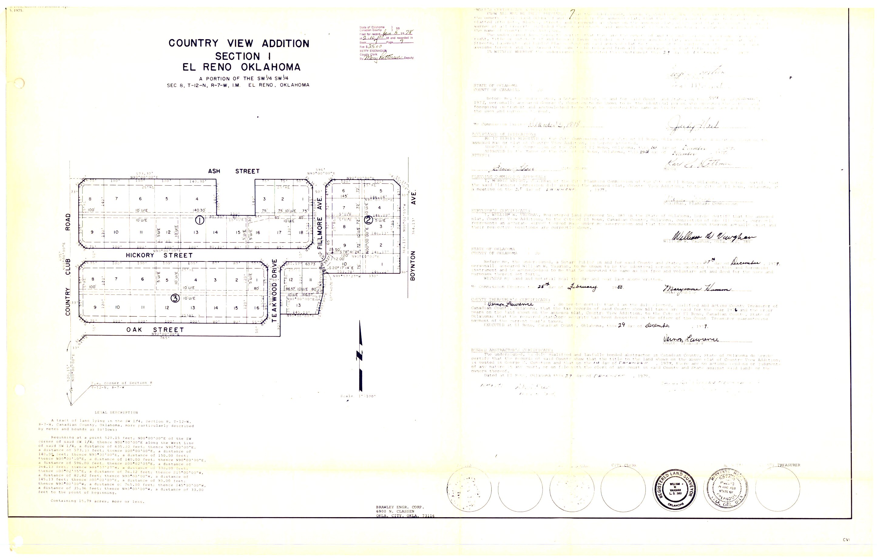
- Country View Addition Section 1.jpg
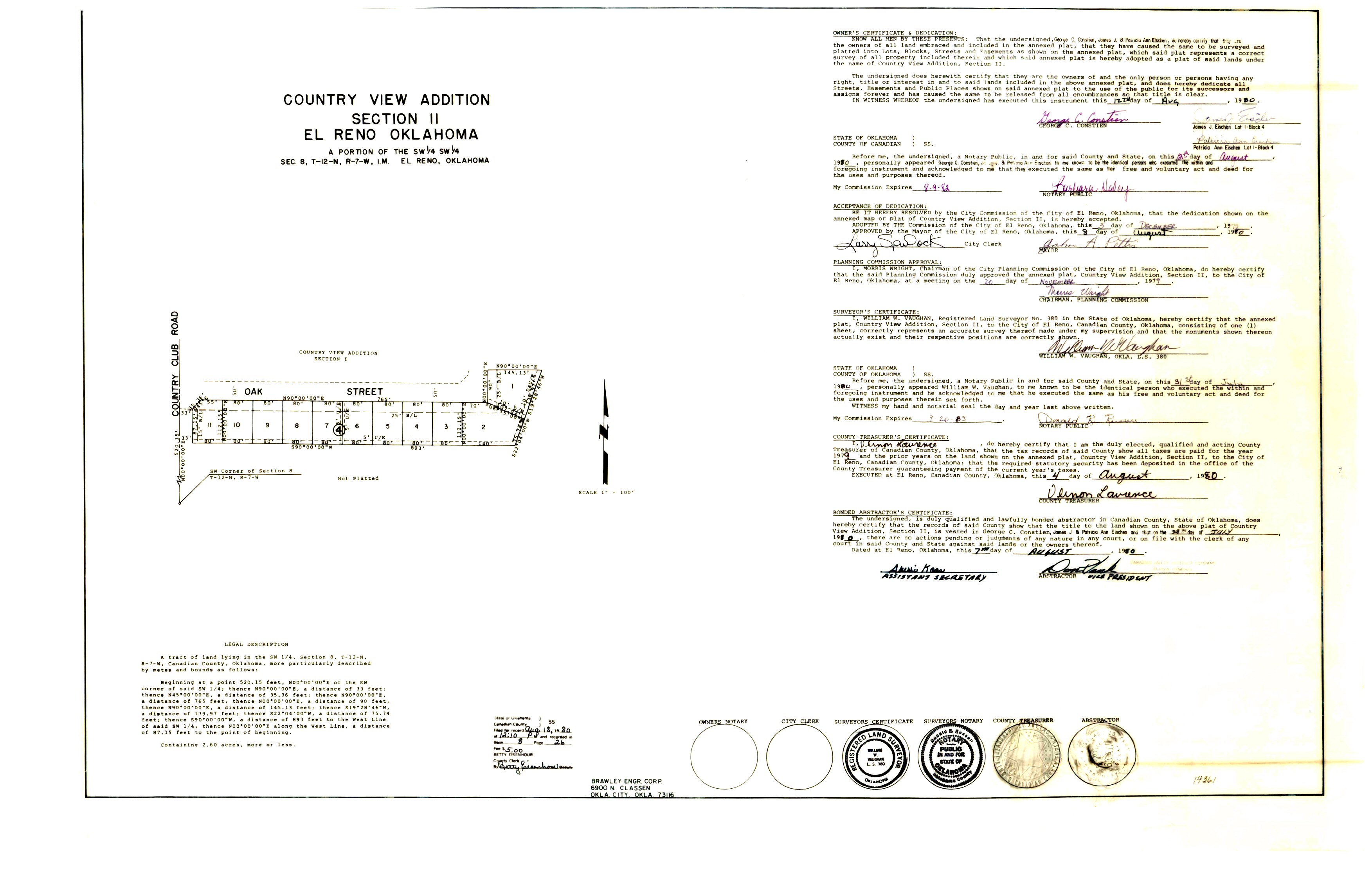
- Country View Addition Section 2.jpg
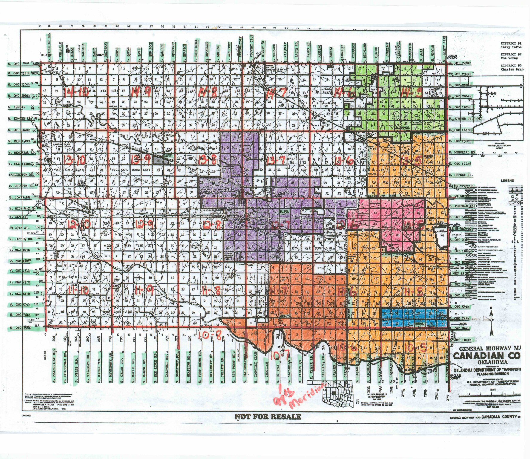
- County Highway Map.jpg
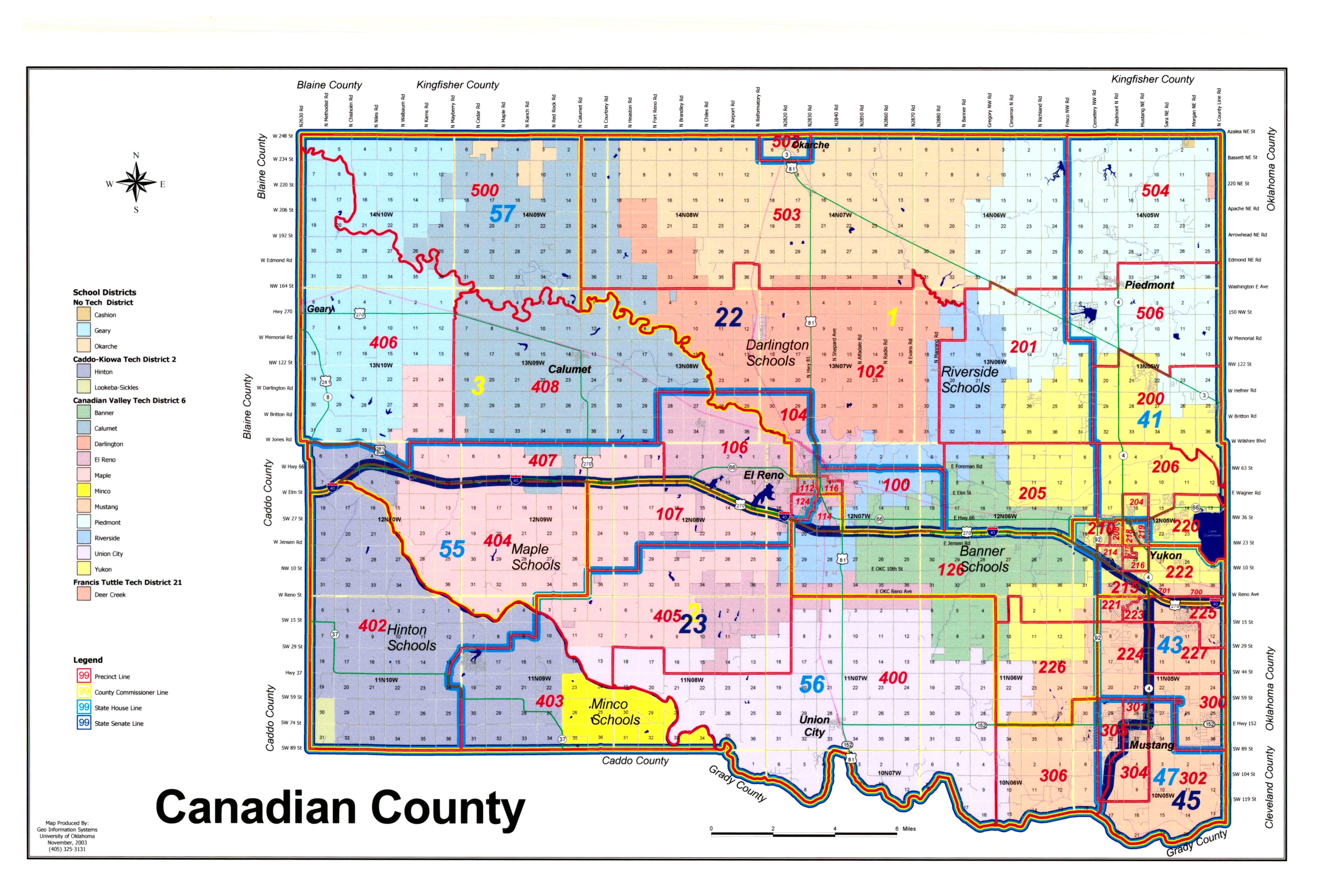
- County School District Map.jpg
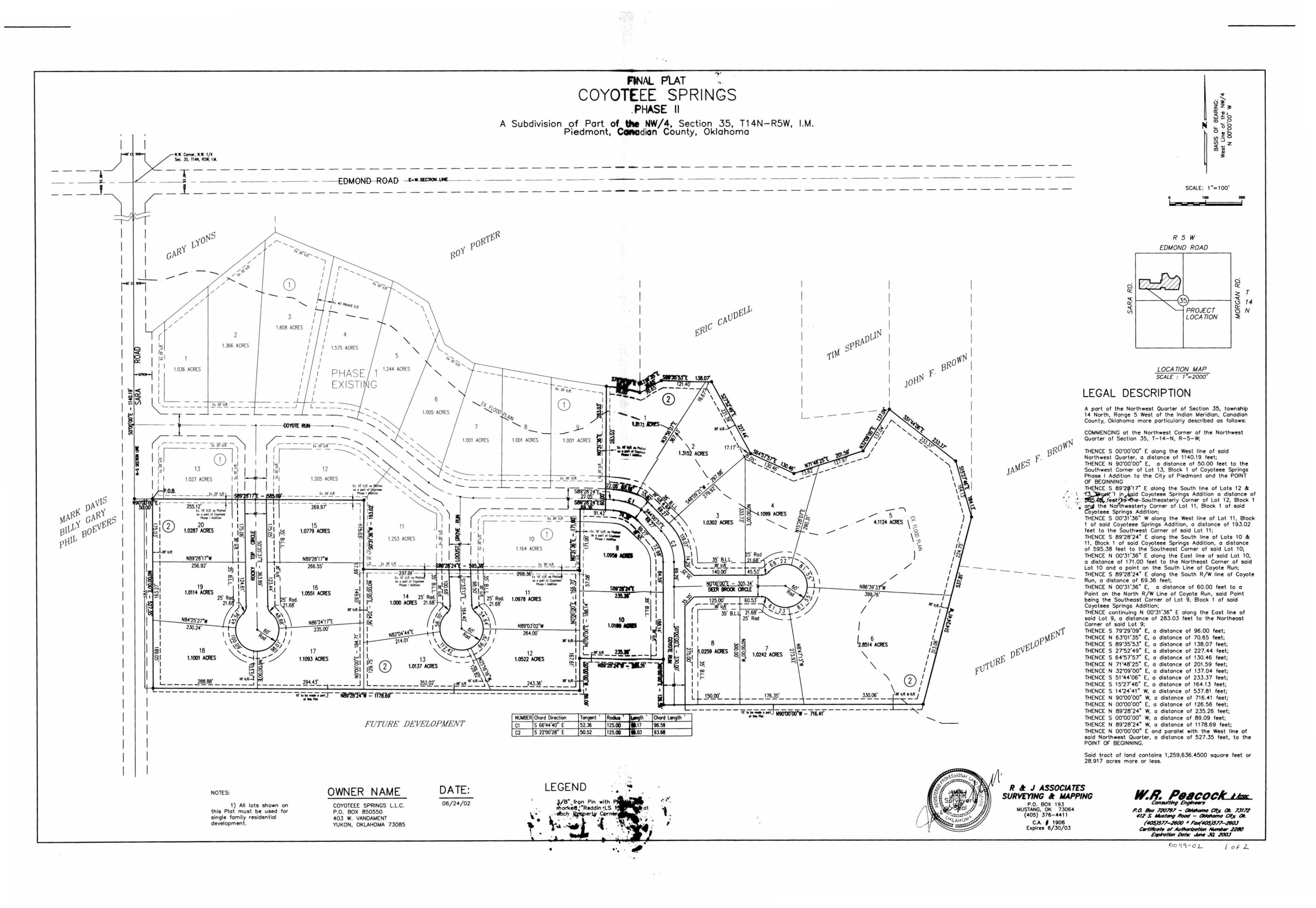
- Coyotee Springs Phase 2.jpg
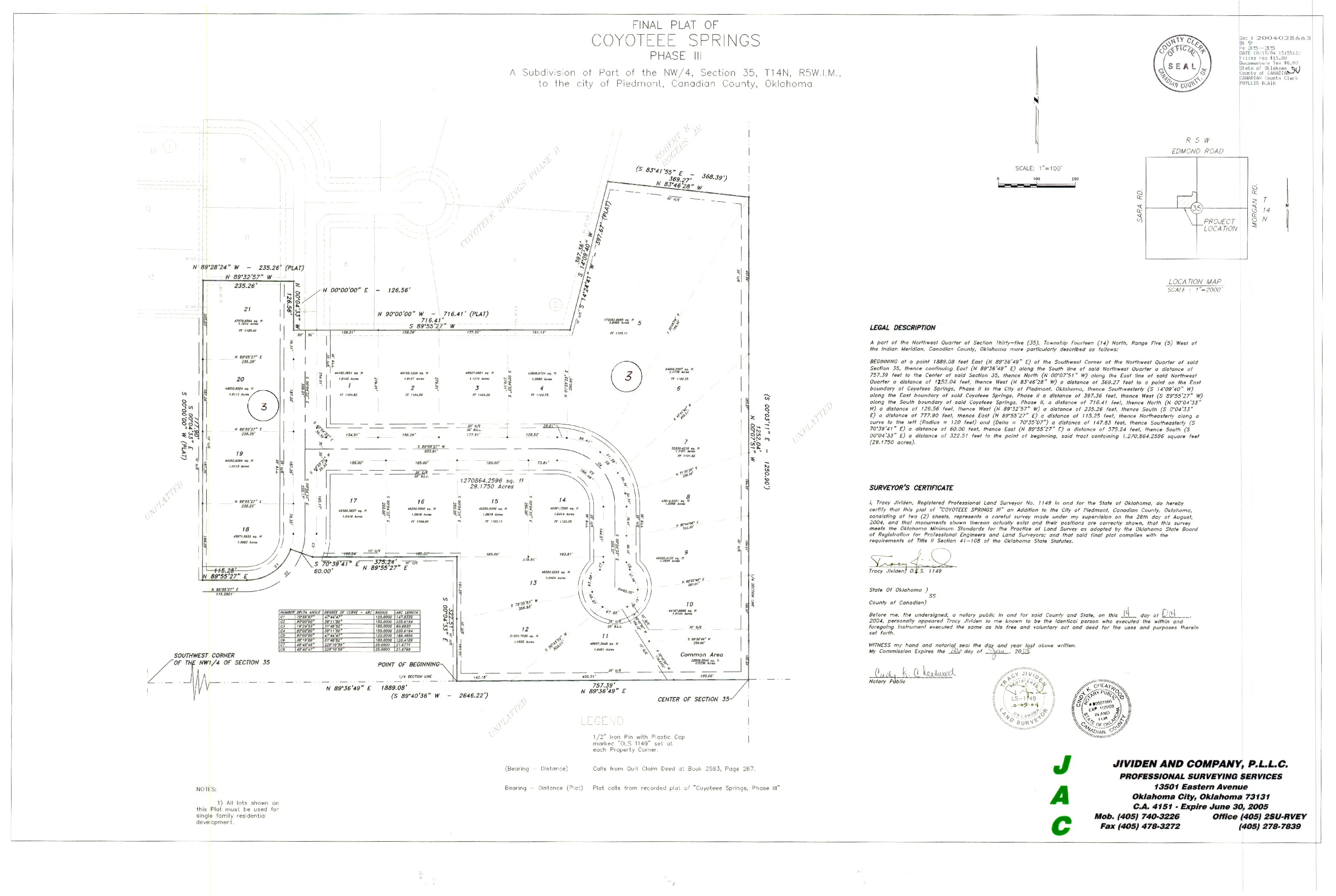
- Coyotee Springs Phase 3.jpg
- Coyotee Springs Phase 4.Tif
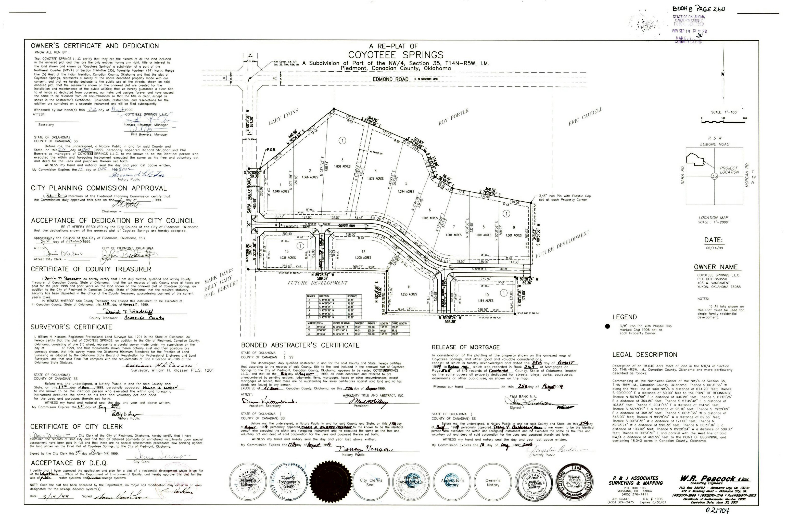
- Coyotee Springs Replat.jpg
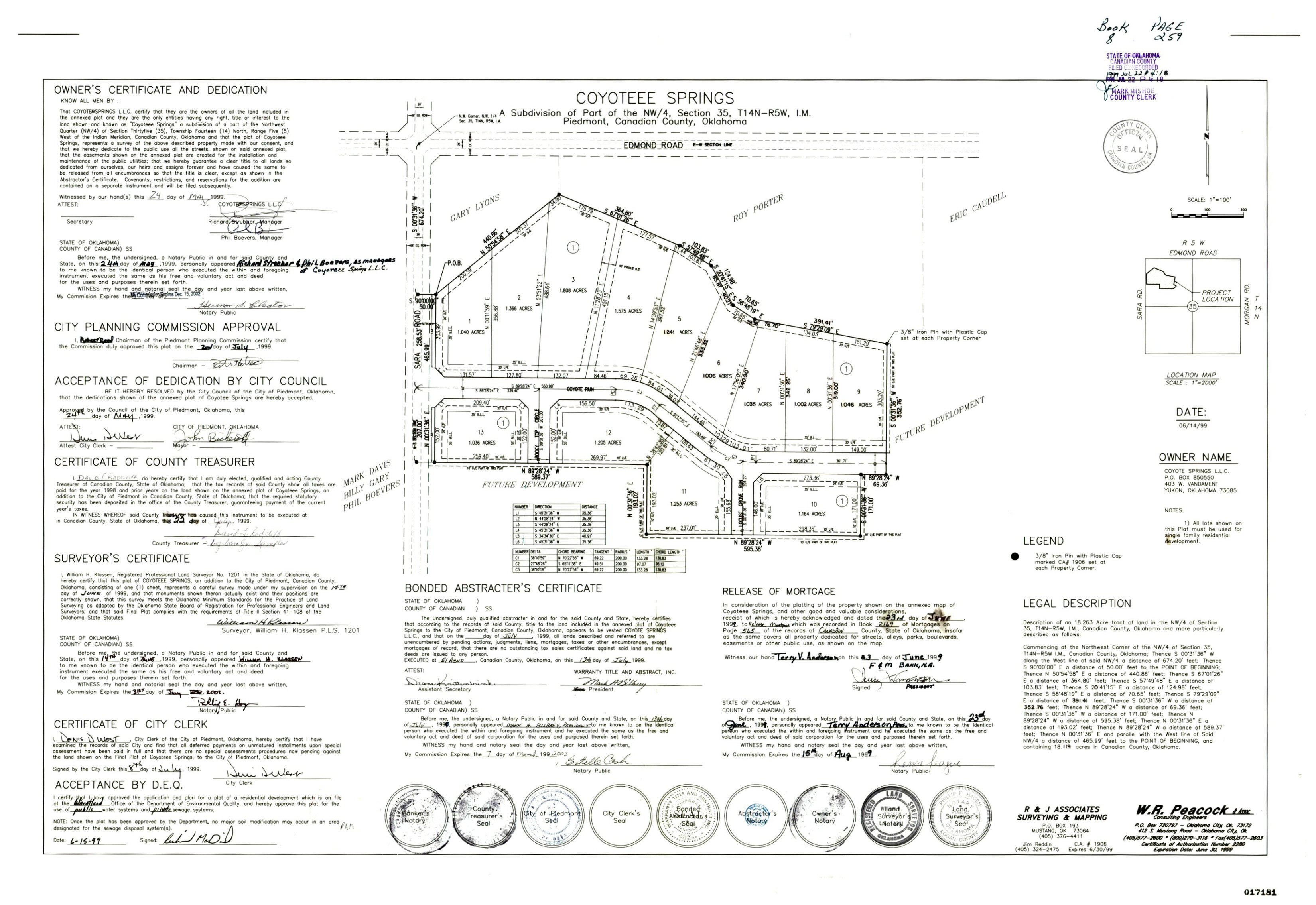
- Coyotee Springs.jpg
- Creeks At Avalon Section 2.tif
- Creeks At Avalon.Tif
- Creekside Village Phase 1.TIF
- Creekside Village Phase 2.TIF
- Crestone Ridge 1.TIF
- Crestone Ridge II.TIF
- Crestone Ridge III.TIF
- Crestone Ridge IV.TIF
- Crestone Ridge V.TIF
- Crestone Ridge VI Replat of Lots 3-8 Block 16.TIF
- Crestone Ridge VI.TIF
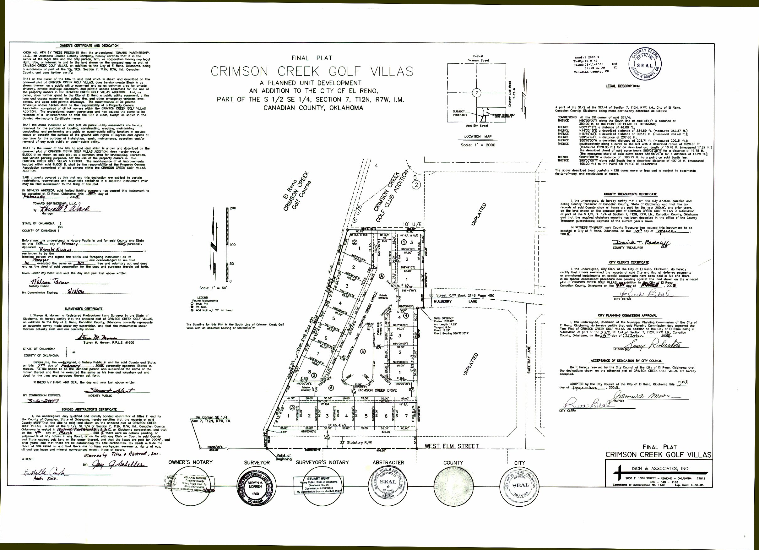
- Crimsom Creek Golf Villas.jpg
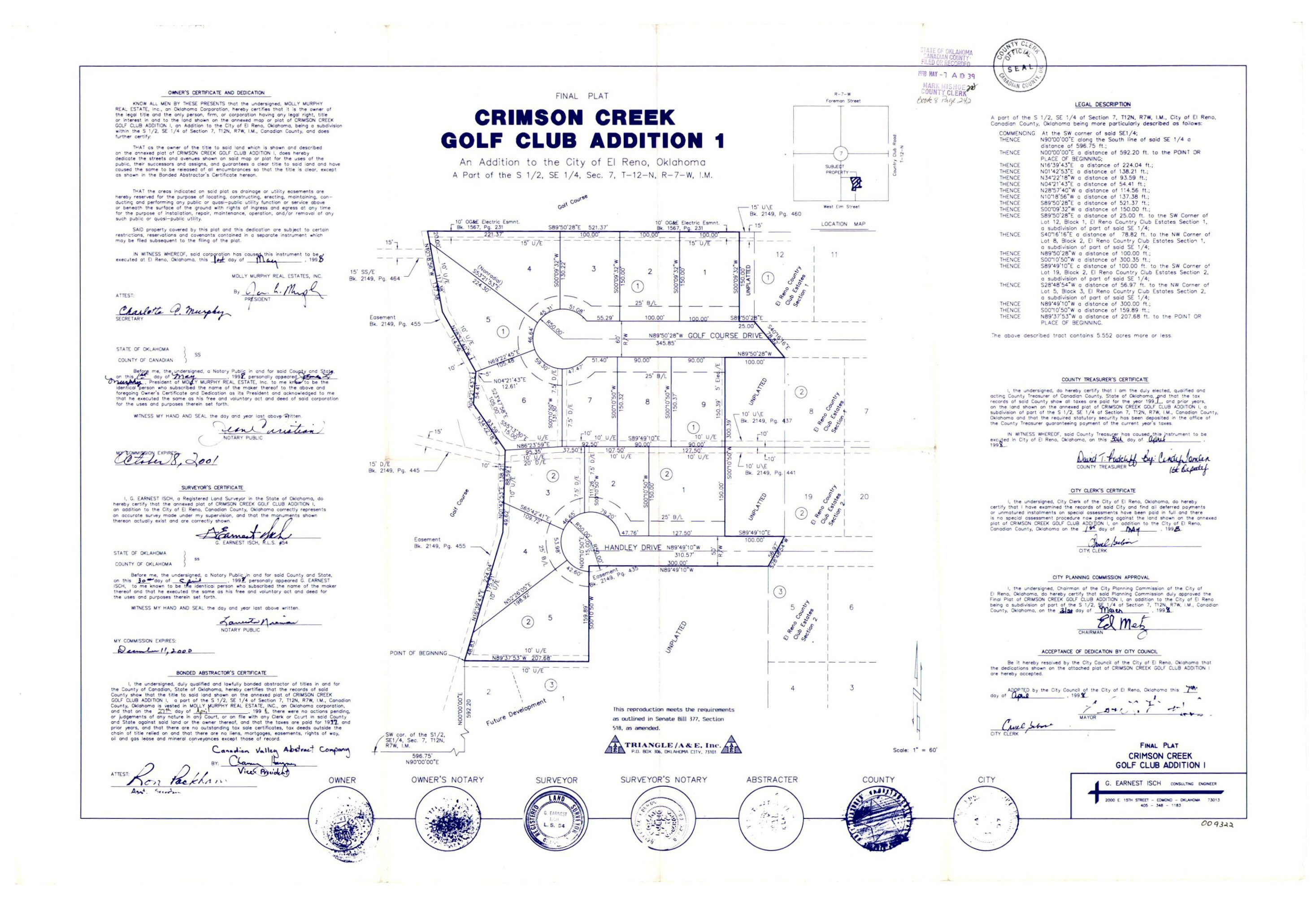
- Crimson Creek Golf Club Addition 1.jpg
- Crimson Creek Golf Villas.jpg
- Crimson Creek North Addition.tif
- Crimson Lake Estates Phase 1.TIF
- Crimson Lake Estates Phase 2.TIF
- Crimson Lake Estates Phase 3.TIF
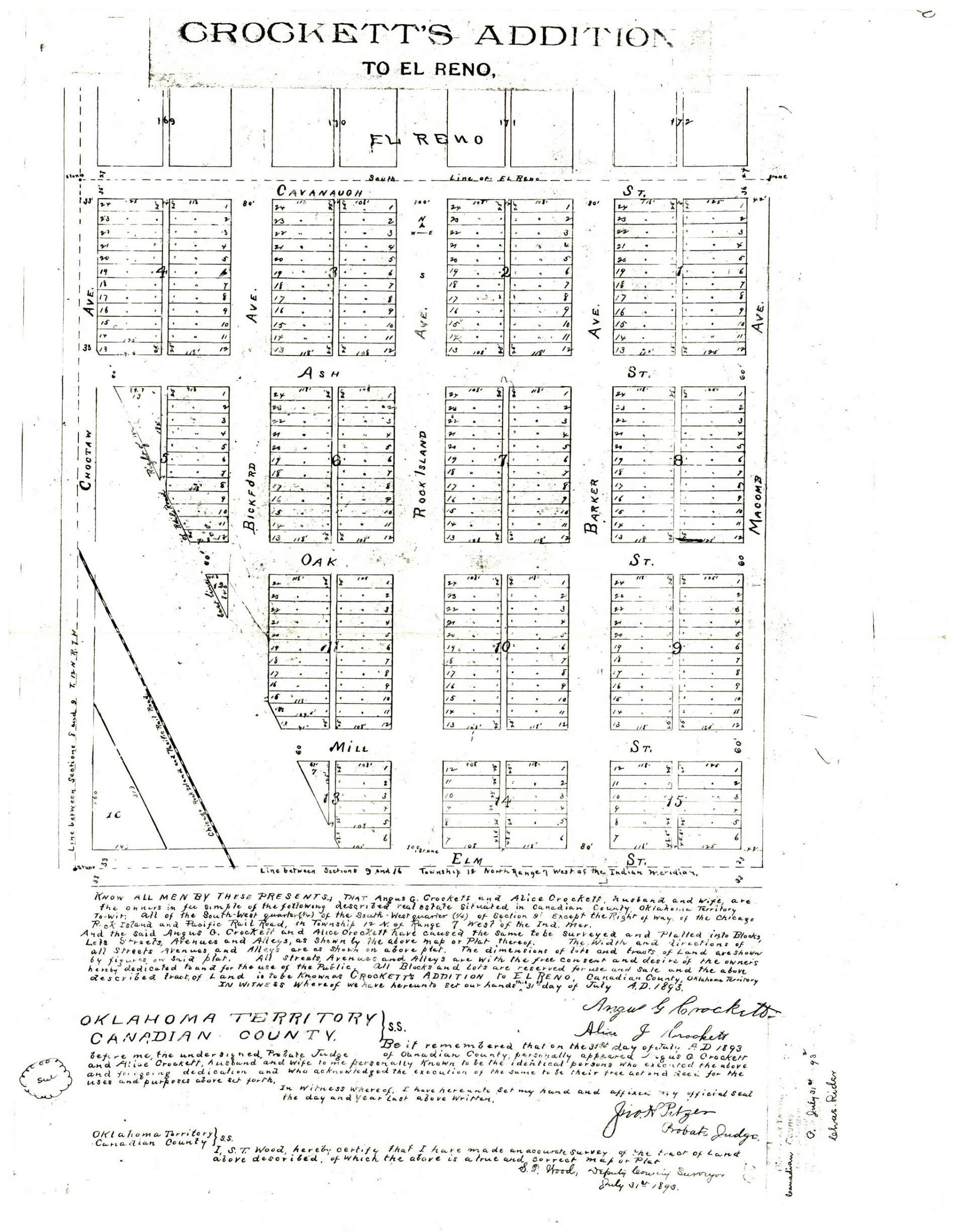
- Crockett's Addition .TIF
- Crockett's Addition.jpg
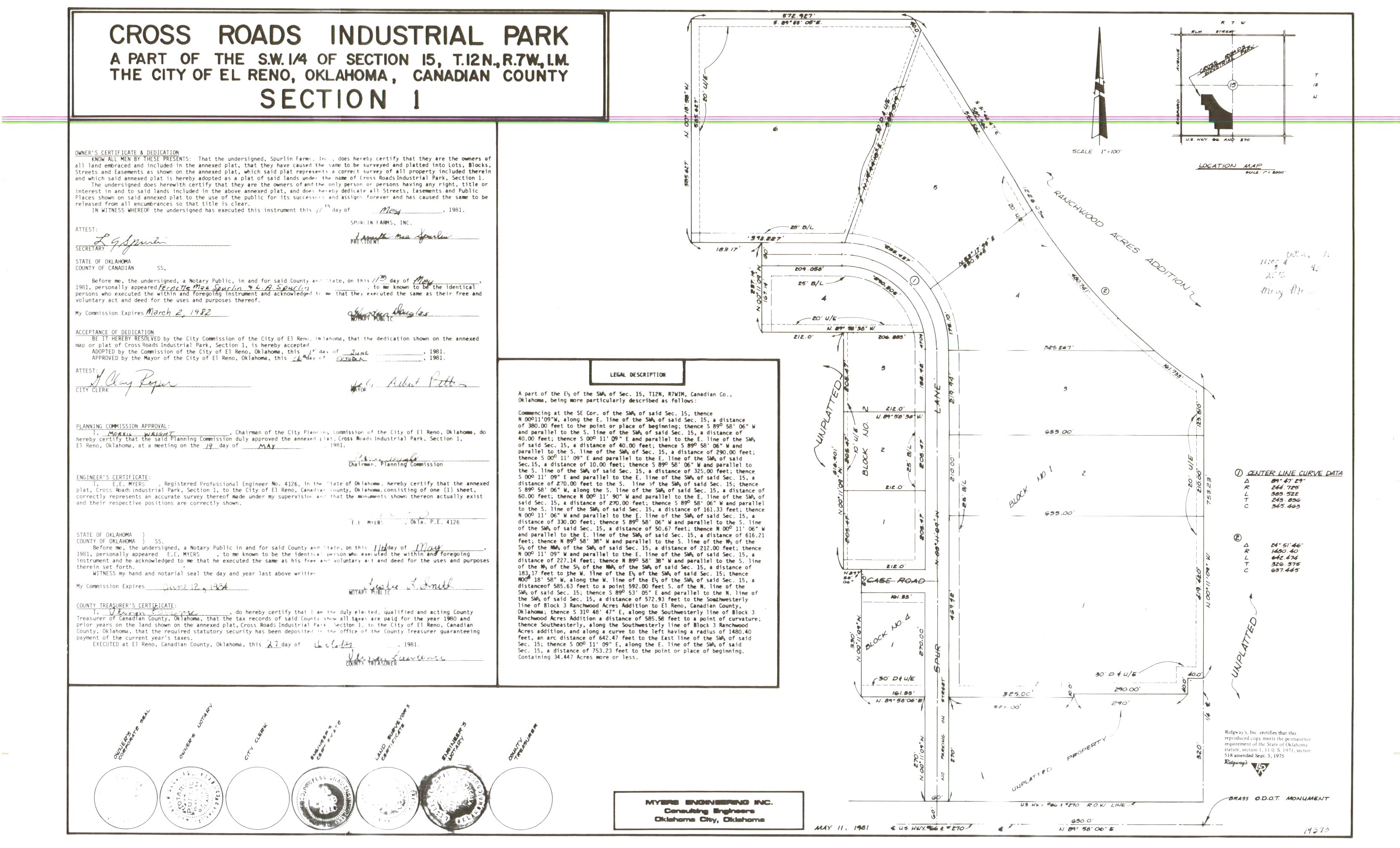
- Cross Road Industrial Park.jpg
- Crossroads Pointe Phase I Addition.TIF
- Crossroads Pointe Phase II Addition.TIF
- Crystal Creek At Westbury.TIF
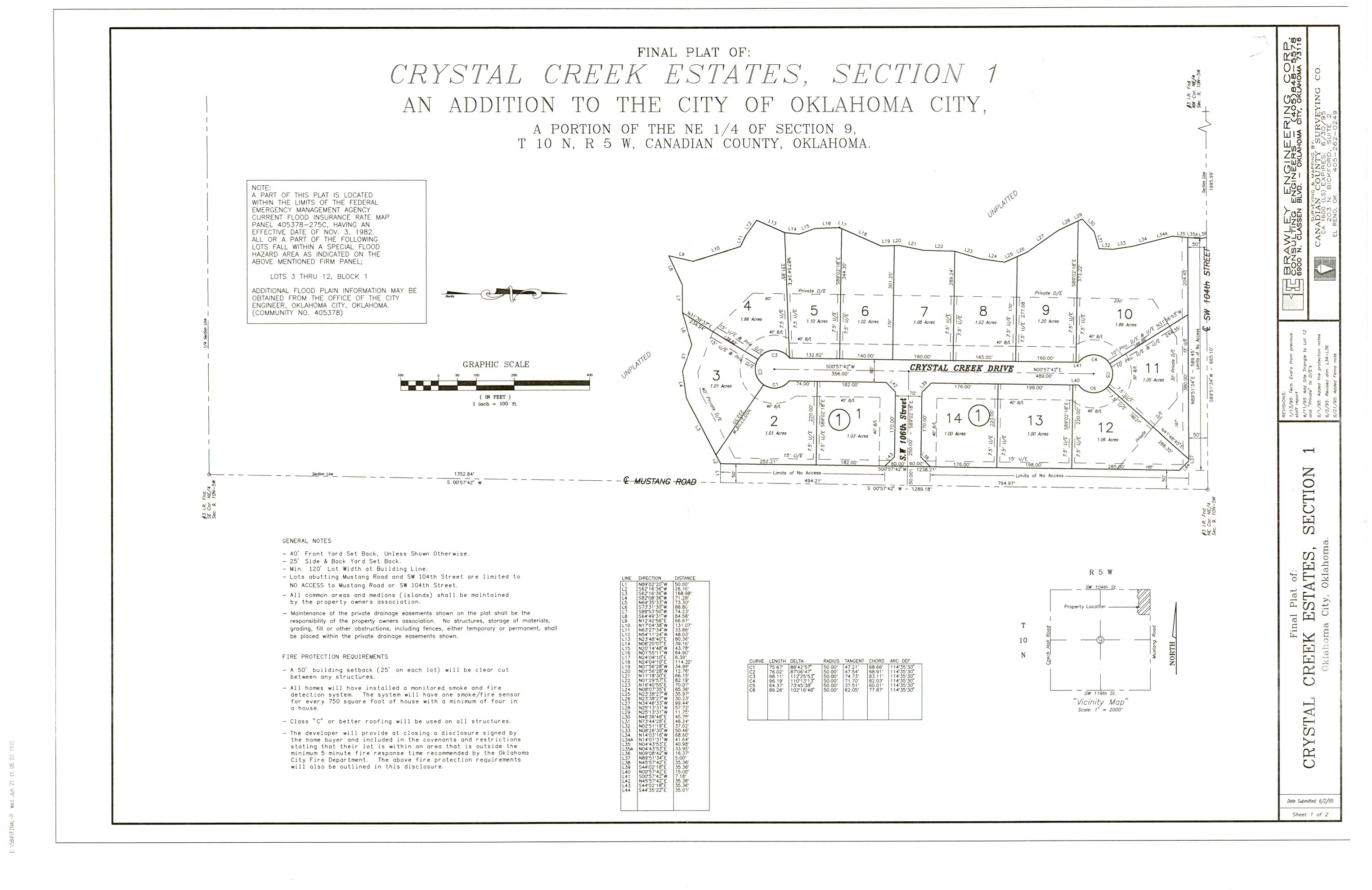
- Crystal Creek Estates Section 1.jpg
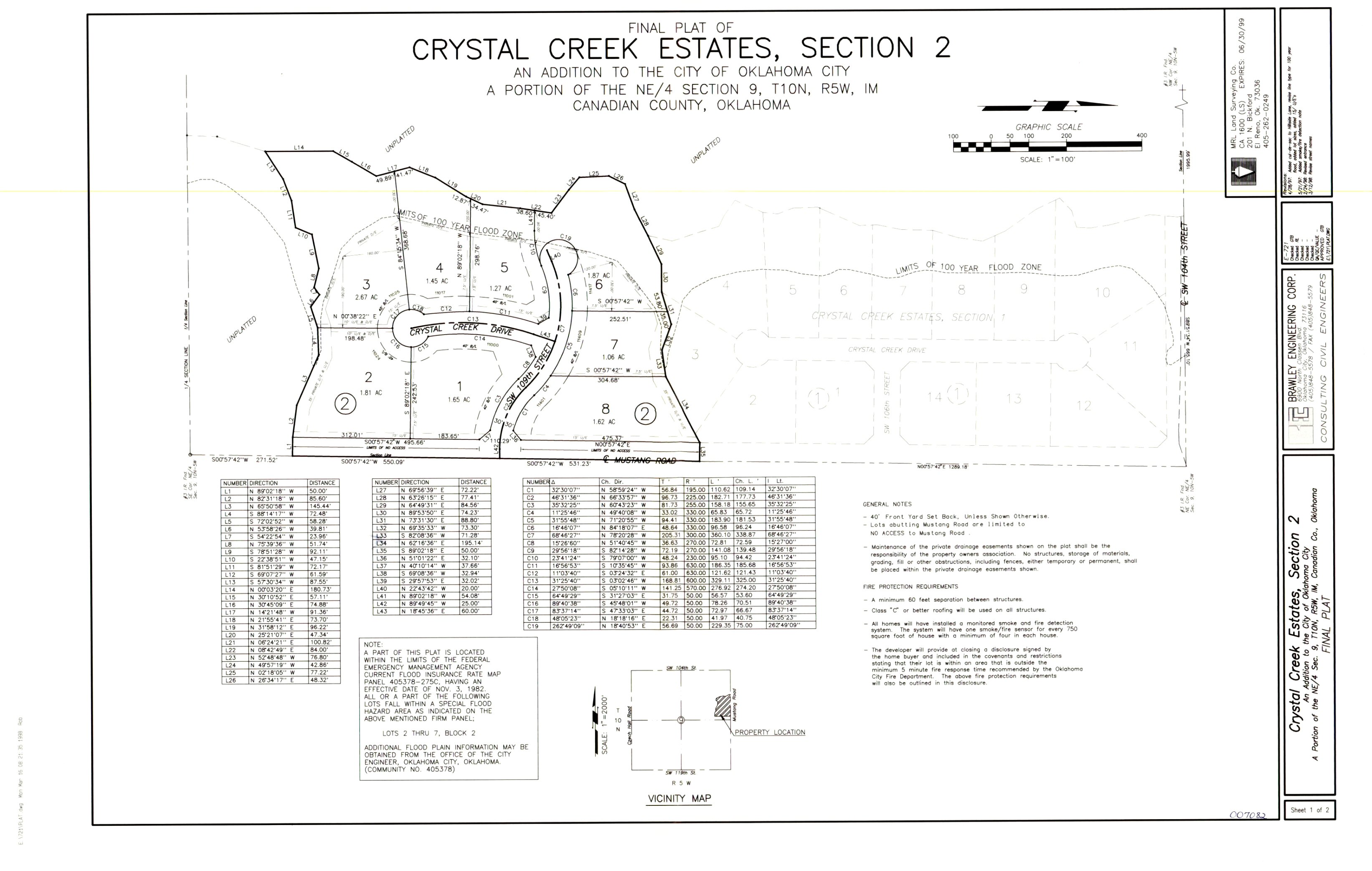
- Crystal Creek Estates Section 2.jpg
- Crystal Hill Estates Section 1.TIF
- Crystal Hill Estates Section 2.TIF
- Crystal Hill Estates Section 3.TIF
- Crystal Hill Estates Section 4.TIF
- Crystal Springs.TIF
- Czech Hall Estates.Tif
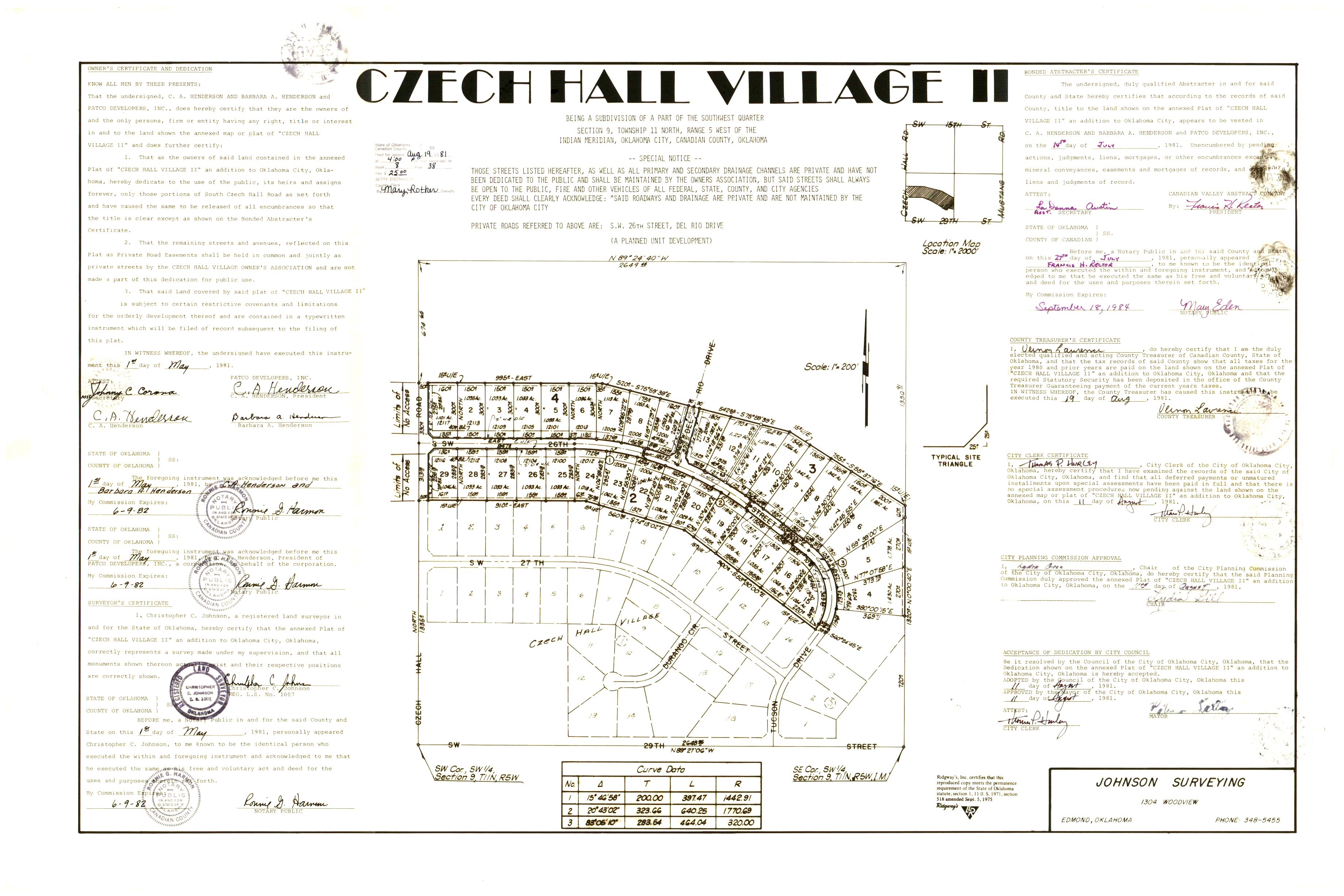
- Czech Hall Village 2.jpg
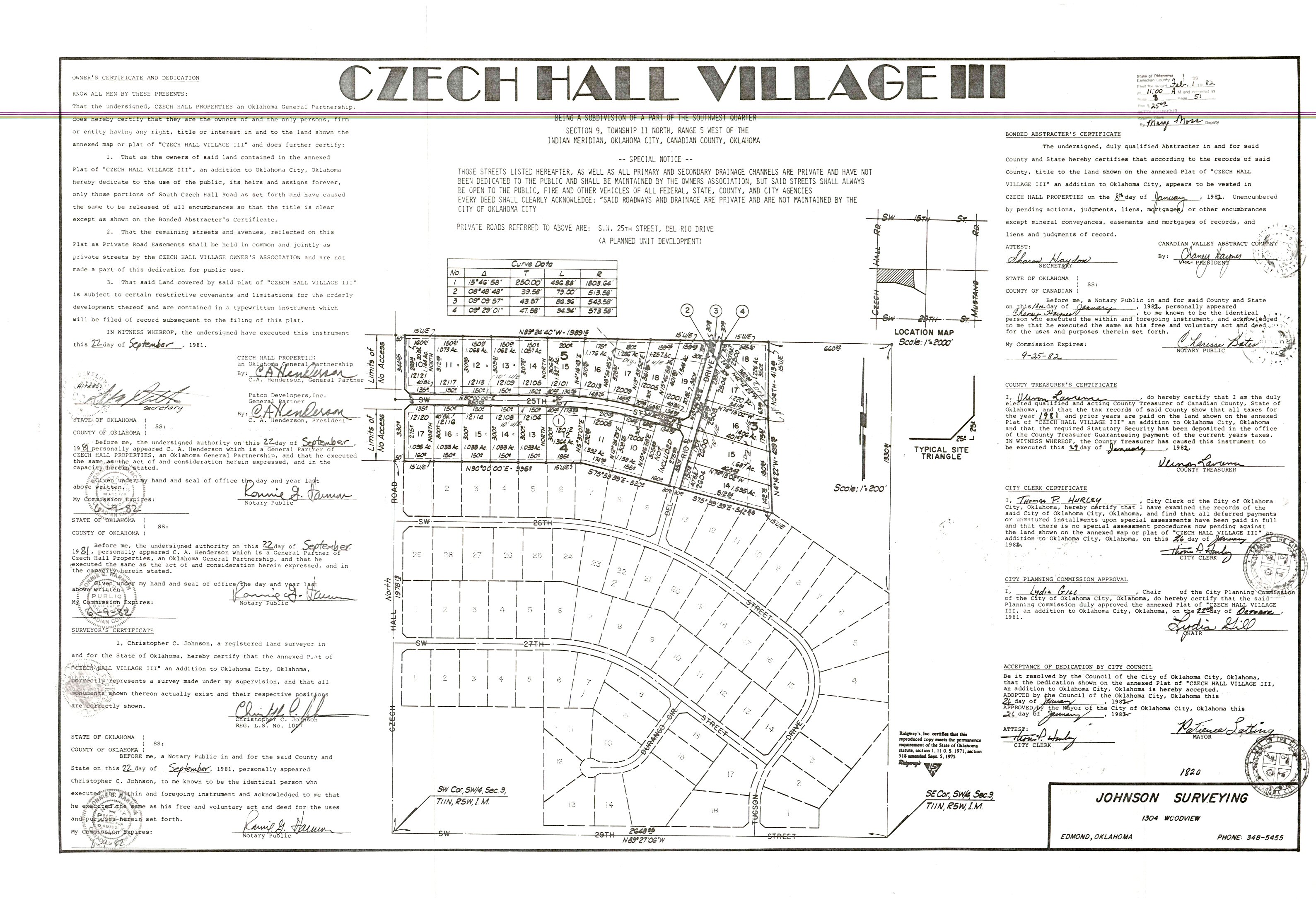
- Czech Hall Village 3.jpg
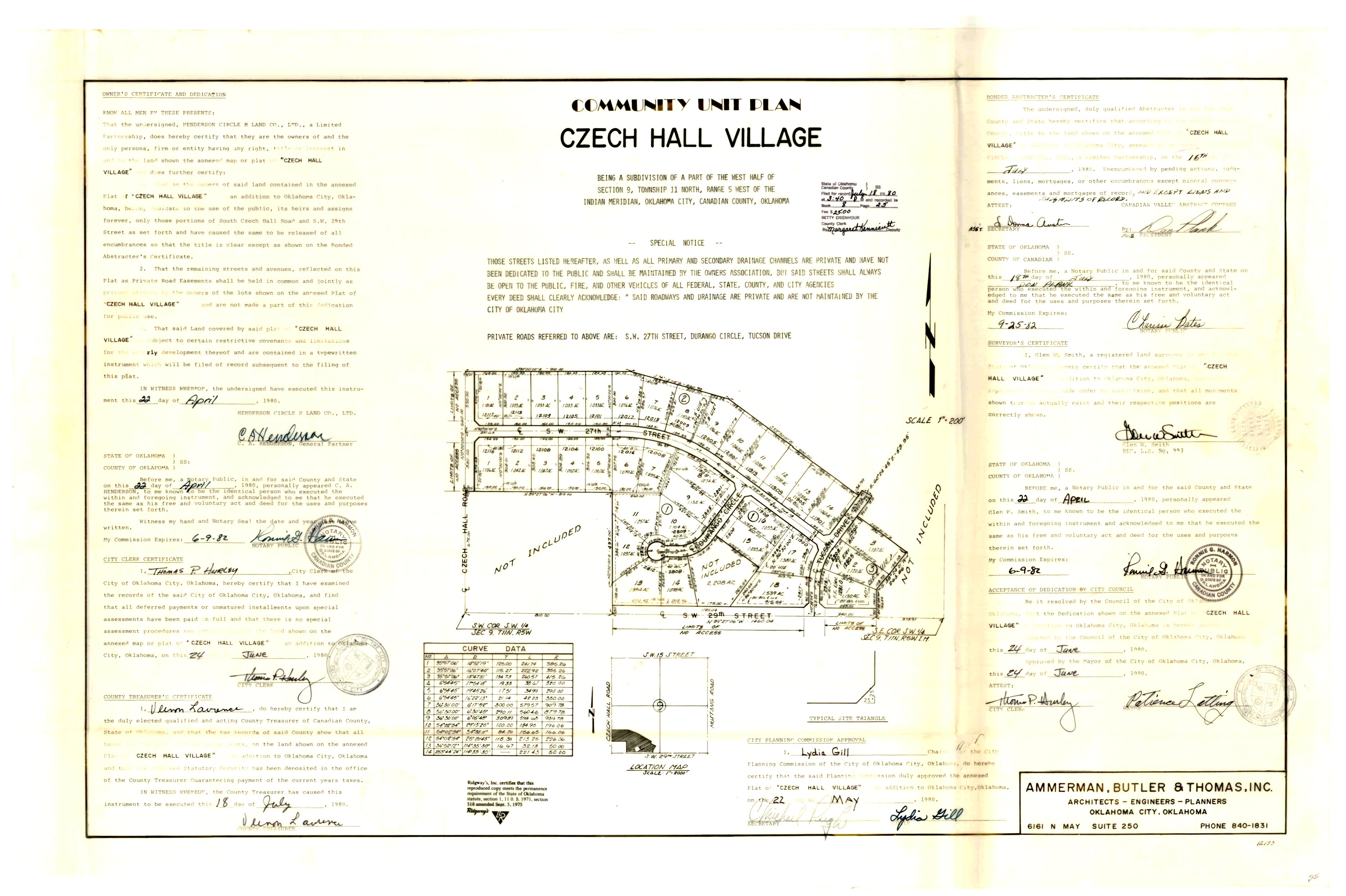
- Czech Hall Village.jpg
- Gardens At Chisholm Creek Phase 1.tif
|